MyTopo
Classic USGS Woodville Florida 7.5'x7.5' Topo Map
Couldn't load pickup availability
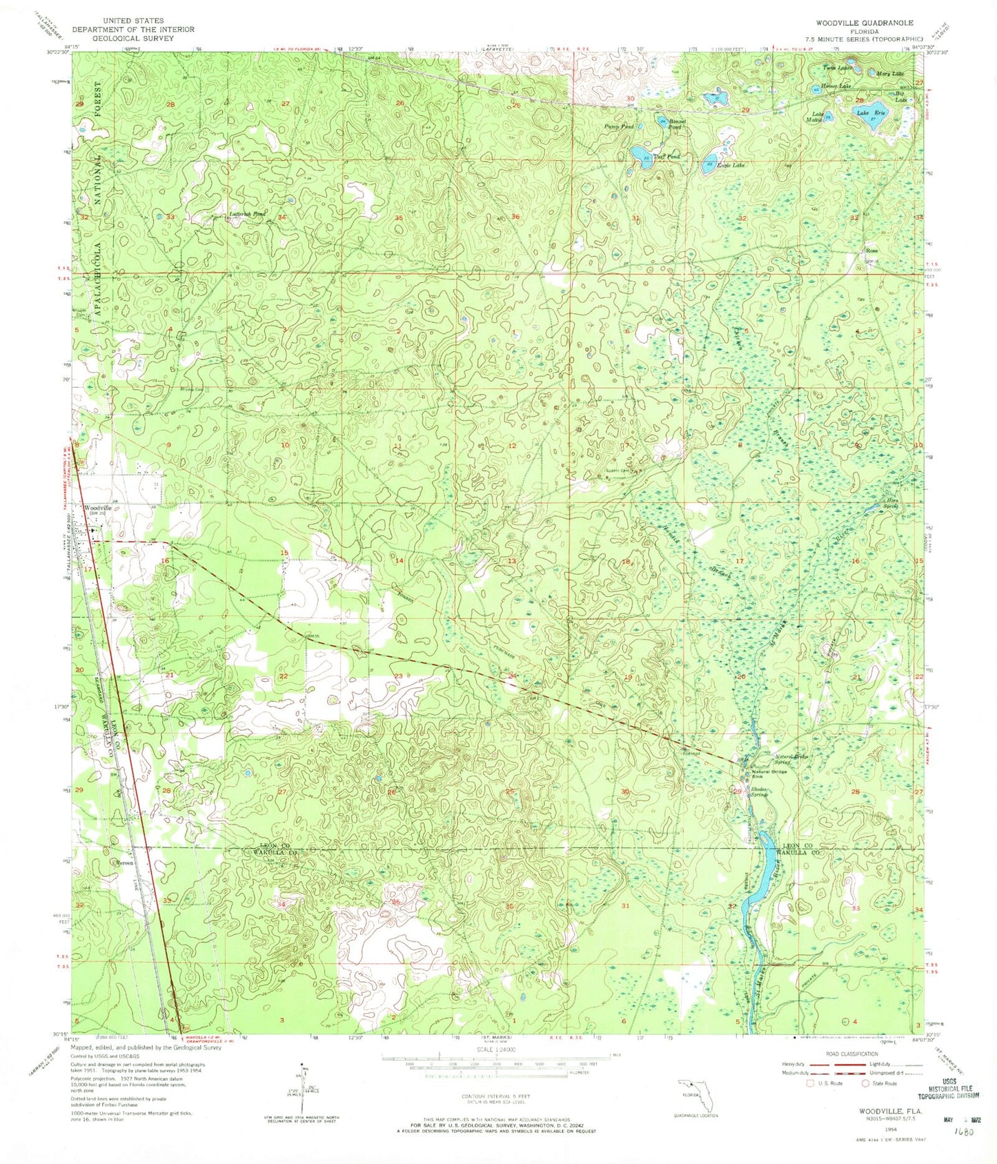
Historical USGS topographic quad map of Woodville in the state of Florida. Map scale may vary for some years, but is generally around 1:24,000. Print size is approximately 24" x 27"
This quadrangle is in the following counties: Leon, Wakulla.
The map contains contour lines, roads, rivers, towns, and lakes. Printed on high-quality waterproof paper with UV fade-resistant inks, and shipped rolled.
Contains the following named places: Big Lake, Bonnet Pond, Corey, Eagle Lake, Hamlin Branch, Homer Lake, Horn Spring, Kelley Cemetery, Lake Erie, Lake Mattie, Live Oak Orchard Pond, Lutterloh Pond, Mary Lake, Natural Bridge Battlefield Historic State Park, Natural Bridge Sink, Natural Bridge Spring, Pump Pond, Rhodes Cemetery, Rhodes Springs, Rose, Saint Marks Spring, Saint Phillip Primitive Baptist Church of Christ, Southeast Leon Division, Tallahassee Southeast Division, Turf Pond, Twin Lakes, Vereen, Wakulla Correctional Institution, Wakulla Correctional Institution Annex, Woodville, Woodville Elementary School, Woodville Post Office, WTWF-AM (Woodville)