MyTopo
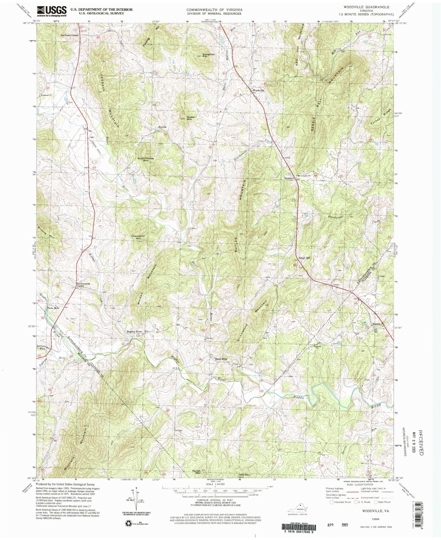
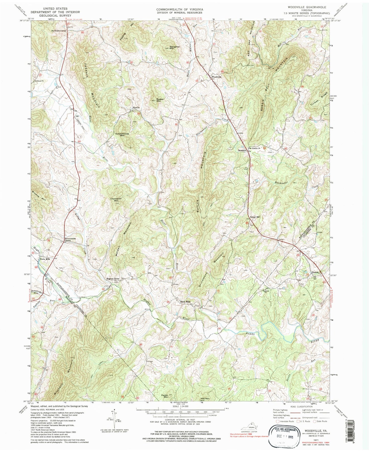
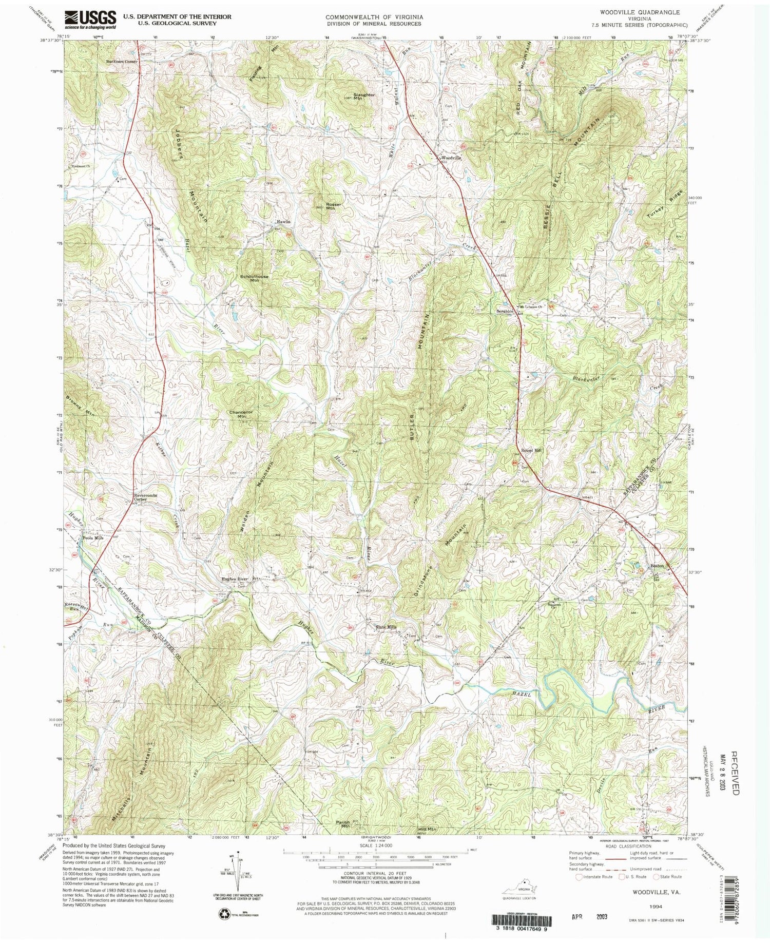
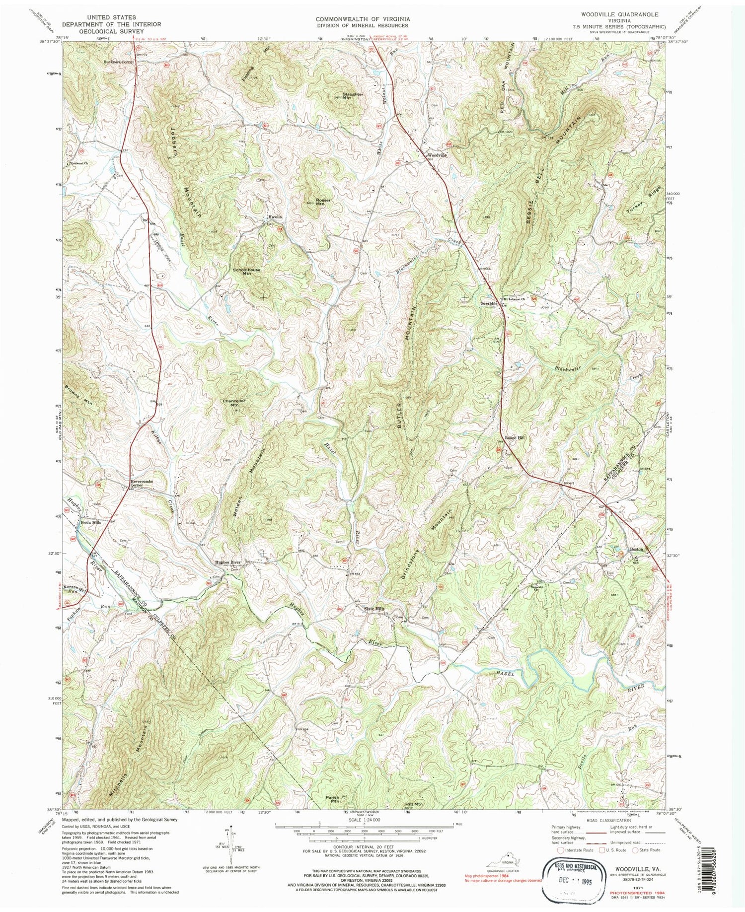
Classic USGS Woodville Virginia 7.5'x7.5' Topo Map
Couldn't load pickup availability
Historical USGS topographic quad map of Woodville in the state of Virginia. Typical map scale is 1:24,000, but may vary for certain years, if available. Print size: 24" x 27"
This quadrangle is in the following counties: Culpeper, Madison, Rappahannock.
The map contains contour lines, roads, rivers, towns, and lakes. Printed on high-quality waterproof paper with UV fade-resistant inks, and shipped rolled.
Contains the following named places: Bessie Bell Mountain, Butler Mountain, Chancellor Mountain, Fielding Mountain, Grindstone Mountain, Hughes River, Hughes River, Jobbers Mountain, Kilbys Creek, Mount Lebanon Church, Nazareth Church, Parish Mountain, Popham Run, Rosser Mountain, Rosson Hollow Run, Slaughter Mountain, Turkey Ridge, Boston, Round Hill, Slate Mills, James H Fletcher Bridge, Rocky Run, Stevenson Church (historical), Shackelford Airport (historical), Buckners Corner, Hawlin, Hitt Mountain, Peola Mills, Revercombs Corner, Schoolhouse Mountain, Scrabble, Walden Mountain, Woodville, Bald Mountain, Shiloh Baptist Church, Slate Mills Baptist Church, Woodville Baptist Church, Stonewall-Hawthorne District, Jenkins Orchard, Boston Post Office


