MyTopo
Classic USGS Woodward Pennsylvania 7.5'x7.5' Topo Map
Couldn't load pickup availability
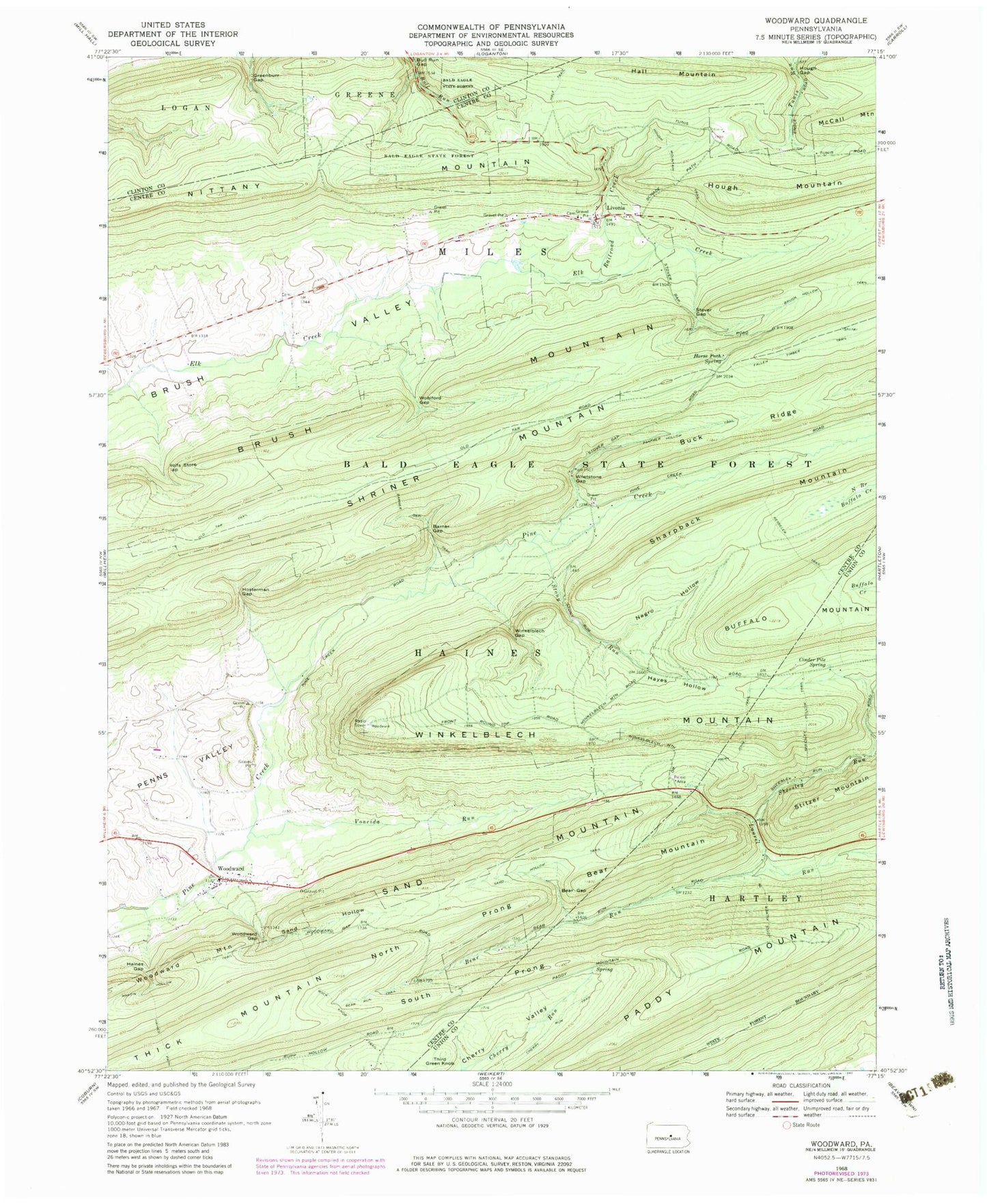
Historical USGS topographic quad map of Woodward in the state of Pennsylvania. Typical map scale is 1:24,000, but may vary for certain years, if available. Print size: 24" x 27"
This quadrangle is in the following counties: Centre, Clinton, Union.
The map contains contour lines, roads, rivers, towns, and lakes. Printed on high-quality waterproof paper with UV fade-resistant inks, and shipped rolled.
Contains the following named places: Barner Gap, Bear Gap, Bear Mountain, Bear Run, Bear Run Trail, Brush Hollow Trail, Bull Run Gap, Cherry Run Trail, Cinder Pile Spring, Fallen Timber Trail, Greenburr Gap, Haines Gap, Hairy John Trail, Hall Mountain, Hayes Hollow, Horse Path Spring, Hosterman Gap, Hough Gap, Hough Mountain, Hough Mountain Trail, Joyce Kilmer Trail, Kesseler Trail, Livonia, Martin Hollow Trail, Negro Hollow, North Prong Thick Mountain, Paddy Mountain, Panther Hollow Trail, Railroad Creek, Rock Knob Trail, Sand Hollow, Sand Hollow Trail, Sand Mountain, Sharpback Mountain, Sheesley Hollow Trail, Sheesley Run, Shriner Mountain, South Prong Thick Mountain, Stony Run, Stover Gap, Third Green Knob, Voneida Run, Woodward Mountain, Whetstone Gap, Winkelblech Mountain, Wohlford Gap, Wolfs Store Gap, Woodward, Woodward Gap, Haines Path, Nittany Mountain, Old Tar Trail, Woodward Mountain, Brungart Church (historical), CCC Camp (historical), Voneida State Forest Park (historical), Joyce Kilmer Monument, Wohlford Run, Barner Run, Sand Hollow Fire Trail, Hall Trail, Schade Trail, Sharpback Trail, Black Gap Trail, Hairy Johns Picnic Area, Township of Haines, Township of Miles, Winkelblech Gap, Woodward Census Designated Place, Woodward Post Office, Livonia Cemetery, Brungart Cemetery, Woodward Union Cemetery


