MyTopo
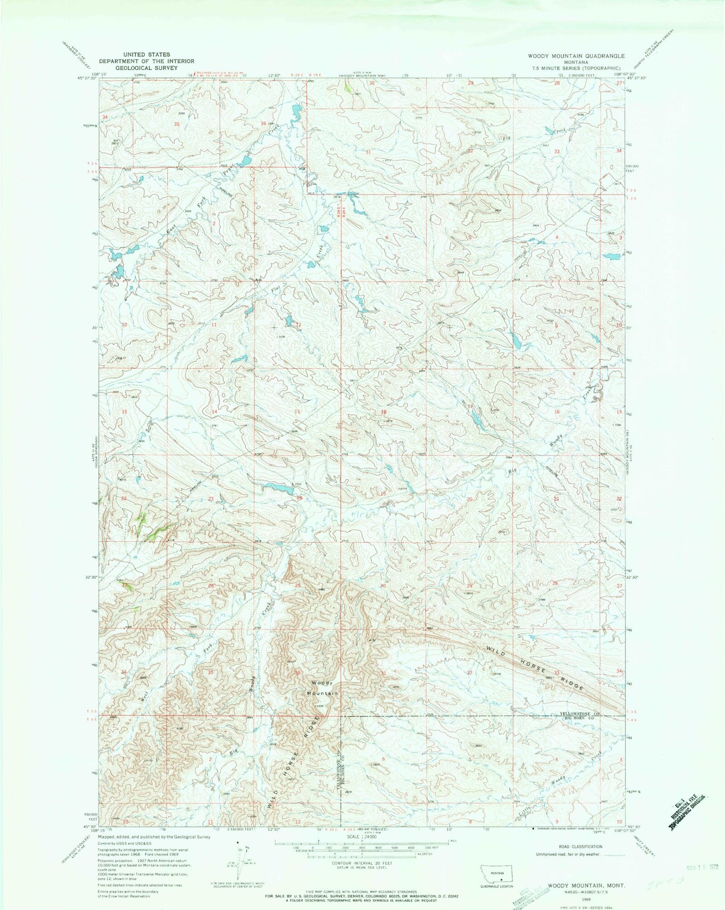
Classic USGS Woody Mountain Montana 7.5'x7.5' Topo Map
Couldn't load pickup availability
Historical USGS topographic quad map of Woody Mountain in the state of Montana. Map scale may vary for some years, but is generally around 1:24,000. Print size is approximately 24" x 27"
This quadrangle is in the following counties: Big Horn, Yellowstone.
The map contains contour lines, roads, rivers, towns, and lakes. Printed on high-quality waterproof paper with UV fade-resistant inks, and shipped rolled.
Contains the following named places: 04S53E05ADBC01 Well, Crow Number 84 Dam, Crow Number 85 Dam, Crow Number 86 Dam, Crow Number 87 Dam, Doctor Lee Number 1 Dam, Flat Creek, Leachman Number 1 Dam, Leachman Number 2 Dam, Leachman Number 4 Dam, West Fork Big Woody Creek, Wild Horse Ridge, Woody Mountain