MyTopo
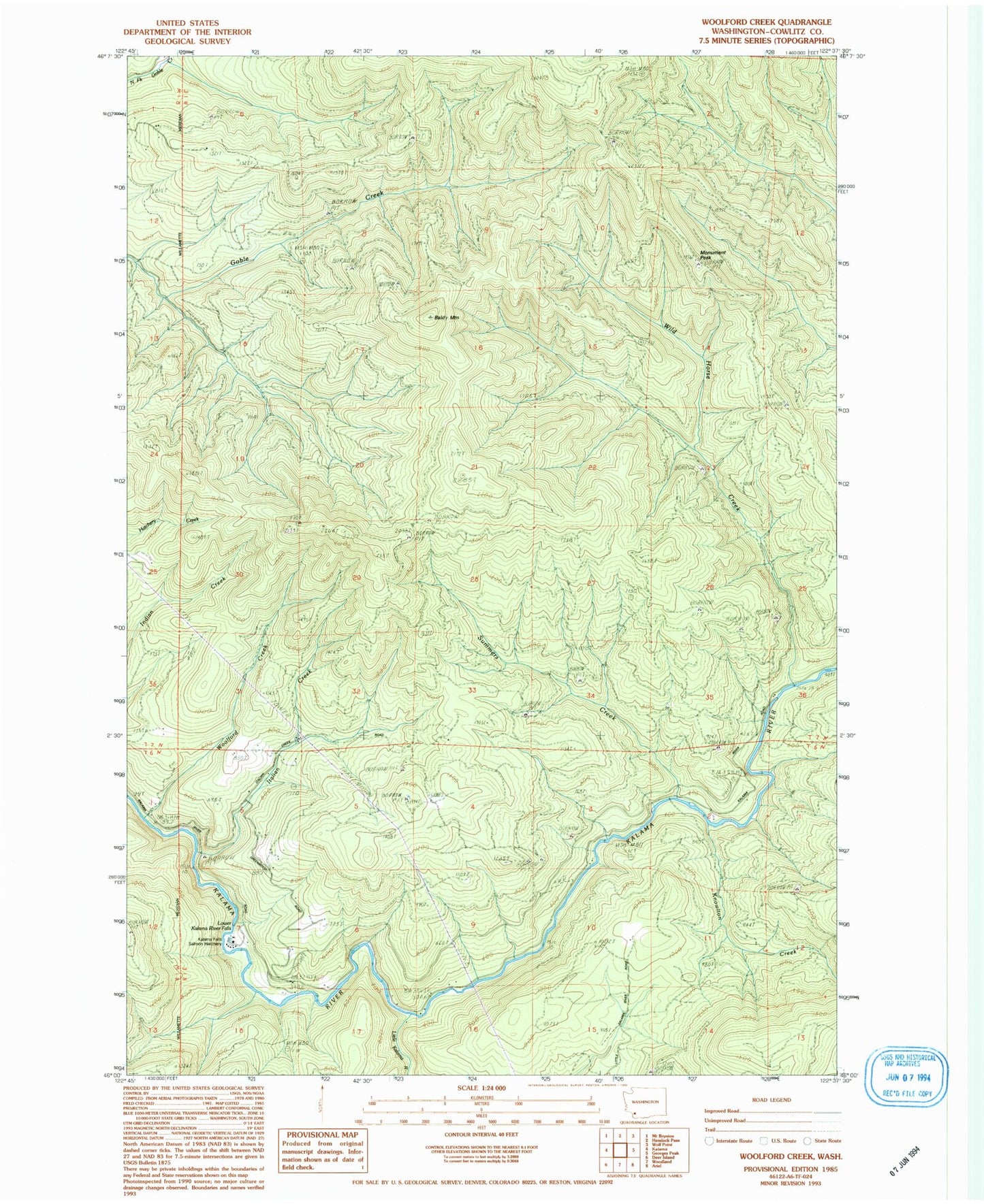
Classic USGS Woolford Creek Washington 7.5'x7.5' Topo Map
Regular price
$16.95
Regular price
Sale price
$16.95
Unit price
per
Couldn't load pickup availability
Historical USGS topographic quad map of Woolford Creek in the state of Washington. Map scale may vary for some years, but is generally around 1:24,000. Print size is approximately 24" x 27"
This quadrangle is in the following counties: Cowlitz.
The map contains contour lines, roads, rivers, towns, and lakes. Printed on high-quality waterproof paper with UV fade-resistant inks, and shipped rolled.
Contains the following named places: Baldy Mountain, Goble Mountain, Italian Creek, Kalama Falls Salmon Hatchery, Knowlton Creek, Little Kalama River, Lower Kalama River Falls, Monument Peak, Summers Creek, Wild Horse Creek, Wild Horse Peak, Woolford Creek, Woolford Mountain, ZIP Code: 98625