MyTopo
Classic USGS Worden Illinois 7.5'x7.5' Topo Map
Couldn't load pickup availability
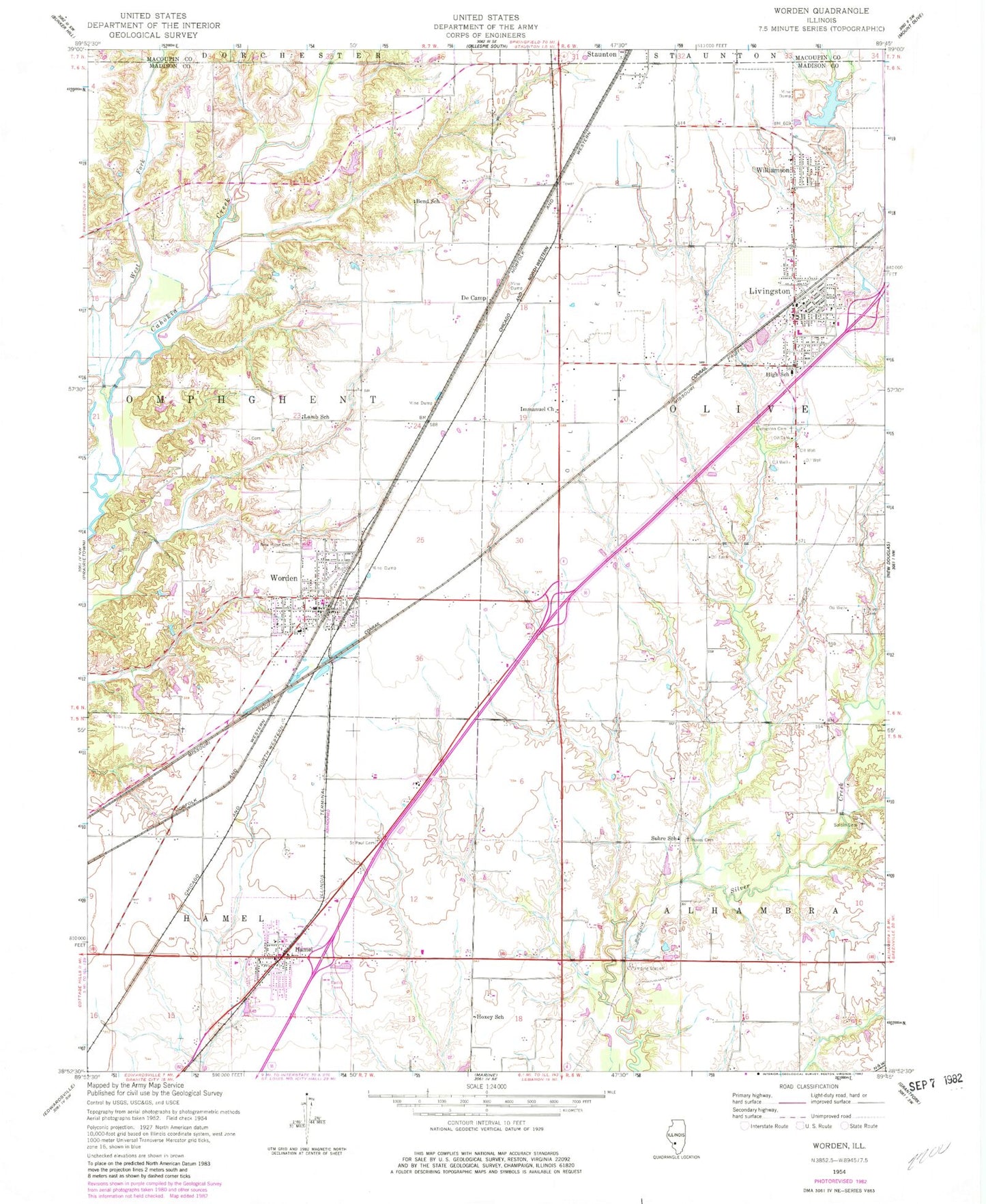
Historical USGS topographic quad map of Worden in the state of Illinois. Map scale may vary for some years, but is generally around 1:24,000. Print size is approximately 24" x 27"
This quadrangle is in the following counties: Macoupin, Madison.
The map contains contour lines, roads, rivers, towns, and lakes. Printed on high-quality waterproof paper with UV fade-resistant inks, and shipped rolled.
Contains the following named places: A R Graiff Elementary School, Alhambra - Hamel Ambulance Service, Assembly of God Church, Bend School, Bond School, De Camp, First Baptist Church, Hamel, Hamel Community Center, Hamel Community Fire Protection District, Hamel Community Park, Hamel Elementary School, Hamel Post Office, Hamel Village Police Department, Hazel Dell School, Holy Cross Lutheran Church, Hoxey School, Hoxsey Cemetery, Immanuel Church, John Slifka Memorial Park, Lamb School, Livingston, Livingston High School, Livingston Police Department, Livingston Post Office, McCaughey Cemetery, Meadow View Gardens, Miners Memorial Park, Moultonville School, Mount Olive Staunton Coal Company Reservoir, New Hope Baptist Church, New Hope Cemetery, Olive Cemetery, Olive Fire District Station 1, Olive Fire District Station 2, Olive Townhall, Opels Fish Farm, Opel's Fish Hatchery, Sacred Heart Cemetery, Sacred Heart Church, Saint Paul Church, Saint Paul Lutheran Cemetery, Salem Evangelical Cemetery, Sandbach Cemetery, Slifka Memorial Park, Spangle Cemetery, Spangle School, Suhre School, Township of Hamel, Township of Olive, Township of Omphghent, Trinity Lutheran Church, Trinity Lutheran School, Vesper Lake, Vesper Lake Dam, Village of Hamel, Village of Livingston, Village of Williamson, Village of Worden, West Fork Cahokia Creek, West School, Williamson, Williamson Dam, Worden, Worden City Hall, Worden Fire Department, Worden High School, Worden Lutheran Cemetery, Worden Police Department, Worden Post Office, ZIP Codes: 62046, 62058, 62097


