MyTopo
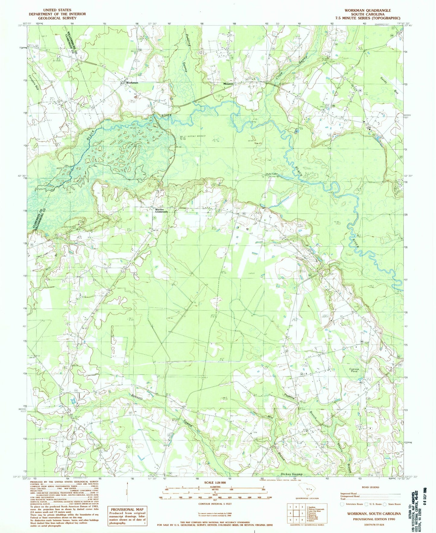
Classic USGS Workman South Carolina 7.5'x7.5' Topo Map
Couldn't load pickup availability
Historical USGS topographic quad map of Workman in the state of South Carolina. Map scale may vary for some years, but is generally around 1:24,000. Print size is approximately 24" x 27"
This quadrangle is in the following counties: Clarendon, Williamsburg.
The map contains contour lines, roads, rivers, towns, and lakes. Printed on high-quality waterproof paper with UV fade-resistant inks, and shipped rolled.
Contains the following named places: Belsers Crossroads, Bethlehem Church, Bethlehem School, Beulah Church, Black River Church, Clapp Swamp, Conyer Lake, Conyer Lake Island, Cypress Pond, Duke Lake, First Care Medical Transport, Green School, Jordan Pond, Kingstree Golf Course, Martins Crossroads, Mary School, Mill Branch, Mount Vernon Cemetery, Mount Vernon Church, Mount Vernon School, Mouzon, Mouzon Church, Mouzon School, New Bethel Church, Oak Grove Church, Oak Grove School, Oakdale School, Pine Grove Church, Pudding Swamp, Pushing Branch, Retreat School, Saint James Church, Saint James School, Saint Johns Church, Saint Lukes Church, Saint Marys Church, Snow Hill School, Swamp Fox Golf Club, Wee Nee School, Williamsburg County Fire Department Station 1, Williamsburg County Fire Department Station 2, Workman, Workman Methodist Episcopal Church South