MyTopo
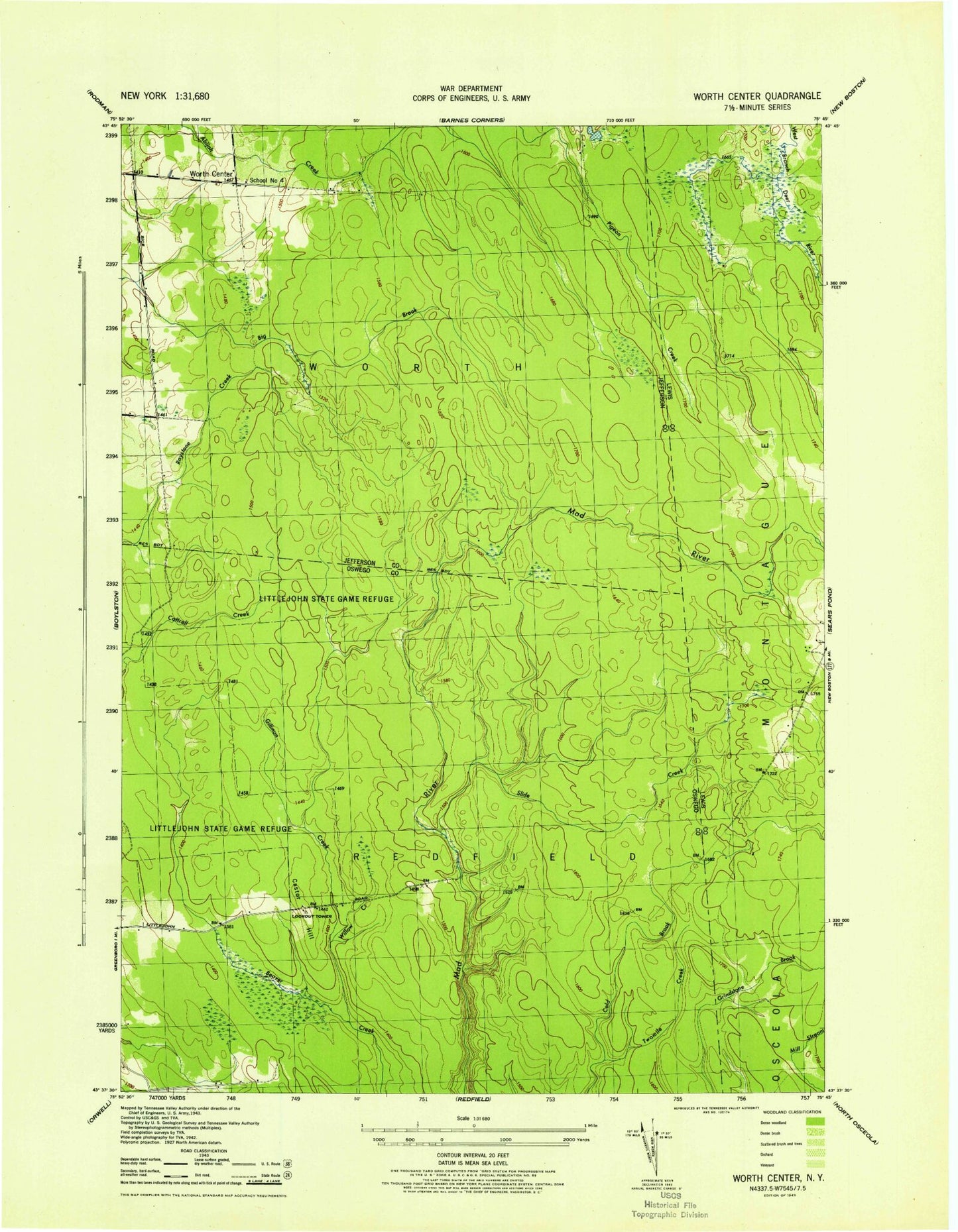
Classic USGS Worth Center New York 7.5'x7.5' Topo Map
Regular price
$16.95
Regular price
Sale price
$16.95
Unit price
per
Couldn't load pickup availability
Historical USGS topographic quad map of Worth Center in the state of New York. Typical map scale is 1:24,000, but may vary for certain years, if available. Print size: 24" x 27"
This quadrangle is in the following counties: Jefferson, Lewis, Oswego.
The map contains contour lines, roads, rivers, towns, and lakes. Printed on high-quality waterproof paper with UV fade-resistant inks, and shipped rolled.
Contains the following named places: Alder Bed Pond, Castor Hill, Gillman Creek, McDougal Creek, McNeil Creek, North Branch Slide Creek, Roaring Brook, Slide Creek, Twomile Creek, West Branch Gillman Creek, Perrigo Creek, Willow Creek, Worth Center, Town of Worth, School Number 4 (historical)