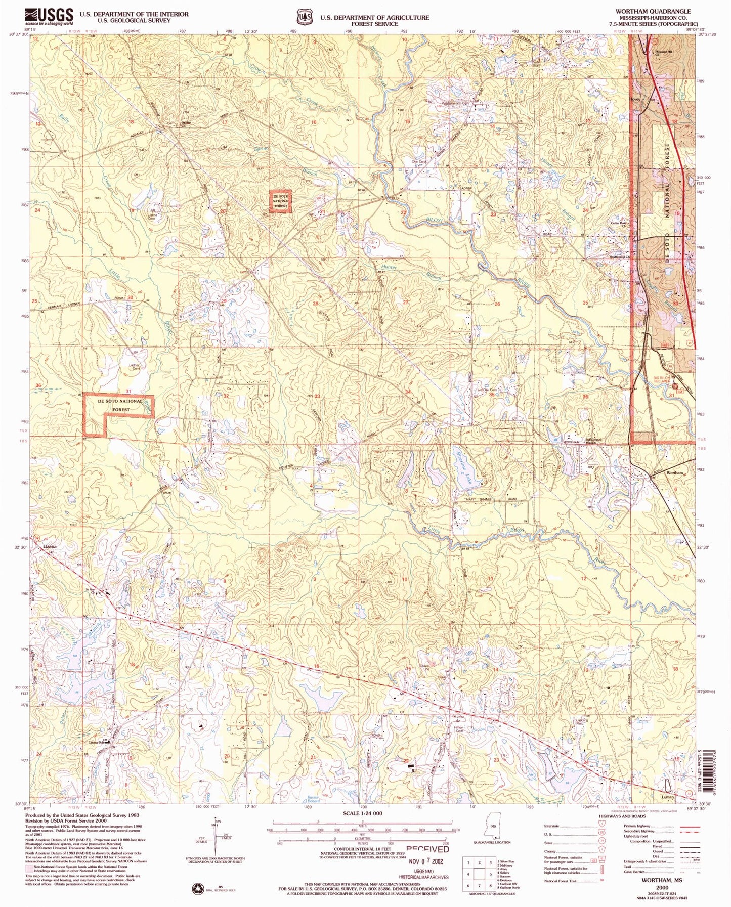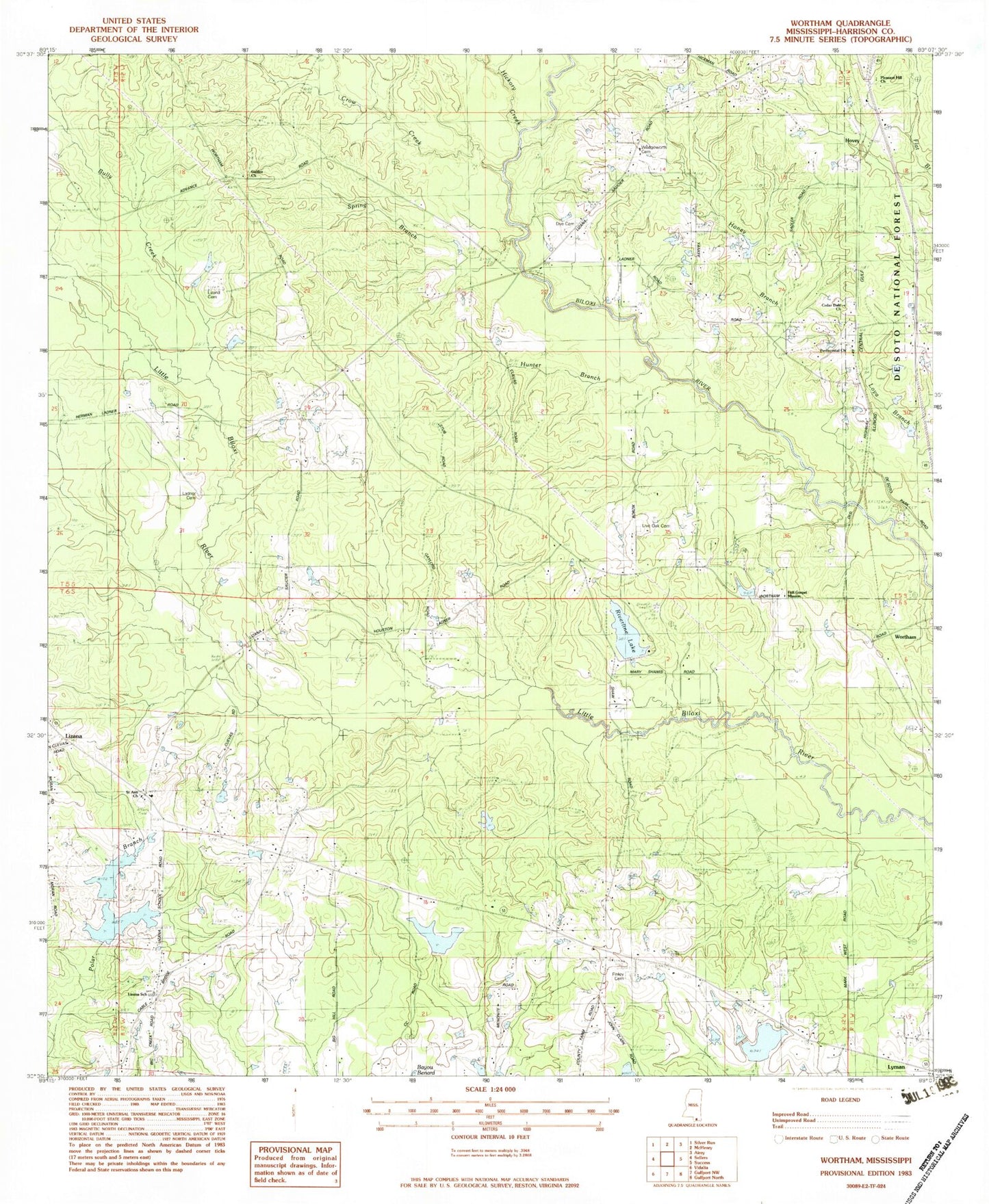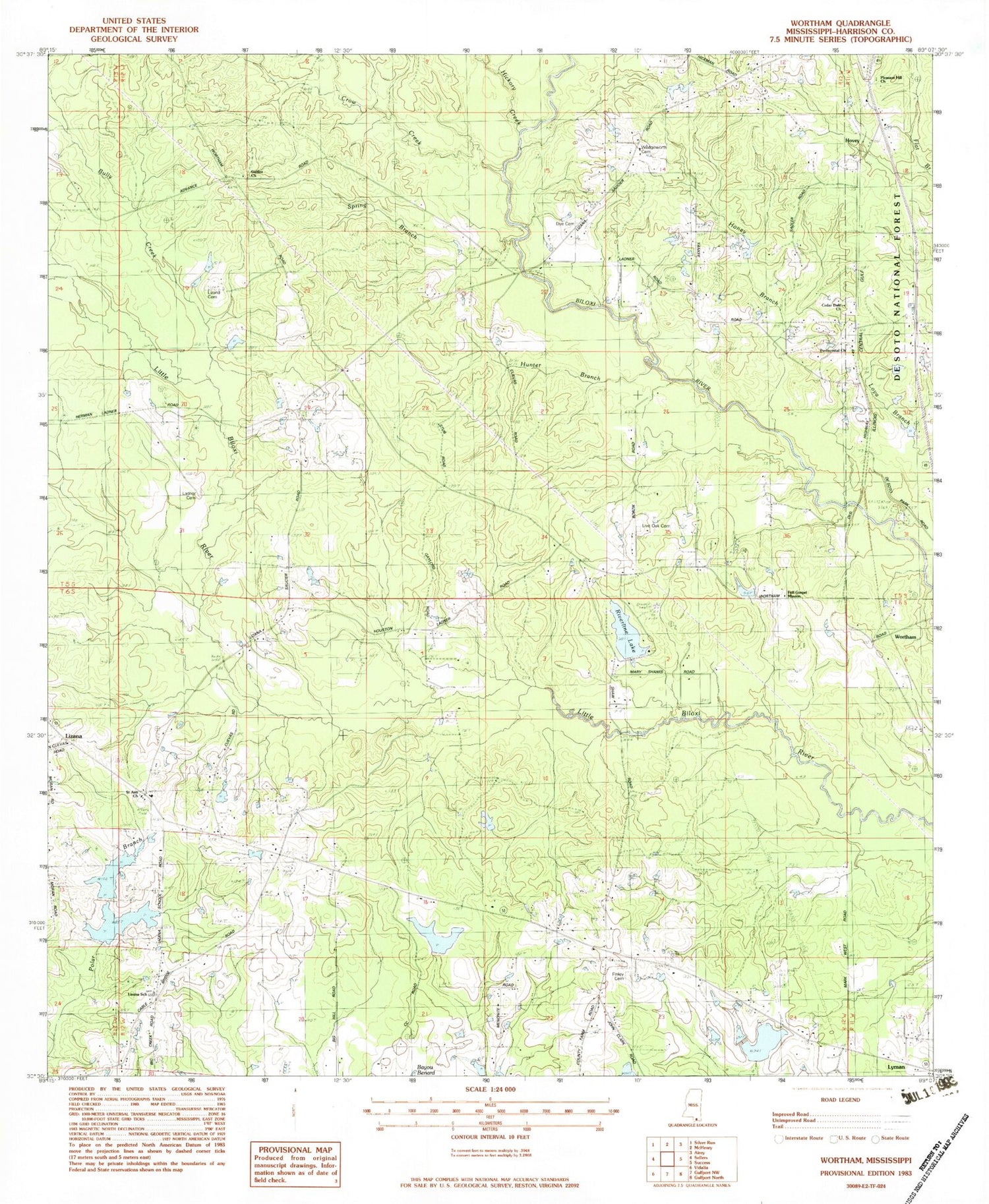
MyTopo
Classic USGS Wortham Mississippi 7.5'x7.5' Topo Map
Couldn't load pickup availability
Historical USGS topographic quad map of Wortham in the state of Mississippi. Map scale may vary for some years, but is generally around 1:24,000. Print size is approximately 24" x 27"
This quadrangle is in the following counties: Harrison.
The map contains contour lines, roads, rivers, towns, and lakes. Printed on high-quality waterproof paper with UV fade-resistant inks, and shipped rolled.
Contains the following named places: Advance School, Big Biloxi Recreation Area, Big Hill Mobile Home Park, Bully Creek, Cal Maine Lake Dam, Campground Baptist Church, Cedar Dale Church, Central School, Crow Creek, Dye Cemetery, Extended Hands Assembly of God Church, Finley Cemetery, Full Gospel Mission Church, Fulton Pond Dam, Galilee Church, Harrison County Fairgrounds, Harrison County Farm Lake Dam, Harrison County Fire Rescue Station Number 1, Harrison County Fire Rescue Station Number 2, Harrison County Fire Services Administration, Hickory Creek, Homestead Mobile Home Park, Honey Branch, Hovey, Ladner Lake Dam, Lakeview Independent Baptist Church, Live Oak Cemetery, Living Word Church of Saucier, Lizana Baptist Church, Lizana Cemetery, Lizana Elementary School, Lyman Census Designated Place, Morgan Lake Dam, Morris Lake Dam, Paul McGill Lake Dam, Pleasant Hill Church, Redmonds Crossing, Riverline Lake, Riverline Lake Dam, Saint Ann Church, Saucier Census Designated Place, Scarborough Lake Dam, Shade Tree Field, Supervisor District 2, Trinity Creek, Wedgeworth Cemetery, Windy Hill Lake Dam, Wortham