MyTopo
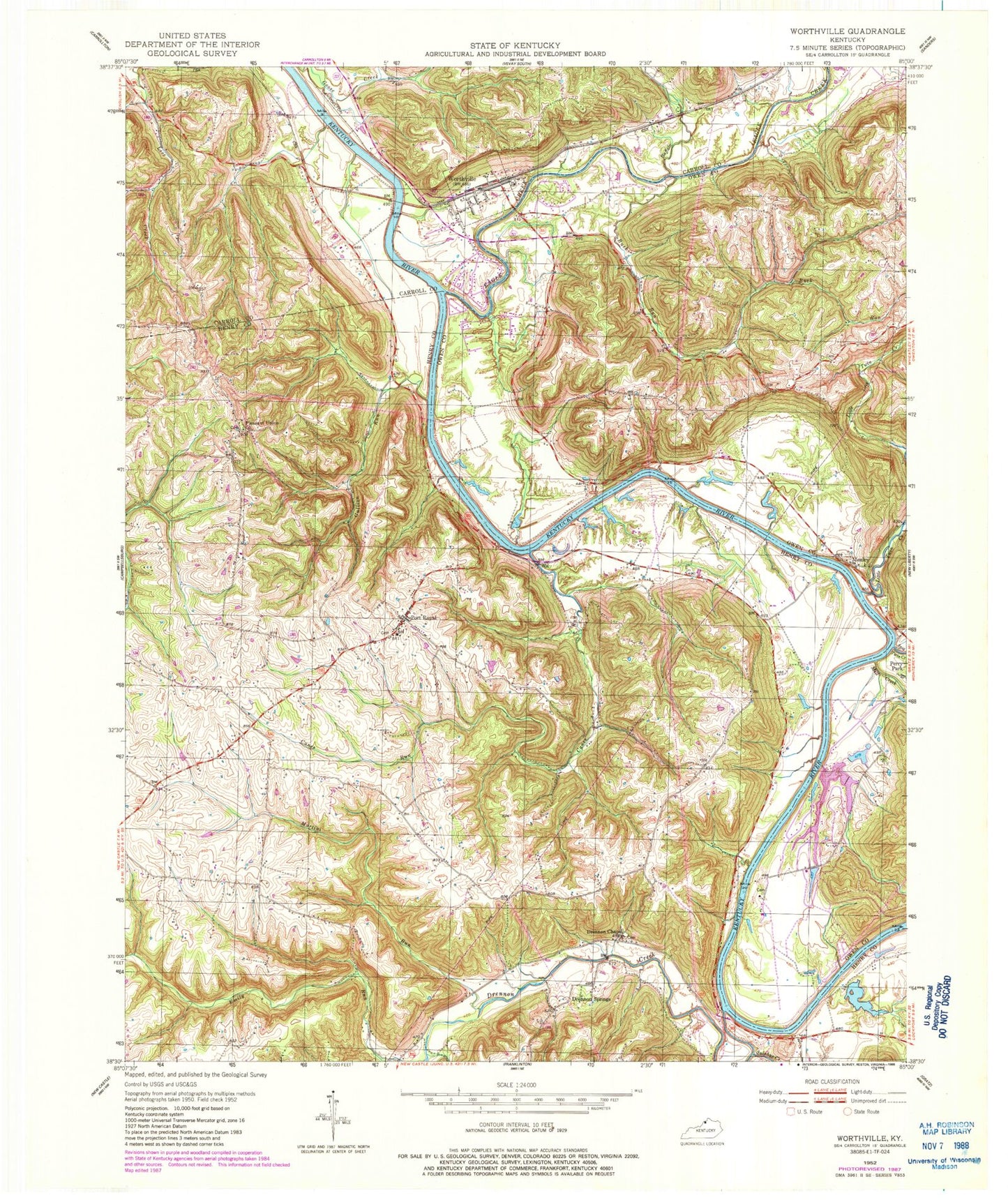
Classic USGS Worthville Kentucky 7.5'x7.5' Topo Map
Couldn't load pickup availability
Historical USGS topographic quad map of Worthville in the state of Kentucky. Map scale may vary for some years, but is generally around 1:24,000. Print size is approximately 24" x 27"
This quadrangle is in the following counties: Carroll, Henry, Owen.
The map contains contour lines, roads, rivers, towns, and lakes. Printed on high-quality waterproof paper with UV fade-resistant inks, and shipped rolled.
Contains the following named places: Abbotts Landing, Avery Post Office, Balls Landing, Big Twin Creek, Bishops Branch, Boulwares Landing, Buck Run, Buffalo Creek, Camp Creek, Campbellsburg Fire Department, Canes Run, City of Worthville, Cleveland, Drennon Chapel, Drennon Creek, Drennon Landing, Drennon Post Office, Drennon Springs, Drennon Springs Post Office, Eagle Creek, Emily Run, Fairway Golf Course, Gaines Ferry, Glenmary Post Office, Glenwood Hall Resort Airport, Greenhill School, Gullion Creek, Horseshoe Bend, Inverness Landing, Lanes Landing, Lanes Landing Post Office, Little Twin Creek, Marion and Simpsons Ferry, Marion Ferry, Marions Landing, Martini Run, Mill Creek, Mole Hole Landing, Moxley, Moxley Post Office, Perrys Landing, Pleasant Union, Pleasant Union Church, Pleasant Union Methodist Church Cemetery, Pollards Landing, Port Royal, Port Royal Post Office, School Number Fifty-Eight, School Number Three, Springport Ferry, Springport Post Office, Sulphur Creek, Vance Cemetery, Vance Post Office, Western Military Institute, White Sulphur Spring, Worthville, Worthville Masonic Cemetery, Worthville Post Office, Worthville Railroad Station, Worthville Volunteer Fire Department, ZIP Codes: 40075, 40363, 41098