MyTopo
Classic USGS Wrather Arch Arizona 7.5'x7.5' Topo Map
Regular price
$16.95
Regular price
Sale price
$16.95
Unit price
per
Couldn't load pickup availability
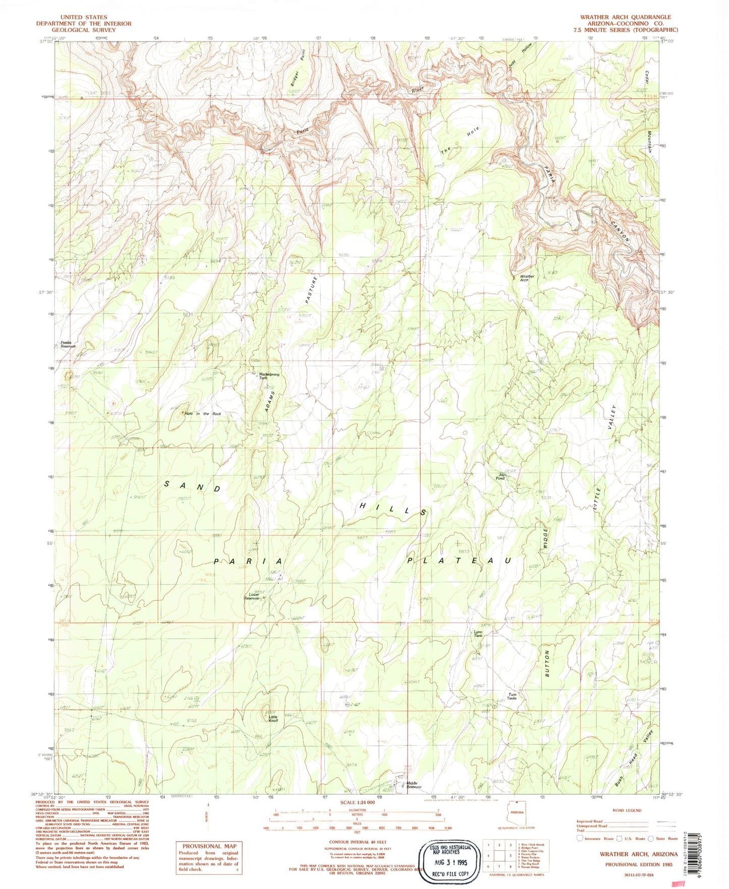
Historical USGS topographic quad map of Wrather Arch in the state of Arizona. Typical map scale is 1:24,000, but may vary for certain years, if available. Print size: 24" x 27"
This quadrangle is in the following counties: Coconino.
The map contains contour lines, roads, rivers, towns, and lakes. Printed on high-quality waterproof paper with UV fade-resistant inks, and shipped rolled.
Contains the following named places: Hole in the Rock, Judd Hollow, Lower Reservoir, Middle Reservoir, The Hole, Wrather Arch, Little Knoll, Lynn Tank, Soap Creek Number One Tank, Paria Canyon-Vermilion Cliffs Wilderness