MyTopo
Classic USGS Wreford Kansas 7.5'x7.5' Topo Map
Couldn't load pickup availability
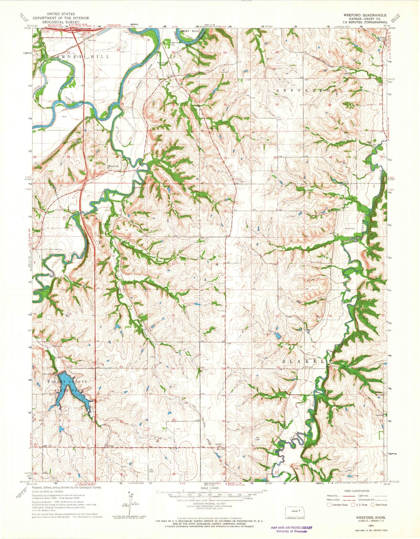
Historical USGS topographic quad map of Wreford in the state of Kansas. Map scale may vary for some years, but is generally around 1:24,000. Print size is approximately 24" x 27"
This quadrangle is in the following counties: Geary.
The map contains contour lines, roads, rivers, towns, and lakes. Printed on high-quality waterproof paper with UV fade-resistant inks, and shipped rolled.
Contains the following named places: Davis Creek, Geary County Rural Fire Department Station 2, Geary County Rural Fire Department Station 5, Geary County State Lake, Geary County State Lake Dam, Geary County State Park, Geary State Fishing Lake and Wildlife Area, Goose Creek, Junction City - Southwest Wastewater Plant, KBLS - FM (Manhattan), Logan Grove Park, Lyon Creek, Montgomery, Otter Creek, Saint Paul Lutheran Church, Salchow Cemetery, Skiddy Cemetery, Township of Blakely, Township of Lyon, Wetzel Cemetery, Wreford, ZIP Code: 66441