MyTopo
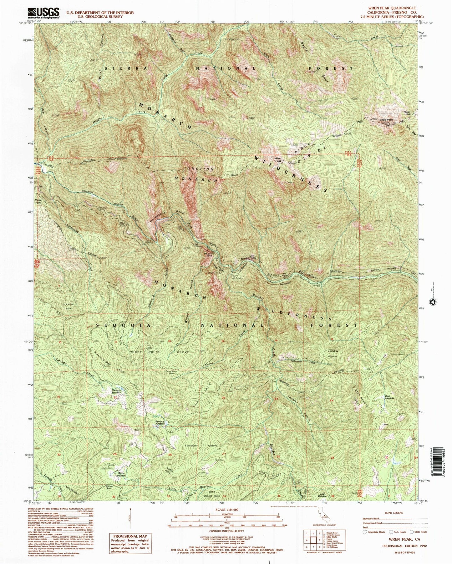
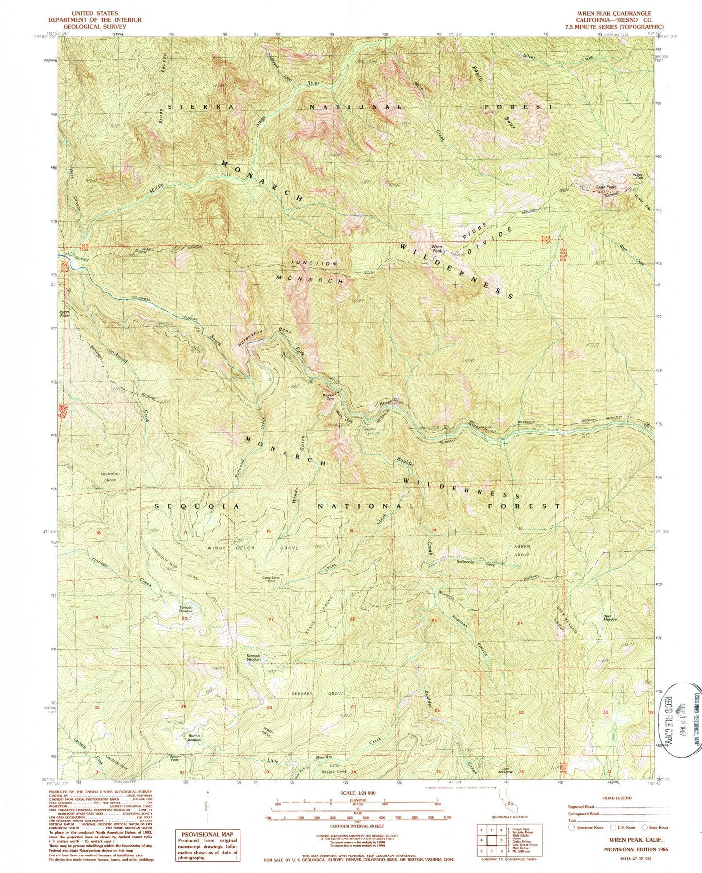
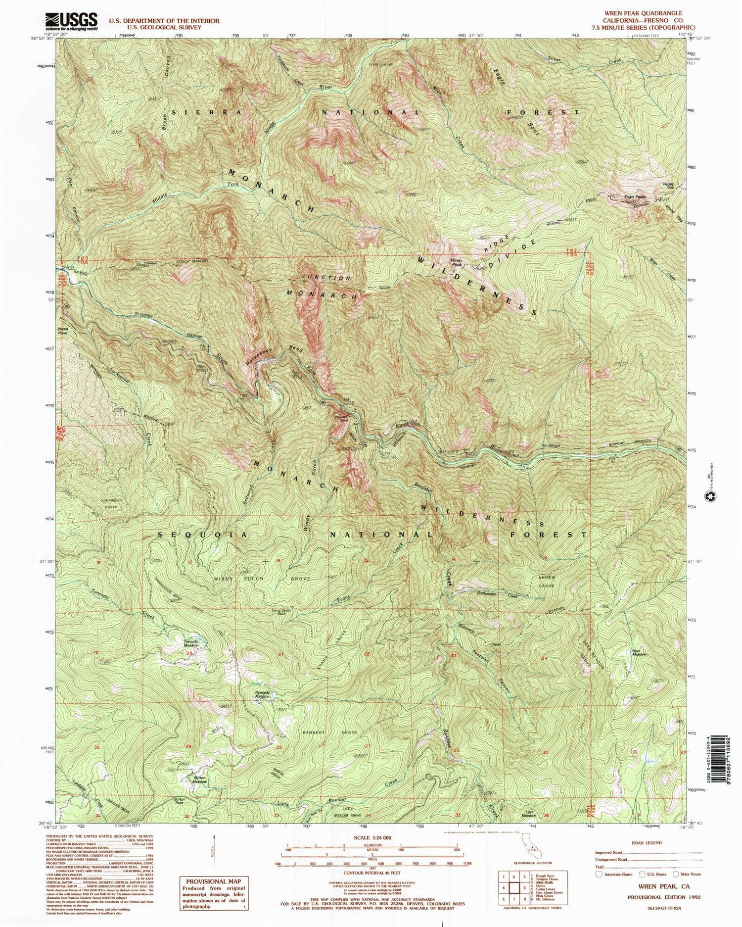
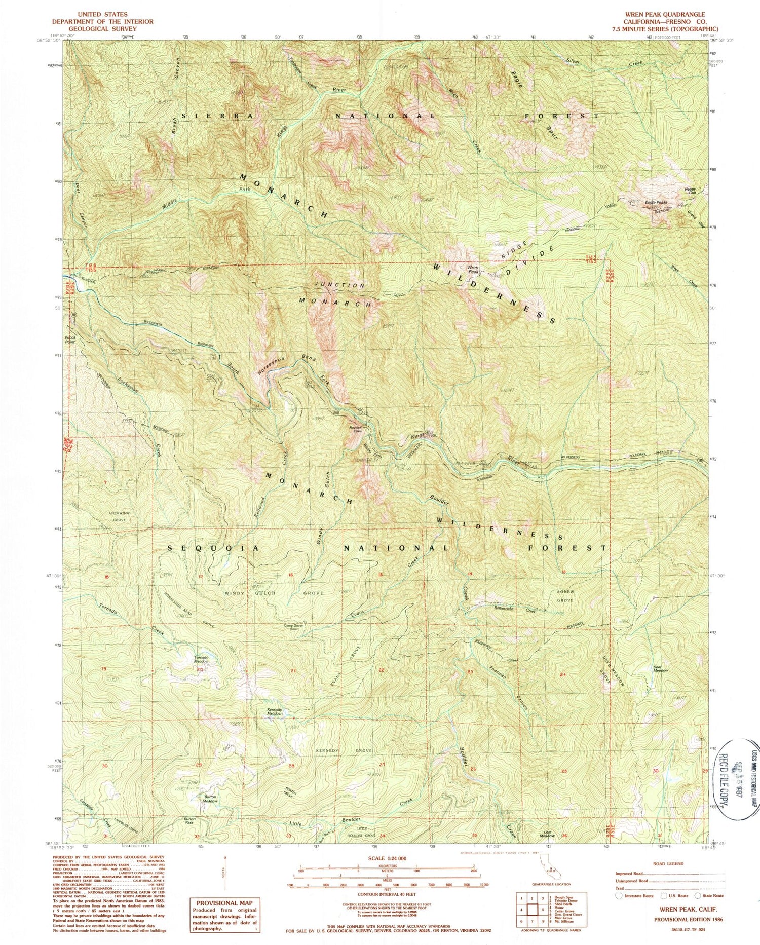
Classic USGS Wren Peak California 7.5'x7.5' Topo Map
Couldn't load pickup availability
Historical USGS topographic quad map of Wren Peak in the state of California. Typical map scale is 1:24,000, but may vary for certain years, if available. Print size: 24" x 27"
This quadrangle is in the following counties: Fresno.
The map contains contour lines, roads, rivers, towns, and lakes. Printed on high-quality waterproof paper with UV fade-resistant inks, and shipped rolled.
Contains the following named places: Agnew Grove, Brush Canyon, Buck Rock Creek, Burton Grove, Burton Meadow, Burton Pass, Camp Seven, Deer Meadow, Deer Meadow Grove, Eagle Spur, Evans Creek, Evans Grove, Footman Canyon, Happy Gap, Horseshoe Bend, Horseshoe Bend Grove, Junction Ridge, Kennedy Grove, Kennedy Meadow, Landslide Grove, Little Boulder Creek, Lockwood Creek, Lockwood Grove, Lost Meadow, Rattlesnake Creek, Redwood Creek, Boulder Creek, Deer Canyon, Tornado Meadow, Windy Cliffs, Windy Gulch, Windy Gulch Grove, Wren Creek, Wren Peak, Yucca Point, Tombstone Creek, Grand Dike, Monarch Wilderness


