MyTopo
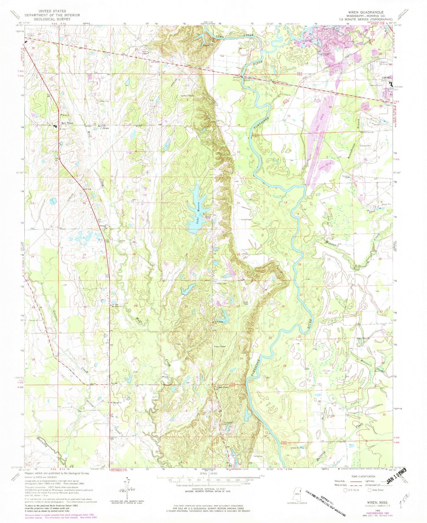
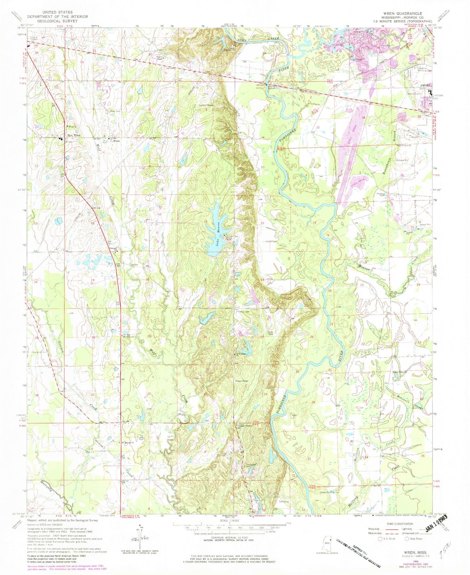
Classic USGS Wren Mississippi 7.5'x7.5' Topo Map
Couldn't load pickup availability
Historical USGS topographic quad map of Wren in the state of Mississippi. Map scale may vary for some years, but is generally around 1:24,000. Print size is approximately 24" x 27"
This quadrangle is in the following counties: Monroe.
The map contains contour lines, roads, rivers, towns, and lakes. Printed on high-quality waterproof paper with UV fade-resistant inks, and shipped rolled.
Contains the following named places: A G Doss Lake Dam, Acker Lake Cutoff, Acker Lake Recreation Area, Amory Lagoon Dam, Amory West Elementary School, Becker Bottoms Access Area, Becker Cutoff, Bell Mission, Bells Ferry, Bransford Cemetery, Bristo, Camp Wrenwoods, Charity Hall, Colberts Hill, Coon Tail, Coontail Road Access Area, Cotton Gin Ferry, Cotton Gin Port, Cotton Hill Gin Estates, Cowpen Creek, Drummond Branch Cutoff, Fields Ferry, Grace Baptist Chapel, Gradys Chapel United Methodist Church, Greenbrier Branch, H R Broadhead Pond Dam, Halfway Creek Access Area, Haughton Memorial Park, James Jenkins Lake Dam, John T Smallwood Pond Dam, Lake Martha, Lake Martha Dam, Lake Monroe, Lake Monroe Dam, Lawrence, League Chapel, Lou Anna S Paine Pond Dam, Lusbys Ferry, Moccasin Creek, Moccasin Slough, Mound Cemetery, Mount Moriah Missionary Baptist Church, Mount Olive Missionary Baptist Church, New Hope Cemetery, New Hope Christian Church, New Point Church, New Wren, North Mississippi Worship Center, Old French Fort, Presbyterian Lake Dam, Roundhouse Branch, Roundhouse Branch Cutoff, Supervisor District 5, Thompson Cemetery, Thompson Memorial Methodist Church, Town Creek, Tranquil, Tranquil United Methodist Church, Waltons Ferry, Weaver Creek, Weaver Creek Cutoff, WHAY-FM (Aberdeen), Wren, Wren Cemetery, Wren Church of Christ, Wren Community Center and Library, Wren Consolidated School, Wren Presbyterian Church, Wren Volunteer Fire Department Station 1


