MyTopo
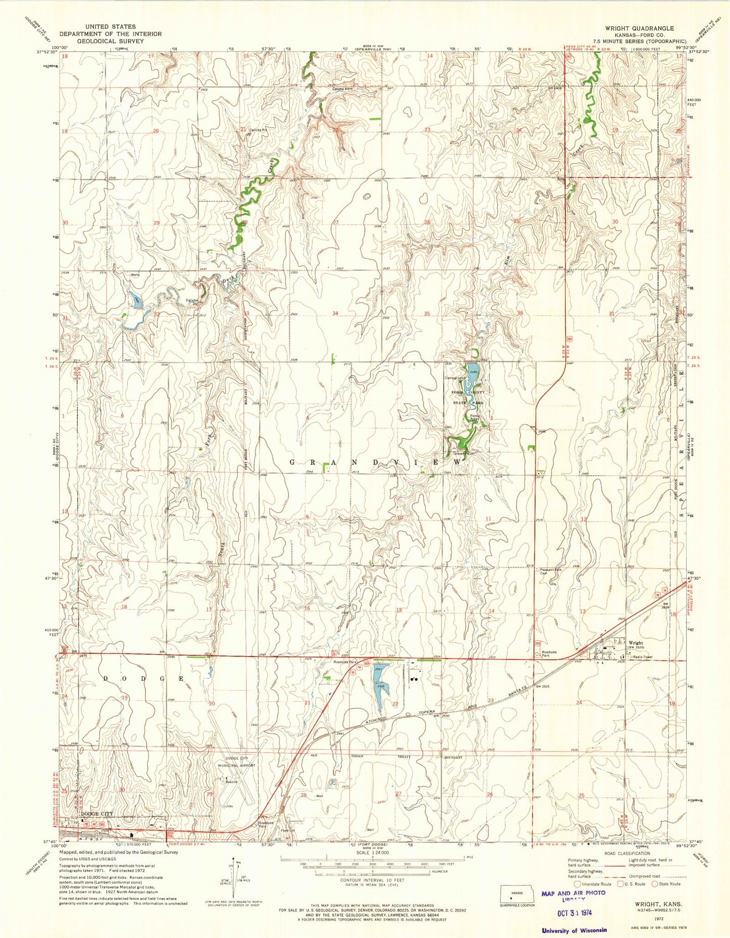
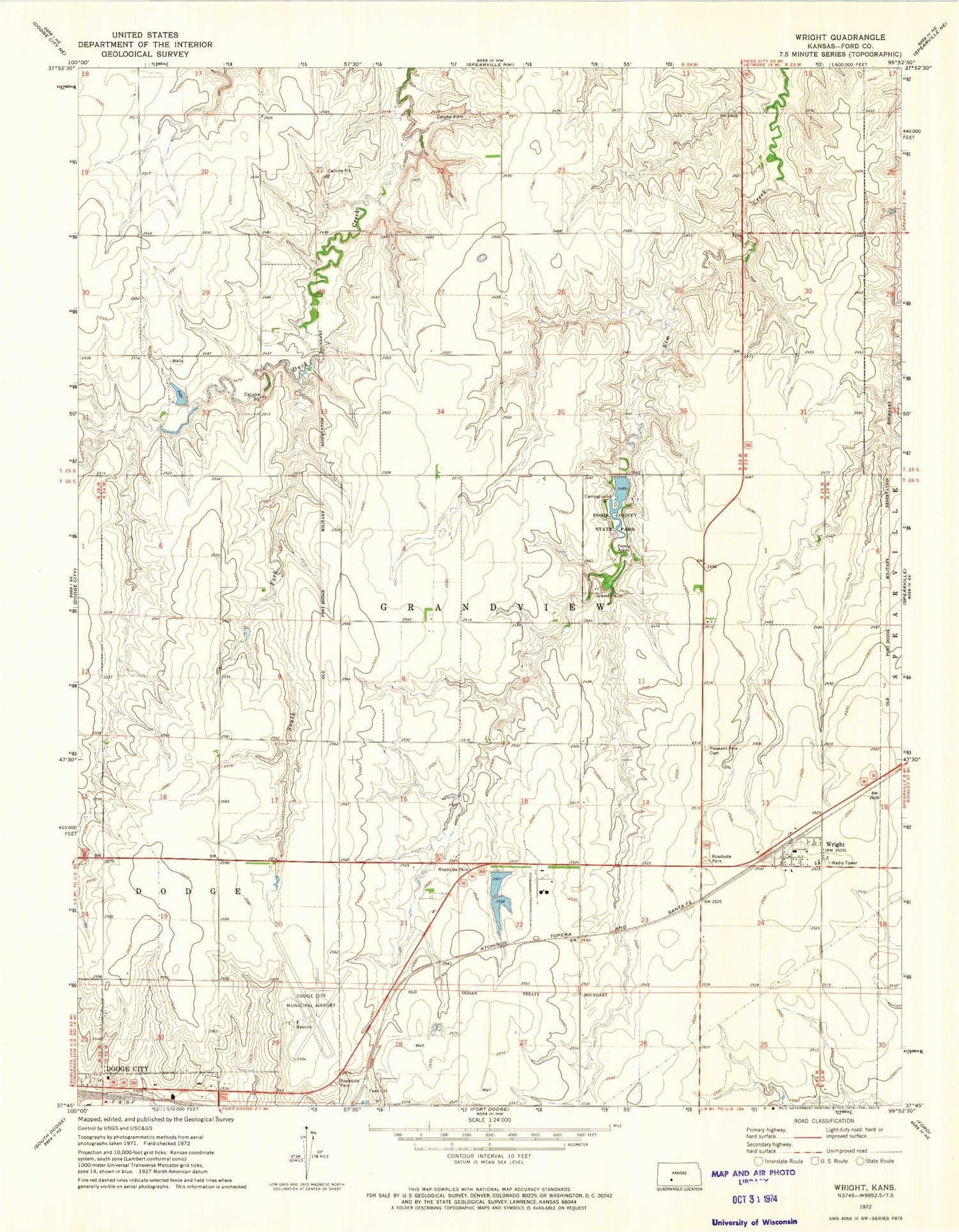
Classic USGS Wright Kansas 7.5'x7.5' Topo Map
Couldn't load pickup availability
Historical USGS topographic quad map of Wright in the state of Kansas. Map scale may vary for some years, but is generally around 1:24,000. Print size is approximately 24" x 27"
This quadrangle is in the following counties: Ford.
The map contains contour lines, roads, rivers, towns, and lakes. Printed on high-quality waterproof paper with UV fade-resistant inks, and shipped rolled.
Contains the following named places: Dodge City Airport Fire Department, Dodge City Regional Airport, Ford County Dam, Ford County Fire Department Station 8, Ford County Fire Station and Emergency Medical Services Station Airport, Ford County Jail, Ford County Jail and Sheriff's Office, Ford County Lake, Ford County Road and Bridge Department, Ford County Sheriff's Office, Ford County State Park, Grain Products Company Grain Elevator Number 1, Pleasant Vale Cemetery, Right Co - Operative Association Grain Elevator Number 1, Saint Andrew's Catholic Church, Saint Andrews Cemetery, South Fork Duck Creek, Township of Grandview, Wright, Wright Census Designated Place, Wright Elementary School, Wright Post Office, ZIP Code: 67882