MyTopo
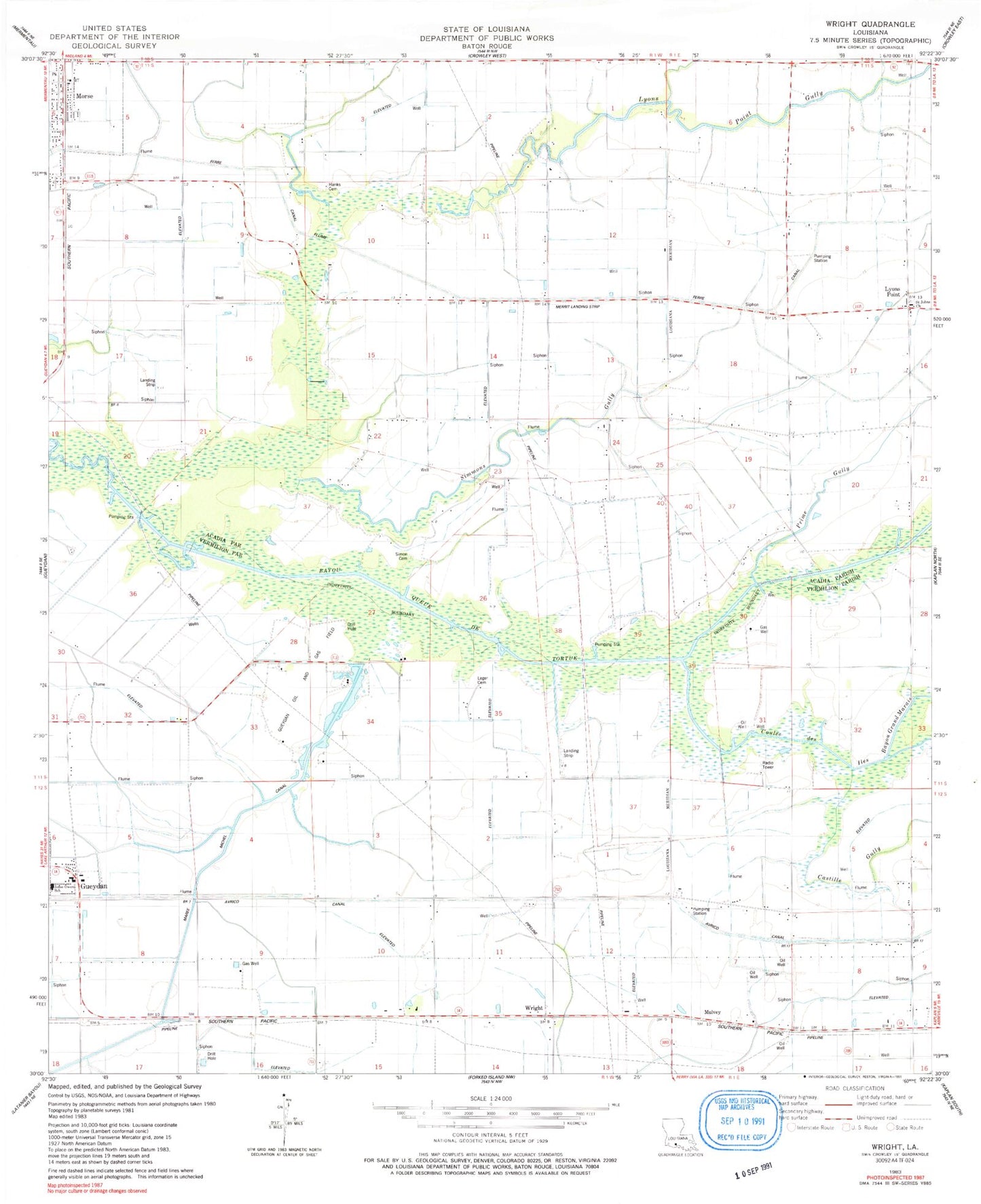
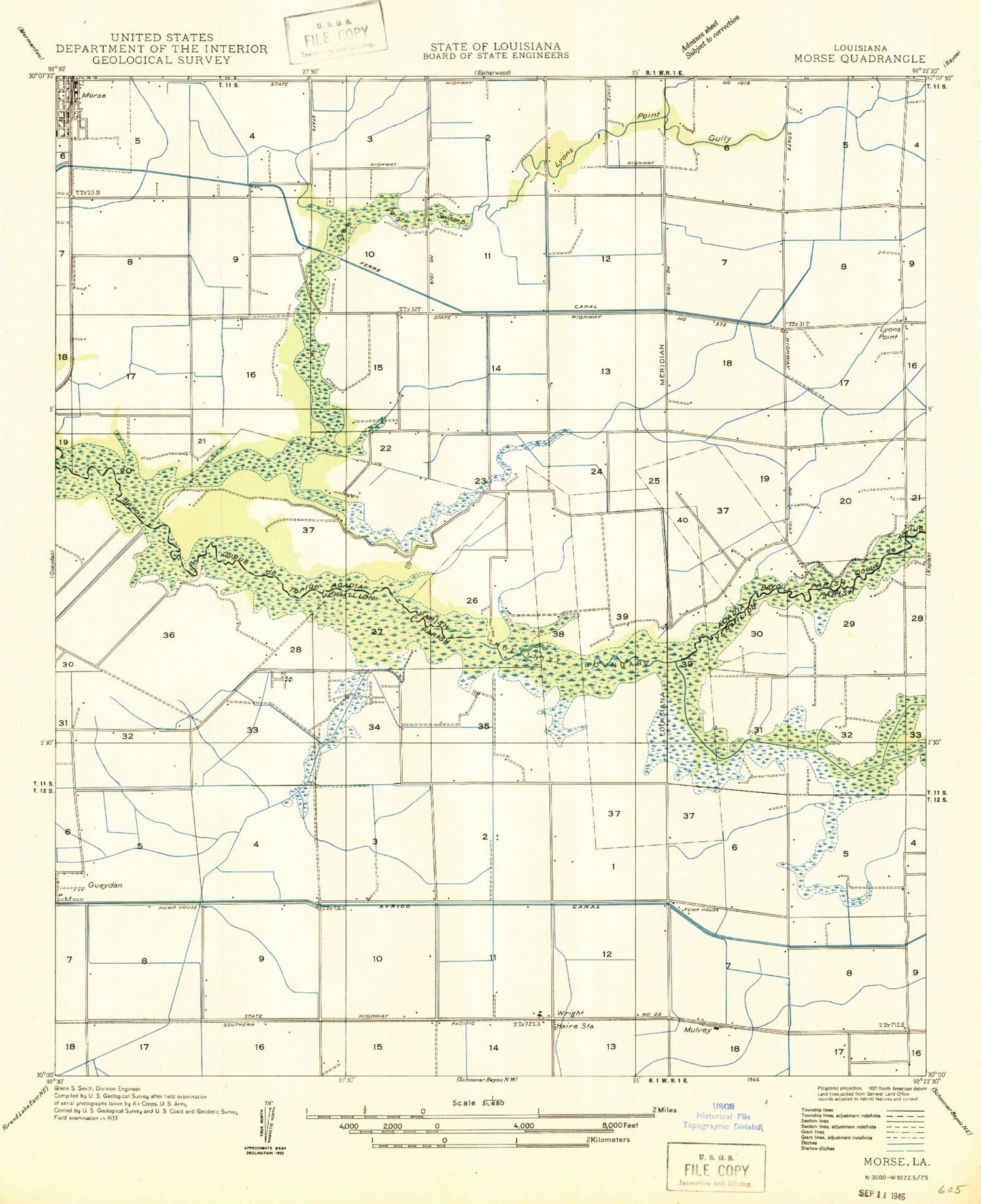
Classic USGS Wright Louisiana 7.5'x7.5' Topo Map
Couldn't load pickup availability
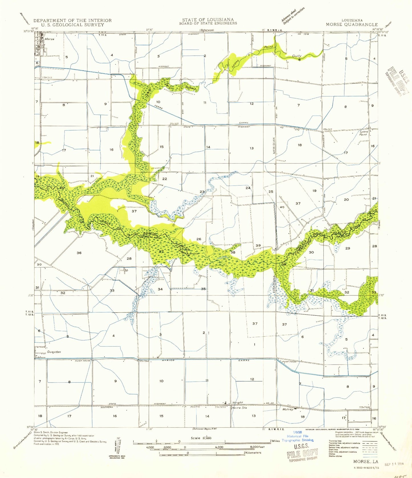
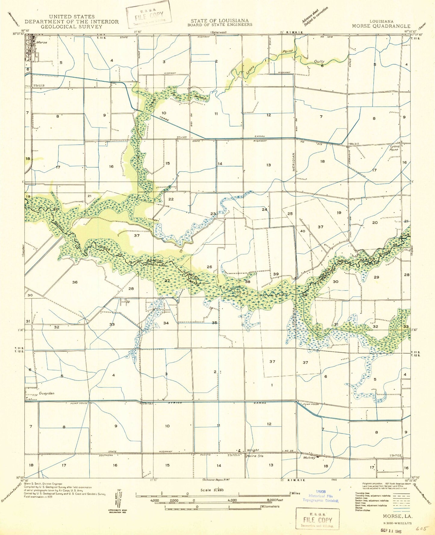
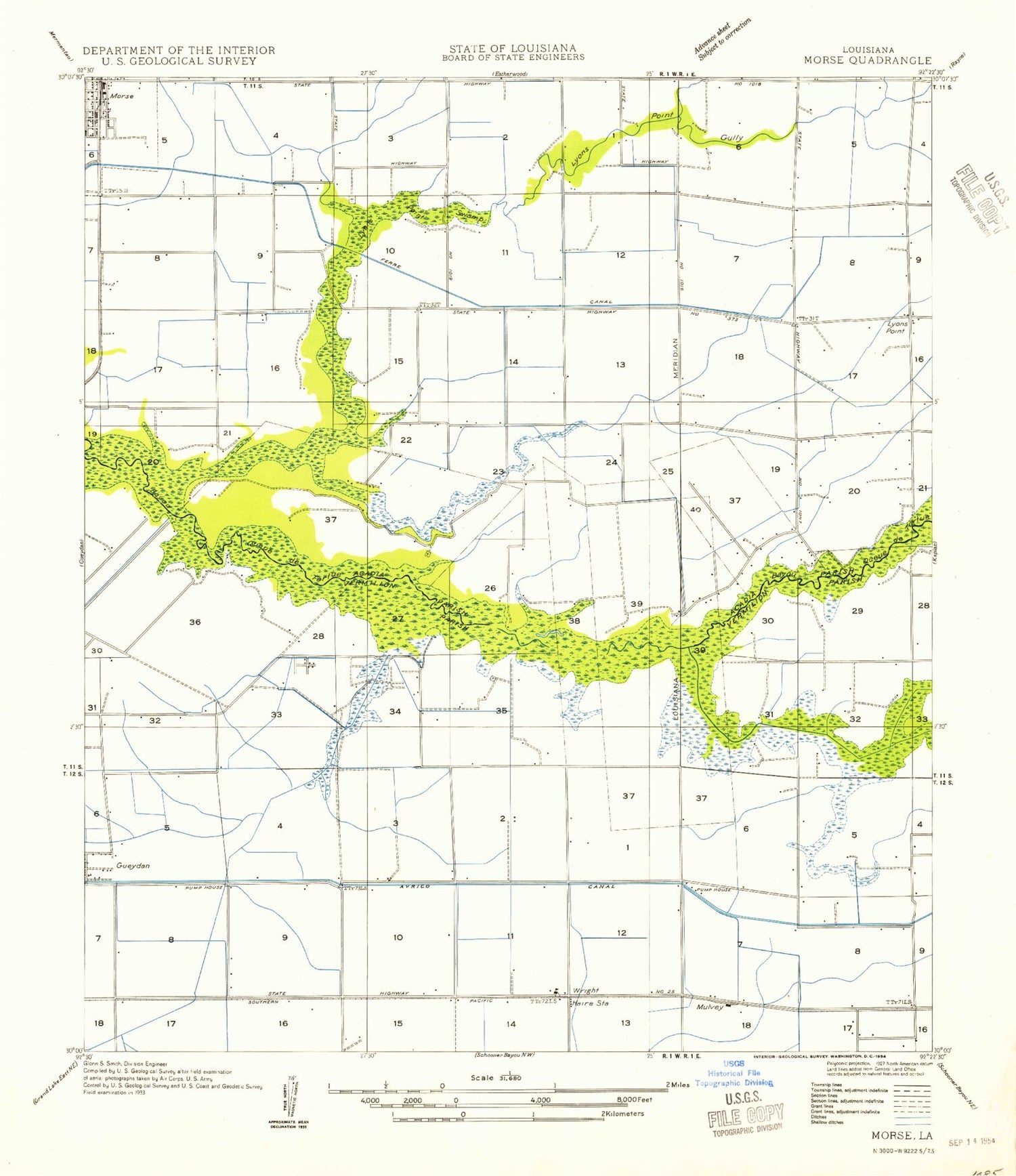
Historical USGS topographic quad map of Wright in the state of Louisiana. Map scale may vary for some years, but is generally around 1:24,000. Print size is approximately 24" x 27"
This quadrangle is in the following counties: Acadia, Vermilion.
The map contains contour lines, roads, rivers, towns, and lakes. Printed on high-quality waterproof paper with UV fade-resistant inks, and shipped rolled.
Contains the following named places: Acadia Parish Library Morse Branch, Avrico Canal, Bayou Grand Marais, Castille Gully, Coulee Des Iles, East Gueydan Oil and Gas Field, Ferre Canal, Gueydan Oil and Gas Field, Jesse Owens Elementary School, Johnson Hanks Cemetery, Le Blanc School, Leger Cemetery, Lyons Point, Lyons Point Gully, Lyons Point School, Maree Michel Canal, Merrit Landing Strip, Morse, Morse Post Office, Mulvey, Prime Gully, Saint Johns Church, Simmons Gully, Simon Cemetery, Sixteenth Section School, Village of Morse, Wright, Wright Oil and Gas Field, Wright Post Office