MyTopo
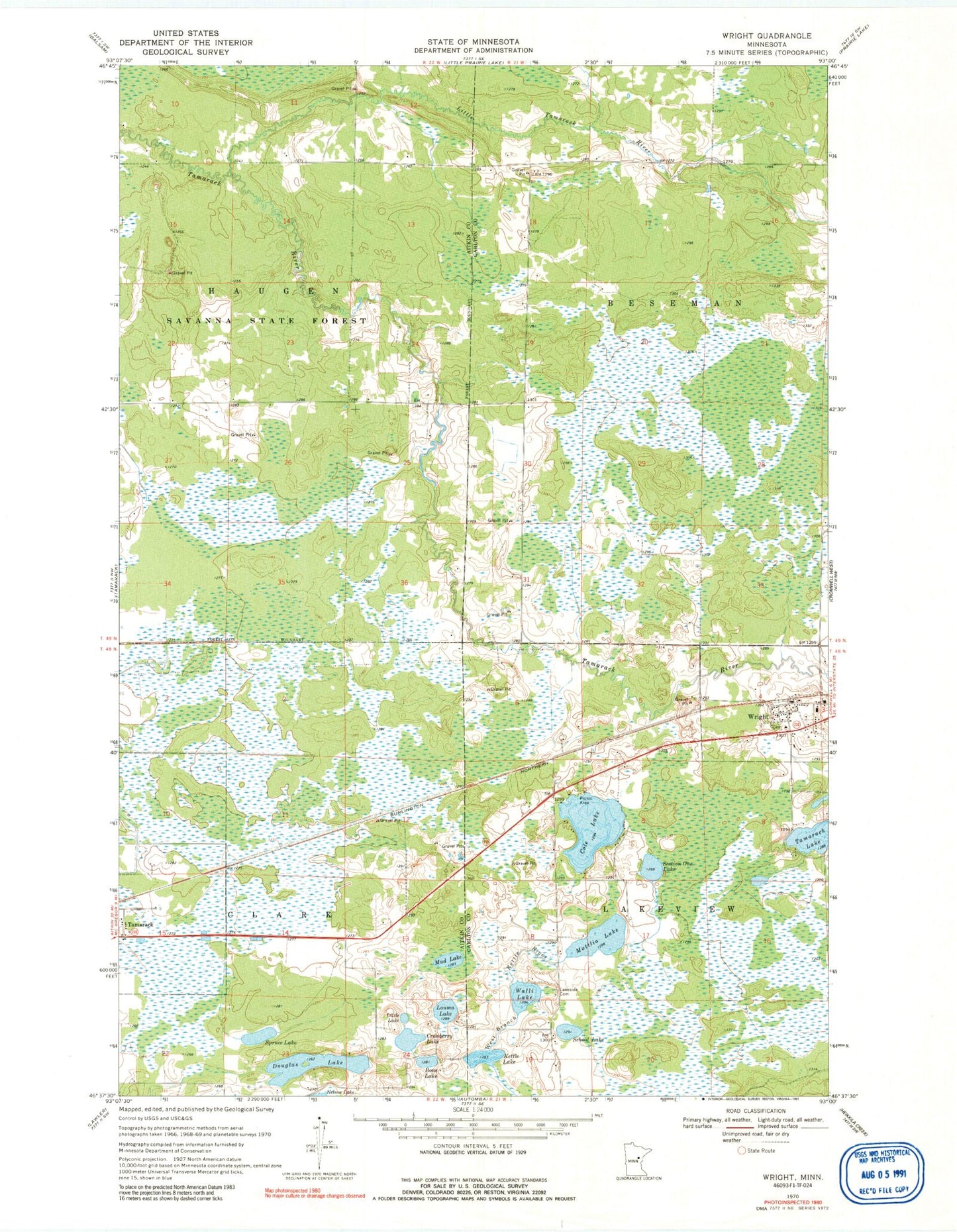
Classic USGS Wright Minnesota 7.5'x7.5' Topo Map
Couldn't load pickup availability
Historical USGS topographic quad map of Wright in the state of Minnesota. Map scale may vary for some years, but is generally around 1:24,000. Print size is approximately 24" x 27"
This quadrangle is in the following counties: Aitkin, Carlton.
The map contains contour lines, roads, rivers, towns, and lakes. Printed on high-quality waterproof paper with UV fade-resistant inks, and shipped rolled.
Contains the following named places: Bone Lake, City of Tamarack, City of Wright, Cole Lake, Cranberry Lake, Douglas Lake, Kettle Lake, Lakeside Cemetery, Lakeview Cemetery, Little Lake, Little Tamarack River, Louma Lake, Mattlia Lake, Mud Lake, School Lake, Section One Lake, Spruce Lake, Township of Beseman, Township of Lakeview, Walli Lake, Wright, Wright Catholic Cemetery, Wright Community Cemetery, Wright Post Office, Wright Volunteer Fire Department, ZIP Code: 55787