MyTopo
Classic USGS Wrights Ridge California 7.5'x7.5' Topo Map
Couldn't load pickup availability
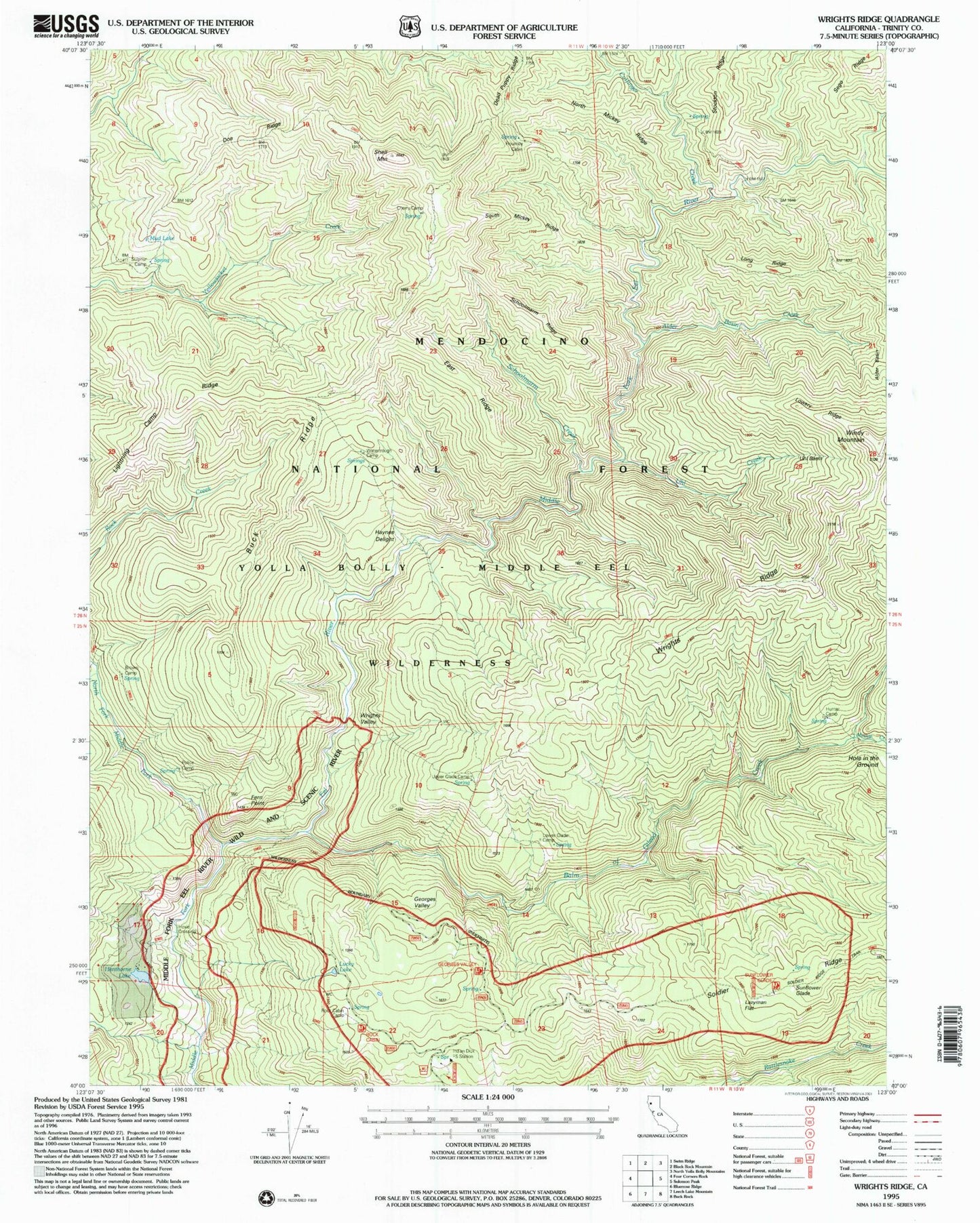
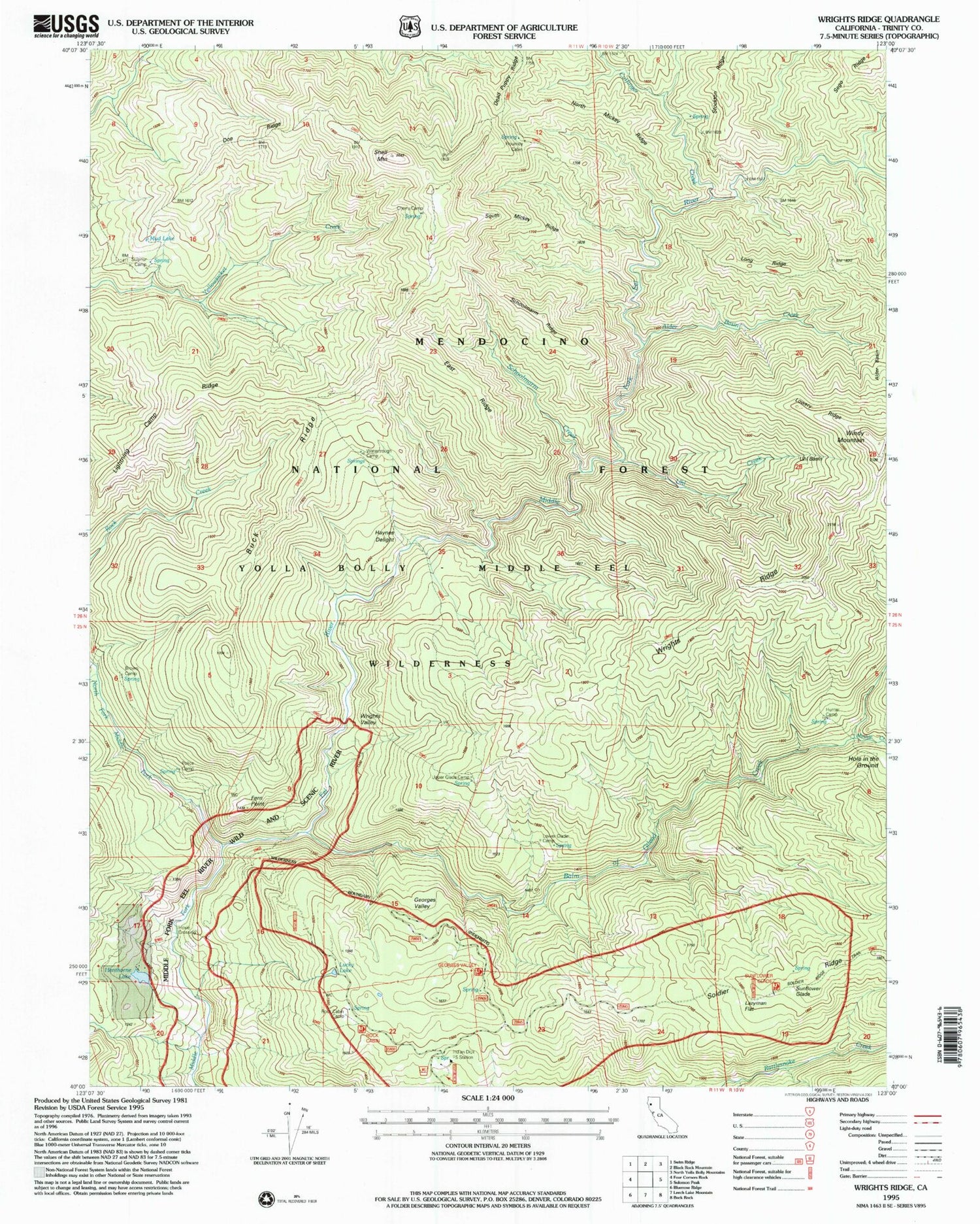
Historical USGS topographic quad map of Wrights Ridge in the state of California. Typical map scale is 1:24,000, but may vary for certain years, if available. Print size: 24" x 27"
This quadrangle is in the following counties: Trinity.
The map contains contour lines, roads, rivers, towns, and lakes. Printed on high-quality waterproof paper with UV fade-resistant inks, and shipped rolled.
Contains the following named places: Alder Basin, Alder Basin Creek, Brown Camp, Buck Ridge, Cherry Camp, Cutfinger Creek, Doe Ridge, East Ridge, Fern Point, Flournoy Cabin, Georges Valley, Haynes Delight, Henthorne Lake, Hunter Camp, Lazyman Flat, Lightning Camp Ridge, Long Ridge, Lower Glade Camp, Lowery Ridge, Lucky Lake, Minnie Creek, Mud Lake, North Mickey Ridge, Police Camp, Rock Cabin Camp, Saddle Camp, Schoolmarm Creek, Schoolmarm Ridge, Sego Ridge, Shell Mountain, North Fork Middle Fork Eel River, South Mickey Ridge, Sulphur Camp, Sunflower Glade, Uhl Basin, Uhl Creek, Upper Glade Camp, Watertrough Camp, Windy Mountain, Wrights Ridge, Wrights Valley, Fern Point Bridge, Hole in the Ground, Balm of Gilead Creek, Doe Ridge Trail, Saddle Camp, Buck Ridge Trail, Wrights Valley Trail, Upper Glade Camp, Georges Valley Parking, Hunter Camp, Haynes Delight Trail, Soldier Ridge Parking, Soldier Ridge Trailhead, Sunflower Glade Trailhead, Indian Dick Forest Service Station, Wrights Ridge Trail, Georges Valley Trailhead, Rock Cabin Trailhead, Rock Cabin Parking, Rock Cabin Trail, Police Camp, Cutfinger Trail, Yolla Bolly-Middle Eel Wilderness, Yellowjacket Trail, Hoxie Crossing


