MyTopo
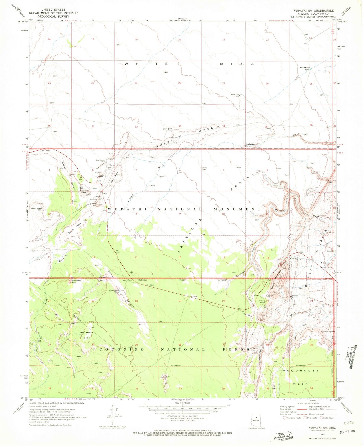
Classic USGS Wupatki SW Arizona 7.5'x7.5' Topo Map
Couldn't load pickup availability
Historical USGS topographic quad map of Wupatki SW in the state of Arizona. Map scale may vary for some years, but is generally around 1:24,000. Print size is approximately 24" x 27"
This quadrangle is in the following counties: Coconino.
The map contains contour lines, roads, rivers, towns, and lakes. Printed on high-quality waterproof paper with UV fade-resistant inks, and shipped rolled.
Contains the following named places: Antelope Prairie, Arrowhead Sink, Arrowhead Tank, Ball Court Wash, Bar Doney Tank, Box Canyon, Cedar Canyon, Citadel Sink, Doney Cliffs, Doney Mountain, East Mesa, Hulls Canyon, Hulls Wash, Magnetic Mesa, Mesa Well, Middle Mesa, North Mesa, Red House Basin, South Mesa, West Mesa, White Mesa, Wupatki National Monument, Wupatki Spring