MyTopo
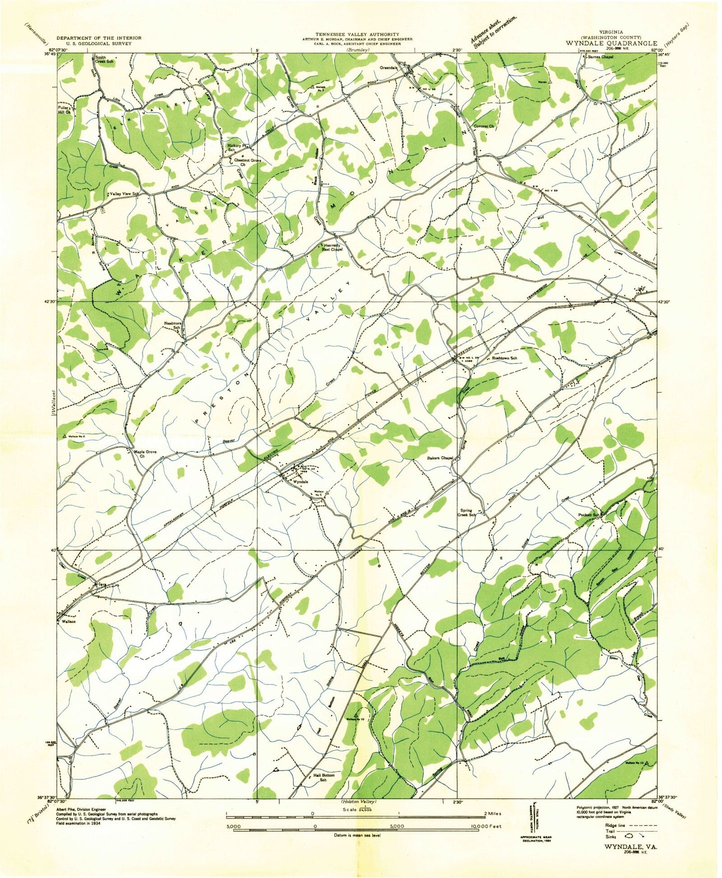
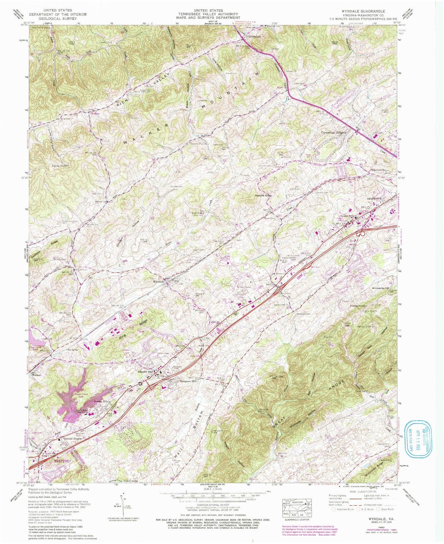
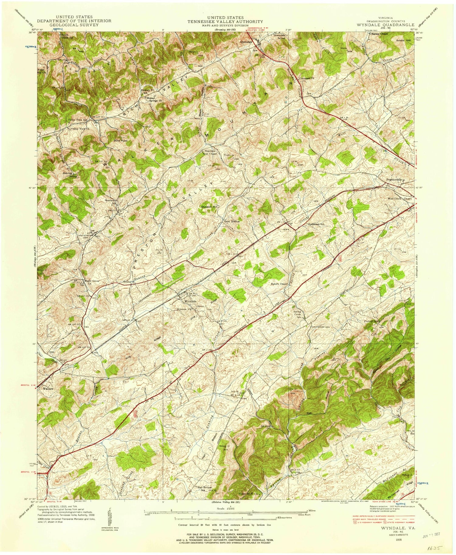
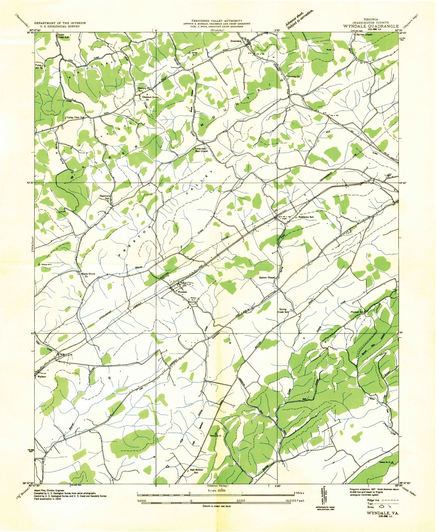
Classic USGS Wyndale Virginia 7.5'x7.5' Topo Map
Couldn't load pickup availability
Historical USGS topographic quad map of Wyndale in the state of Virginia. Map scale may vary for some years, but is generally around 1:24,000. Print size is approximately 24" x 27"
This quadrangle is in the following counties: Bristol (city), Washington.
The map contains contour lines, roads, rivers, towns, and lakes. Printed on high-quality waterproof paper with UV fade-resistant inks, and shipped rolled.
Contains the following named places: A Linwood Holton Governor's School, Abingdon Bible Church, Abingdon Elementary School, Andis Cemetery, Bakers Chapel, Barker Cemetery, Barnes Chapel, Beaver Creek Dam, Beaver Creek Reservoir, Big Spring, Black Hollow, Butts, Campbell Cemetery, Carvosso Church, Cedar Bluff Church, Childers Hollow, Clear Creek, Clear Creek Dam, Clear Creek Lake, Clyce Cemetery, Cole Hollow, Colonel Robert Preston Memorial Bridge, Colonial Heights, Countiss Ridge, Cummings Heights, Davis Cemetery, Denton Cemetery, Evergreen Hills, Faith Church, Fractionville, Fuller Hill Church, Garrett Cemetery, Gose Church, Green Valley Poultry Farm, Greendale, Hall Bottom, Hall Bottom School, Heavenly Rest Church, Heavnely Rest Church Cemetery, Henry Cemetery, Hickory Point School, Highland Chapel, Hilander Park, Hortenstine Cemetery, Hossan Heights, Ingersoll-Rand Bristol Heliport, John S Battle High School, King Ridge, Lick Branch, Little Creek, Long Cemetery, Maple Grove Church, McConnell Ridge, Minnick Cemetery, Moore Cemetery, Needmore School, Negro Hollow, Pippin Cemetery, Pope Cemetery, Preston Hills, Preston Spring, Puckett Cemetery, Puckett Knob, Puckett School, Ratcliff Cemetery, Ratcliff Knob, Roaring Spring, Roaring Spring Branch, Rogers Cemetery, Rush Cemetery, Rushtown School, Rust Cemetery, Rust Hollow, Rye Hollow, Saint John Cemetery, Shadow Valley, Shutters Cemetery, Sinking Creek, Smith Creek School, Southwest Virginia Higher Education Center, Spoon Gap Church, Spoon Gap Hollow, Spring Creek Church, Spring Creek School, Starke Cemetery, Stillhouse Hollow, Sutton Cemetery, Swartz Union Chapel, Tate Cemetery, Teeter Cemetery, Valley View Church, Valley View Church Cemetery, Valley View School, Virginia Highlands Airport, Virginia Highlands Community College, Virginia State Police Med-Flight II, Walnut Spring Church, Warren Cemetery, Washington County Fire and Rescue, Washington County Sheriff's Office, White Cemetery, Whiteaker Cemetery, Willoughby Hill, Wilson District, Withers, Wolf Creek Chapel, Wood Howell Church, Wyndale