MyTopo
Classic USGS Wynoochee Lake Washington 7.5'x7.5' Topo Map
Couldn't load pickup availability
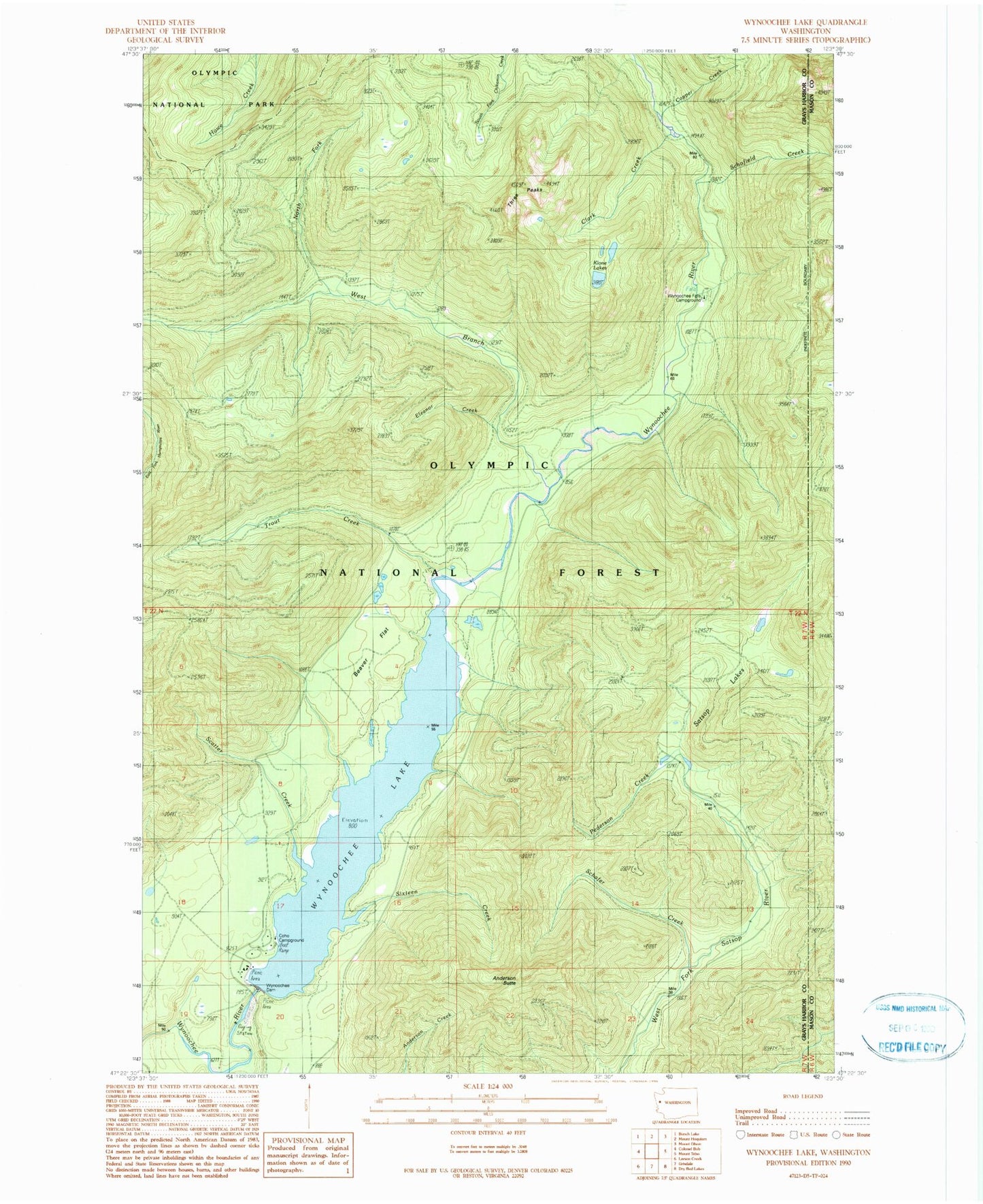
Historical USGS topographic quad map of Wynoochee Lake in the state of Washington. Map scale may vary for some years, but is generally around 1:24,000. Print size is approximately 24" x 27"
This quadrangle is in the following counties: Grays Harbor, Mason.
The map contains contour lines, roads, rivers, towns, and lakes. Printed on high-quality waterproof paper with UV fade-resistant inks, and shipped rolled.
Contains the following named places: Anderson Butte, Anderson Butte Lookout, Beaver Flat, Clark Creek, Coho Campground, Copper Creek, Eleanor Creek, Klone Lakes, North Fork West Branch Wynoochee River, Pederson Creek, Satsop Lakes, Scatter Creek, Schafer Creek, Schofield Creek, Sixteen Creek, Three Peaks, Trout Creek, West Branch Wynoochee River, Wynoochee Dam, Wynoochee Dam Visitor Center, Wynoochee Falls Campground, Wynoochee Lake, Wynoochee Shelter