MyTopo
Classic USGS Wynoochee Valley SW Washington 7.5'x7.5' Topo Map
Regular price
$16.95
Regular price
Sale price
$16.95
Unit price
per
Couldn't load pickup availability
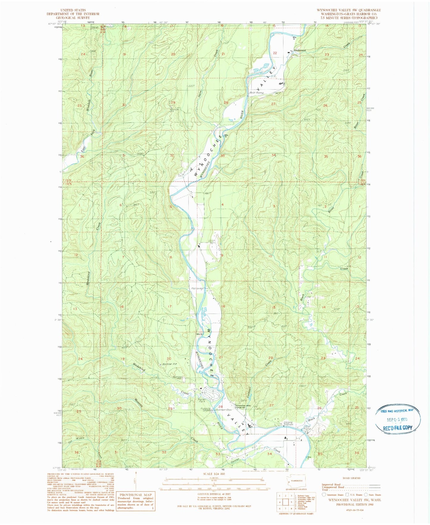
Historical USGS topographic quad map of Wynoochee Valley SW in the state of Washington. Map scale may vary for some years, but is generally around 1:24,000. Print size is approximately 24" x 27"
This quadrangle is in the following counties: Grays Harbor.
The map contains contour lines, roads, rivers, towns, and lakes. Printed on high-quality waterproof paper with UV fade-resistant inks, and shipped rolled.
Contains the following named places: Anderson Creek, Bitter Creek, Black Creek, Caldwell Creek, Evergreen Quarry, Grays Harbor Fire District 2 Wynoochee Station 33, Helm Creek, Mooney Creek, Wedekind Creek, Wynoochee Valley Grange