MyTopo
Classic USGS Wyola NE Montana 7.5'x7.5' Topo Map
Couldn't load pickup availability
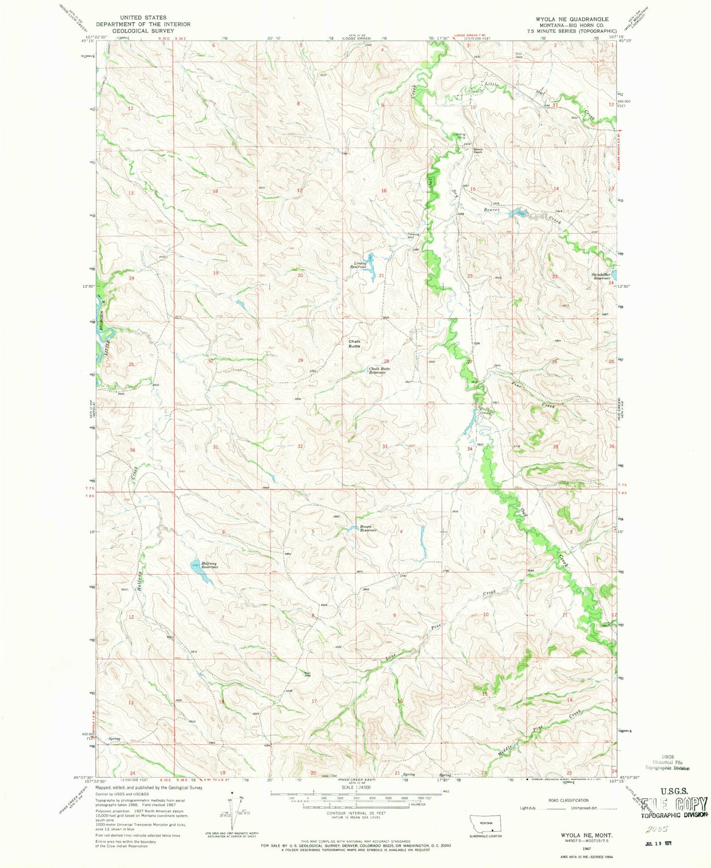
Historical USGS topographic quad map of Wyola NE in the state of Montana. Map scale may vary for some years, but is generally around 1:24,000. Print size is approximately 24" x 27"
This quadrangle is in the following counties: Big Horn.
The map contains contour lines, roads, rivers, towns, and lakes. Printed on high-quality waterproof paper with UV fade-resistant inks, and shipped rolled.
Contains the following named places: 07S35E36CBDB01 Well, Brown Ranch, Brown Reservoir, Brown School, Chalk Butte, Chalk Butte Reservoir, Crow Number 68 Dam, Dry Beaver Creek, H C Brown Number 1 Dam, Halfway Dam, Halfway Reservoir, Liming Reservoir, LIMING Reservoir Dam, Little Owl Creek, Lone Pine Creek, Pine Creek, Steinhelber Reservoir Dam, Steinhilber Reservoir