MyTopo
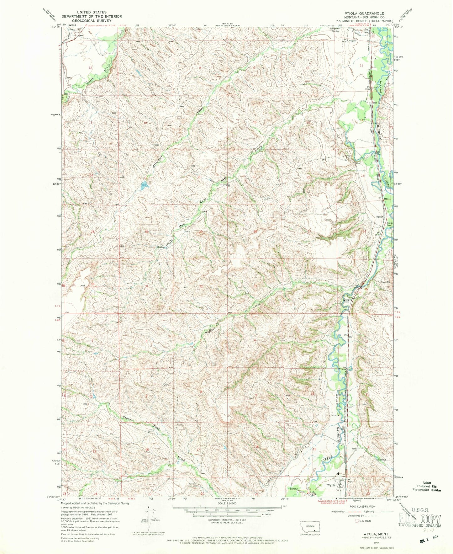
Classic USGS Wyola Montana 7.5'x7.5' Topo Map
Couldn't load pickup availability
Historical USGS topographic quad map of Wyola in the state of Montana. Map scale may vary for some years, but is generally around 1:24,000. Print size is approximately 24" x 27"
This quadrangle is in the following counties: Big Horn.
The map contains contour lines, roads, rivers, towns, and lakes. Printed on high-quality waterproof paper with UV fade-resistant inks, and shipped rolled.
Contains the following named places: 07S34E12ABBB01 Well, 07S34E12ABBB02 Well, 07S35E11ACAA01 Well, 07S35E11ACAA02 Well, 07S35E11ACAD01 Well, 07S35E11ADBA01 Well, 07S35E11DBCB01 Well, 07S35E11DCADO1 Well, 07S35E14ACC01_ Well, 07S35E23ABCC01 Well, 07S35E23BDDB01 Well, 07S35E26DAB_01 Well, 08S35E11BCAC01 Well, 08S35E14BCCB01 Well, 08S35E14BDBB01 Well, 08S35E15ACAA01 Well, 08S35E15DCDA01 Well, 08S35E15DDBD01 Well, Alligator Spring, Blessed Kateri Tekawitha Church, Buffalo Creek, Crow Number 69 Dam, Halfway Creek, Pass Creek, Sloan Ditch, Spear, White Man Runs Him Creek, Wyola, Wyola Baptist Church, Wyola Creek, Wyola Post Office, Wyola School