MyTopo
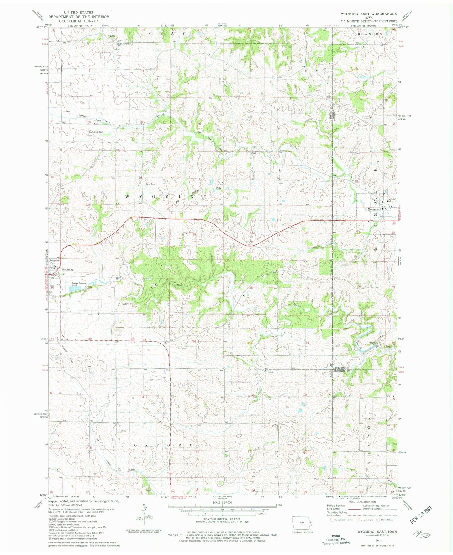
Classic USGS Wyoming East Iowa 7.5'x7.5' Topo Map
Couldn't load pickup availability
Historical USGS topographic quad map of Wyoming East in the state of Iowa. Map scale may vary for some years, but is generally around 1:24,000. Print size is approximately 24" x 27"
This quadrangle is in the following counties: Clinton, Jackson, Jones.
The map contains contour lines, roads, rivers, towns, and lakes. Printed on high-quality waterproof paper with UV fade-resistant inks, and shipped rolled.
Contains the following named places: Baldwin Monmouth First Responders, Bear Creek Cemetery, Cady Cemetery, City of Monmouth, Midland School, Monmouth, Monmouth Cemetery, Monmouth Post Office, Pierce Post Office, Pierre, South Mineral Cemetery, Township of Wyoming, Wyoming Fire Department, ZIP Code: 52362