MyTopo
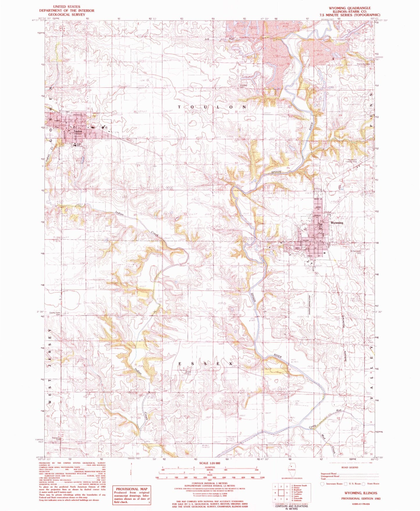
Classic USGS Wyoming Illinois 7.5'x7.5' Topo Map
Couldn't load pickup availability
Historical USGS topographic quad map of Wyoming in the state of Illinois. Map scale may vary for some years, but is generally around 1:24,000. Print size is approximately 24" x 27"
This quadrangle is in the following counties: Stark.
The map contains contour lines, roads, rivers, towns, and lakes. Printed on high-quality waterproof paper with UV fade-resistant inks, and shipped rolled.
Contains the following named places: Camp Run, City of Toulon, City of Wyoming, County Farm Cemetery, Cox School, Essex Grove School, Faith Baptist Church, First Baptist Church, First Congregational Church, First Congregational United Church of Christ, Hausmann Airport, Jug Run, Jug Run School, Locust Grove School, Mawbey Cemetery, Maxfield School, Mud Run, Ogle School, Pleasant Hill School, Saint Dominic Cemetery, Saint Dominic Church, Sheets Cemetery, Snareville Cemetery, Snareville School, Stark County, Stark County Ambulance Service, Stark County Ambulance Wyoming Station, Stark County Courthouse, Stark County High School, Stark County Jail, Stark County Junior High School, Stark County Sheriff's Office, Starwano Cemetery, Toulon, Toulon Cemetery, Toulon Fire Department, Toulon Post Office, Toulon Public Library, Toulon Public School, Toulon United Methodist Church, Toulon-Lafayette Grade School, Township of Essex, Township of Toulon, Webster Heliport, Winn School, Wyoming, Wyoming Airport, Wyoming Cemetery, Wyoming Community Fire Protection District, Wyoming First Baptist Church, Wyoming Grade School, Wyoming Methodist Church, Wyoming Post Office