MyTopo
Classic USGS Wyser Bottom Texas 7.5'x7.5' Topo Map
Couldn't load pickup availability
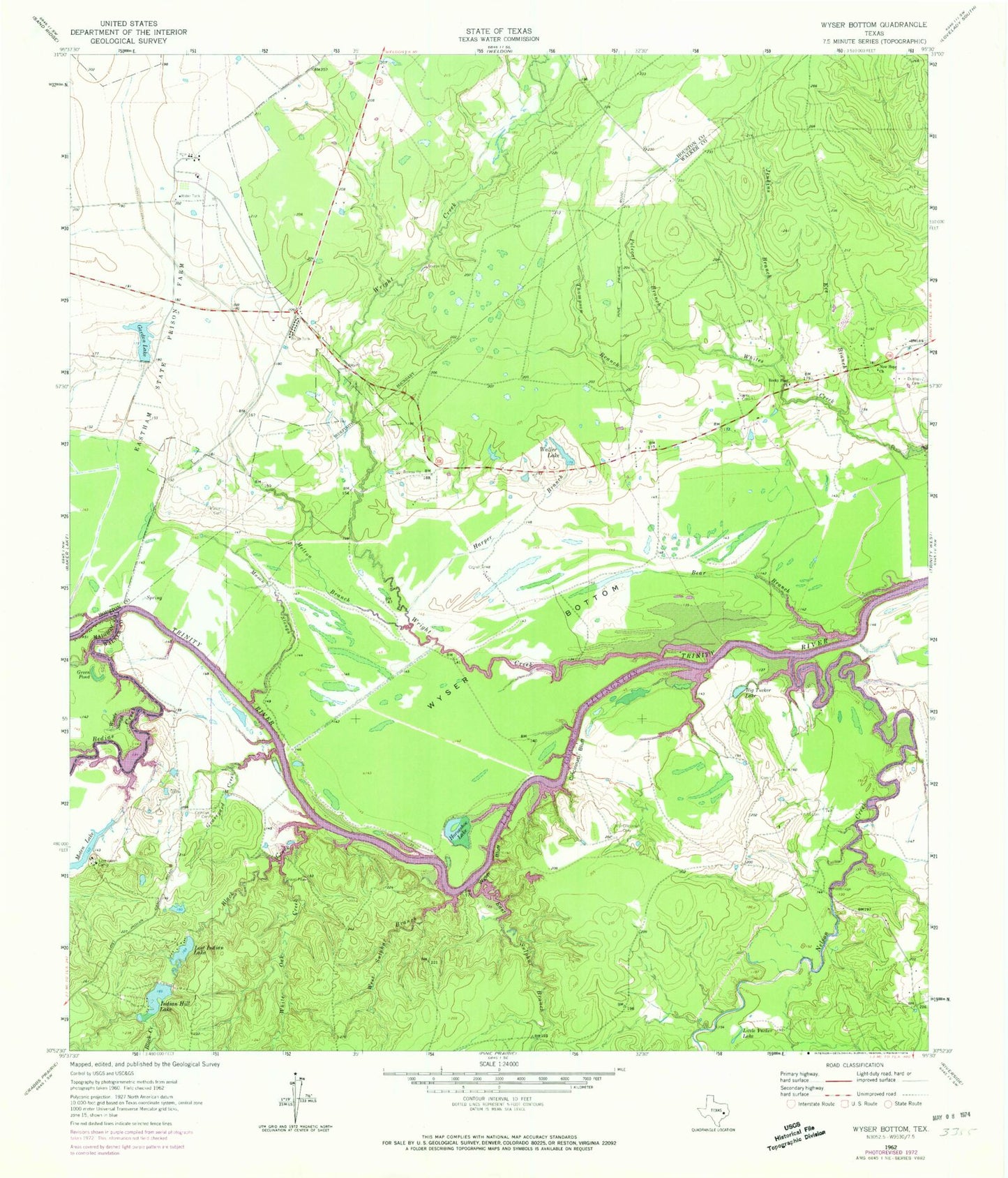
Historical USGS topographic quad map of Wyser Bottom in the state of Texas. Map scale may vary for some years, but is generally around 1:24,000. Print size is approximately 24" x 27"
This quadrangle is in the following counties: Houston, Madison, Walker.
The map contains contour lines, roads, rivers, towns, and lakes. Printed on high-quality waterproof paper with UV fade-resistant inks, and shipped rolled.
Contains the following named places: Bear Branch, Bedias Creek, Big Tucker Lake, Black Creek, Calhoun Cemetery, Calhoun Ferry, Cincinnati Bluff, Cincinnati Cemetery, Dunlap Cemetery, East Sulphur Branch, Eve Branch, Garden Lake, Garden Lake Dam, Graveyard Creek, Green Pond, Harper Branch, Horseshoe Lake, Indian Hill Lake, Indian Hill Lake Dam, Jenkins Branch, Little Tucker Lake, Lost Indian Camp, Lost Indian Lake, Lost Indian Lake Dam, Mason Cemetery, Mason Slough, Melton Branch, Moten Lake, Moten Lake Dam, Nelson Creek, New Hope Church, Old Plantation Cemetery, Polecat Branch, Rocky Ford Church, Spivey Cemetery, Thompson Branch, Waller Lake, West Sulphur Branch, White Oak Creek, Woods Slough, Wright Creek, Wyser Bluff, Wyser Bottom