MyTopo
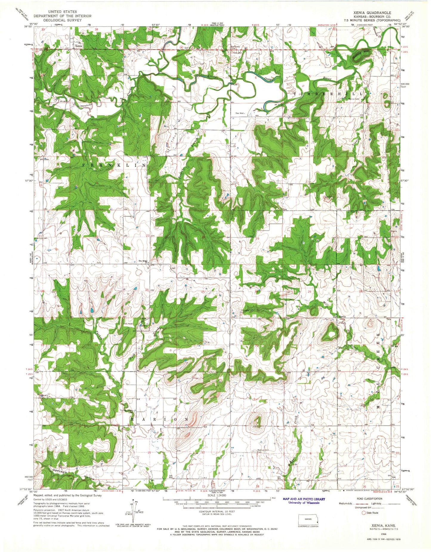
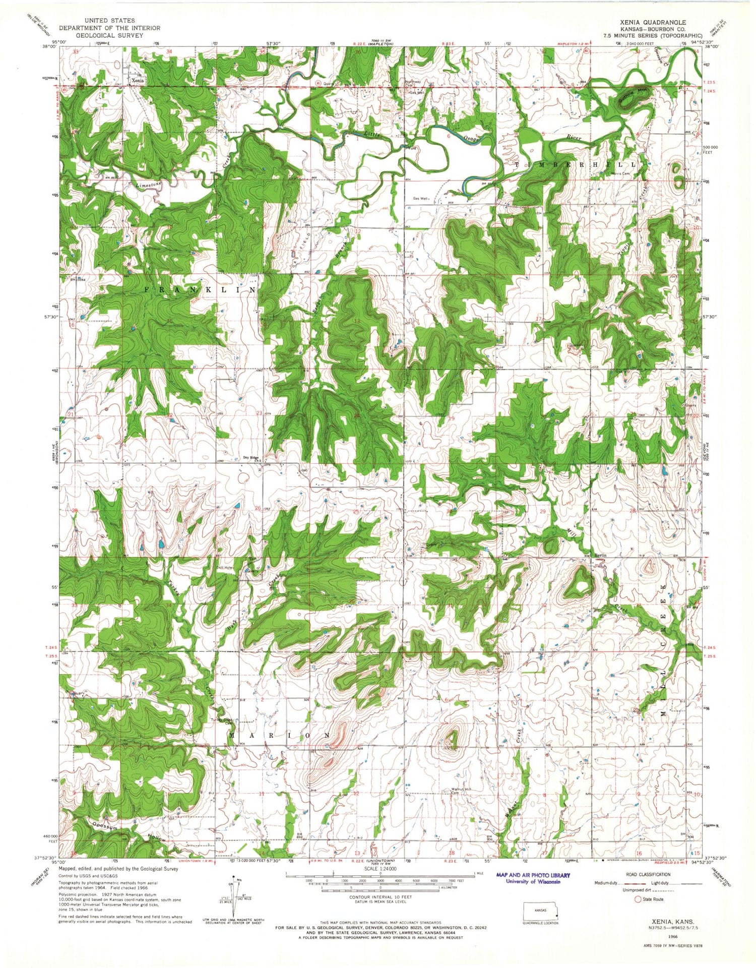
Classic USGS Xenia Kansas 7.5'x7.5' Topo Map
Couldn't load pickup availability
Historical USGS topographic quad map of Xenia in the state of Kansas. Map scale may vary for some years, but is generally around 1:24,000. Print size is approximately 24" x 27"
This quadrangle is in the following counties: Bourbon.
The map contains contour lines, roads, rivers, towns, and lakes. Printed on high-quality waterproof paper with UV fade-resistant inks, and shipped rolled.
Contains the following named places: Baker School, Berlin, Berlin School, Dry Ridge Church, Dry Ridge School, Dyer Creek, Guthrie Mountain, Harmony School, Limestone Creek, Morris Cemetery, Northway Cemetery, Oakdale School, Opossum Creek, Pleasant Valley School, Poplar Grove School, Reagan Branch, Tippie Creek, Township of Timberhill, Turkey Creek Cemetery, Turkey Creek School, Walnut Hill Cemetery, Walnut Hill School, Xenia, Xenia Baptist Church