MyTopo
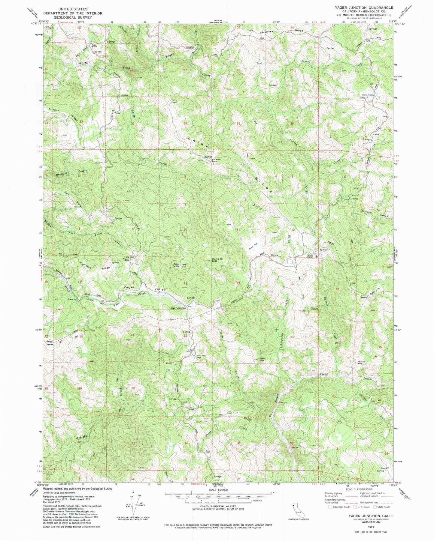
Classic USGS Yager Junction California 7.5'x7.5' Topo Map
Couldn't load pickup availability
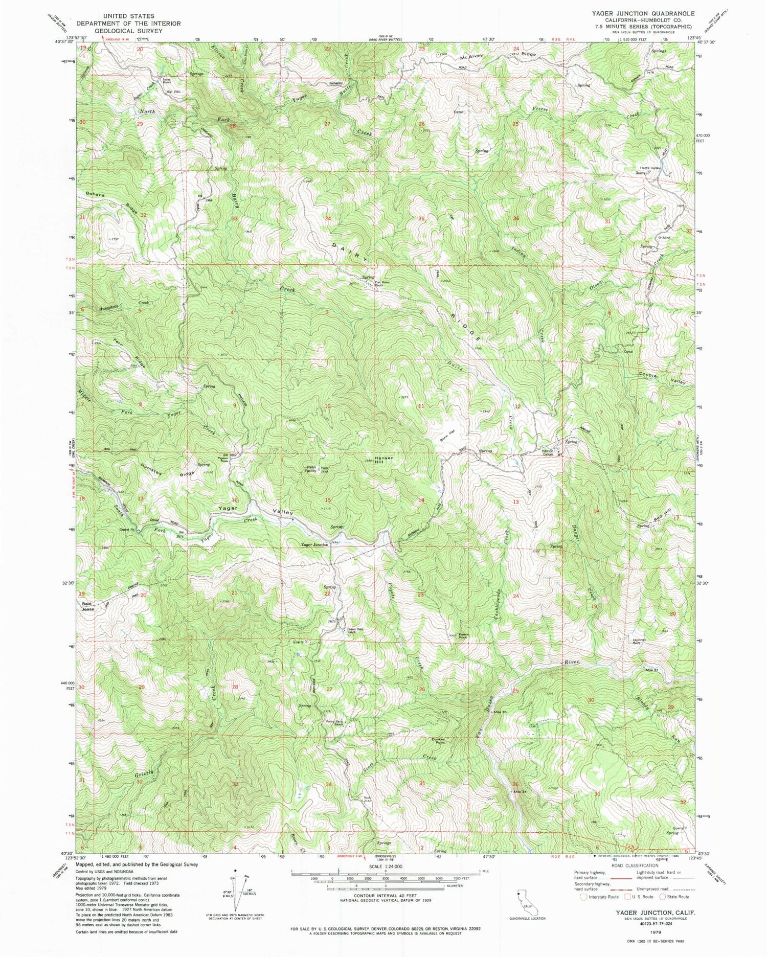
Historical USGS topographic quad map of Yager Junction in the state of California. Map scale may vary for some years, but is generally around 1:24,000. Print size is approximately 24" x 27"
This quadrangle is in the following counties: Humboldt.
The map contains contour lines, roads, rivers, towns, and lakes. Printed on high-quality waterproof paper with UV fade-resistant inks, and shipped rolled.
Contains the following named places: Bloody Run, Bone Flat, Butte Creek, Cashlapooda Creek, Chimney Rock, Coyote Creek, Coyote Valley, Dairy Creek, Dairy Ridge, Danger Creek, Donkey Point, Ellison Creek, Fern Ridge, Fort Baker Ranch, Freese Creek, Hansen Hill, Hansen Quarry, Hansom Corrals, Harts Valley, Humsted Ridge, Iaqua Creek, Iaqua Ranch, Indian Creek, Little Butte Creek, McAlvey Ridge, Olsen Creek, Palace Rock, Palace Rock Ranch, Pigeon Rock, Porter Ranch, Red Hill, Salmon Creek, Scott Creek, Showers Pass School, Sunny Basin Ranch, Yager Junction, Yager Valley


