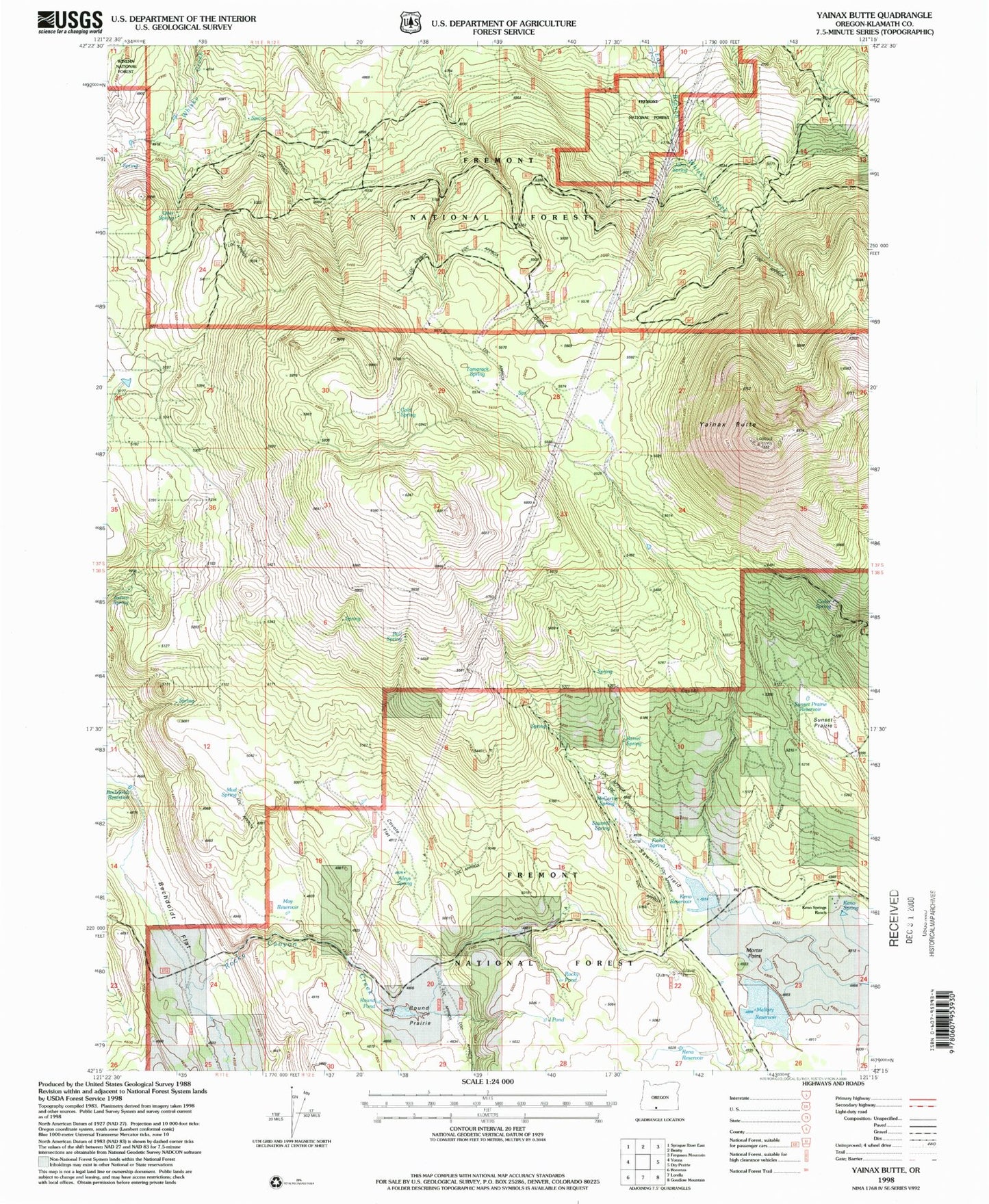
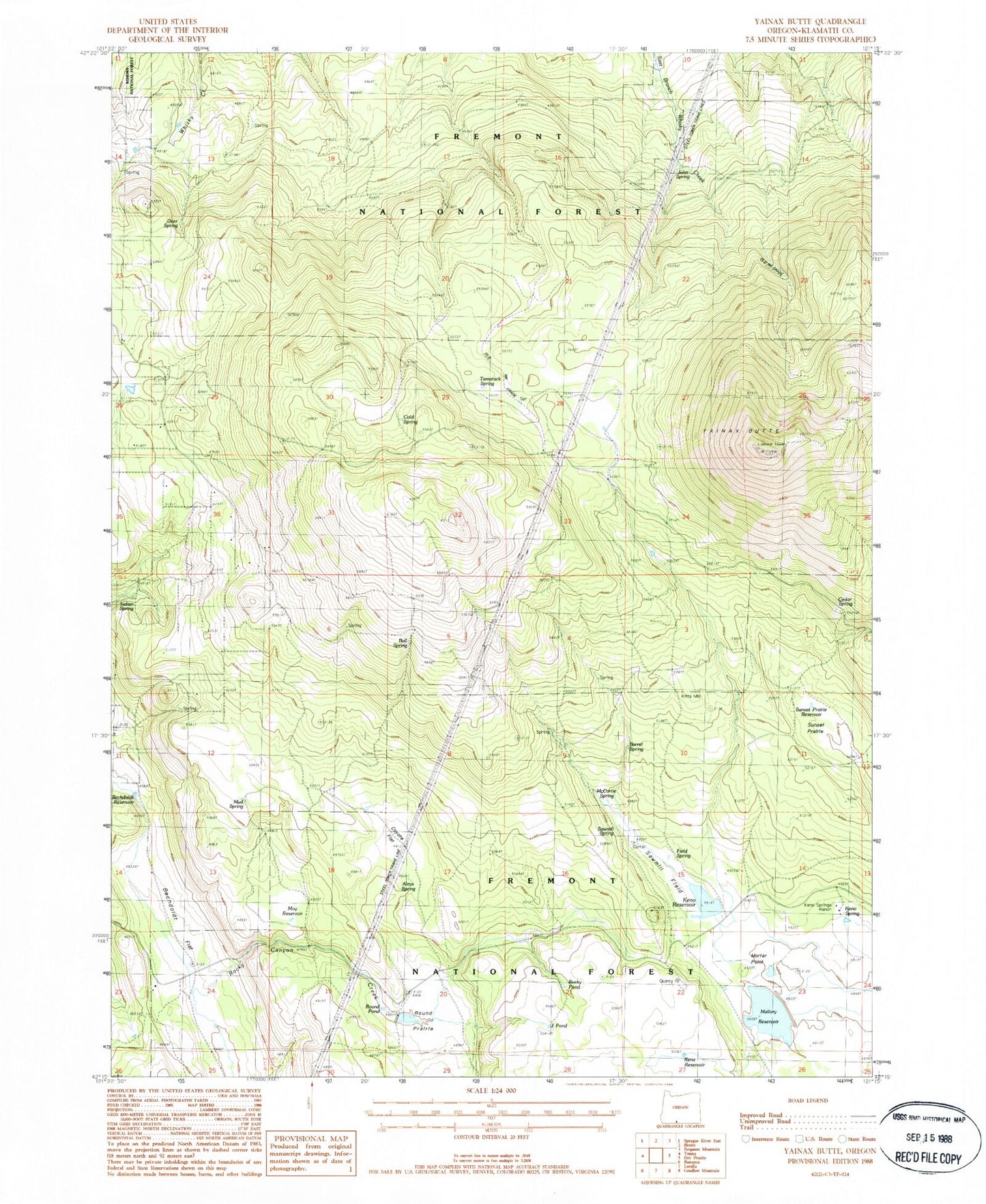
MyTopo
Classic USGS Yainax Butte Oregon 7.5'x7.5' Topo Map
Couldn't load pickup availability
Historical USGS topographic quad map of Yainax Butte in the state of Oregon. Map scale may vary for some years, but is generally around 1:24,000. Print size is approximately 24" x 27"
This quadrangle is in the following counties: Klamath.
The map contains contour lines, roads, rivers, towns, and lakes. Printed on high-quality waterproof paper with UV fade-resistant inks, and shipped rolled.
Contains the following named places: Aleys Spring, Barrel Spring, Bechdoldt Flat, Bechdoldt Gulch, Bechdoldt Reservoir, Bull Spring, Cedar Spring, Cold Spring, Coyote Flat, Deer Spring, Field Spring, J Pond, John Spring, Keno Dam, Keno Guard Station, Keno Reservoir, Keno Spring, Keno Springs Ranch, Kitts Mill, Mallory Reservoir, May Reservoir, McCartie Reservoir, McCartie Spring, Mortar Point, Mortar Prairie, Mud Spring, Rena Reservoir, Rocky Canyon, Rocky Pond, Round Pond, Round Prairie, Sawmill Field, Sawmill Spring, Sunset Prairie, Sunset Prairie Reservoir, Tamarack Spring, West Keno Springs, Yainax Butte