
MyTopo
Classic USGS Yakutat C-5 SE Alaska 7.5'x7.5' Topo Map
Couldn't load pickup availability
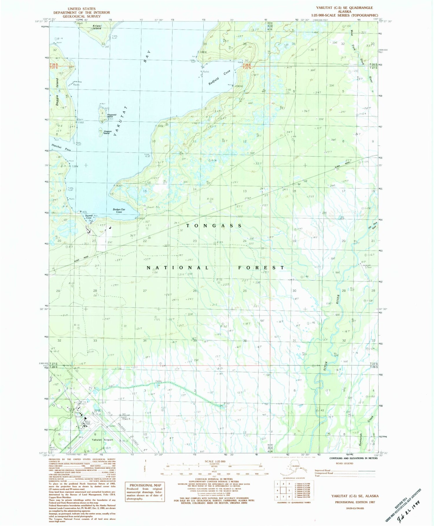
Historical USGS topographic quad map of Yakutat C-5 SE in the state of Alaska. Typical map scale is 1:24,000, but may vary for certain years, if available. Print size: 24" x 27"
This quadrangle is in the following counties: Yakutat.
The map contains contour lines, roads, rivers, towns, and lakes. Printed on high-quality waterproof paper with UV fade-resistant inks, and shipped rolled.
Contains the following named places: Gregson Island, Sawmill Cove, Doggie Island, Yakutat Airport, Situk Airport, Broken Oar Cove, Dolgoi Island, Fitzgerald Island, Hatchet Pass, Old Situk River, Onklat Creek, Redfield Cove, Black Duck Bay, Puerto de las Lanchas, Yakutat Alaska Native Village Statistical Area, Yakutat Census Designated Place, Alaska State Troopers Yakutat


