MyTopo
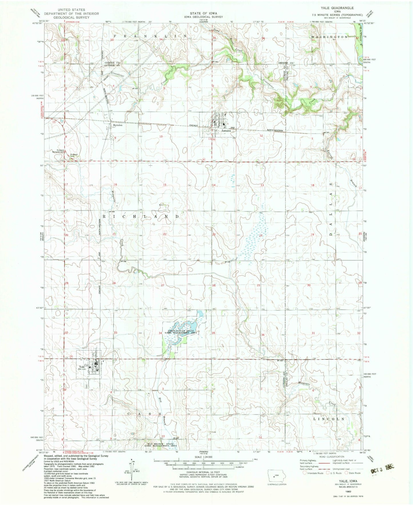
Classic USGS Yale Iowa 7.5'x7.5' Topo Map
Couldn't load pickup availability
Historical USGS topographic quad map of Yale in the state of Iowa. Map scale may vary for some years, but is generally around 1:24,000. Print size is approximately 24" x 27"
This quadrangle is in the following counties: Dallas, Greene, Guthrie.
The map contains contour lines, roads, rivers, towns, and lakes. Printed on high-quality waterproof paper with UV fade-resistant inks, and shipped rolled.
Contains the following named places: Advance Post Office, Church of Christ, City of Jamaica, City of Yale, Dead Brier Creek, Herndon, Herndon Post Office, Jamaica, Jamaica City Hall, Jamaica Fire Department, Jamaica Library, Jamaica Post Office, Jamaica Union Church, Lakin Slough State Game Management Area, Messenger Cemetery, Methodist Church, Panorama Elementary School, Richland Cemetery, Richland Memorial Cemetery, Township of Richland, Yale, Yale Cemetery, Yale City Hall, Yale Post Office, Yale Volunteer Fire Department, ZIP Codes: 50128, 50277