MyTopo
Classic USGS Yale Michigan 7.5'x7.5' Topo Map
Couldn't load pickup availability
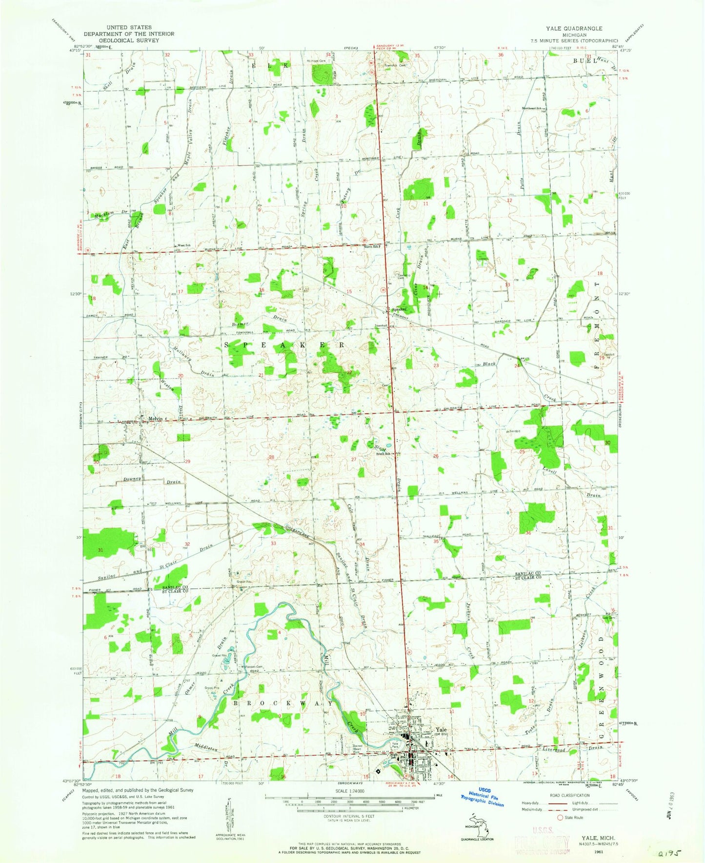
Historical USGS topographic quad map of Yale in the state of Michigan. Map scale may vary for some years, but is generally around 1:24,000. Print size is approximately 24" x 27"
This quadrangle is in the following counties: Sanilac, St. Clair.
The map contains contour lines, roads, rivers, towns, and lakes. Printed on high-quality waterproof paper with UV fade-resistant inks, and shipped rolled.
Contains the following named places: Beemer Drain, Christian Memorial Gardens East, City of Yale, Cline Drain, Cole Drain, Cork Drain, Downey Drain, East Branch Speaker and Maple Valley Drain, Elk Township Cemetery, Elmwood Cemetery, Emanuel Redeemer Evangelical Lutheran Church, Emanuel Redeemer Evangelical Lutheran School, Fletcher Drain, Immaculate Conception Catholic Cemetery, James McColl House Historical Marker, McFadden Cemetery, Meharg Drain, Melvin, Melvin Baptist Church, Melvin Cemetery, Melvin Post Office, Melvin Station, Merrillsville, Merrillsville Post Office, Merrillsville Station, Mount Hope Cemetery, Mullaney Drain, North Hill Mobile Home Village, North School, Northeast School, Ohmer Drain, Para Field, Presbyterian Church, Putney Drain, Sacred Heart Cemetery, Sacred Heart Church, Sanilac and Saint Clair Drain, Shell Drain, Sloat Drain, South School, Speaker, Speaker Post Office, Speaker Township Cemetery, Speaker Township Fire Department Station 1 Headquarters, Speaker Township Fire Department Station 2, Teets Drain, Township of Speaker, Trinity Missionary Church, Village of Melvin, West School, Weston Drain, Willow Tree Golf and Country Club, Yale, Yale Community Hospital, Yale Elementary School, Yale High School, Yale Junior High School, Yale Park, Yale Police Department, Yale Post Office, Yale Public Library, Yale Station, Yale United Methodist Church, ZIP Code: 48454


