
MyTopo
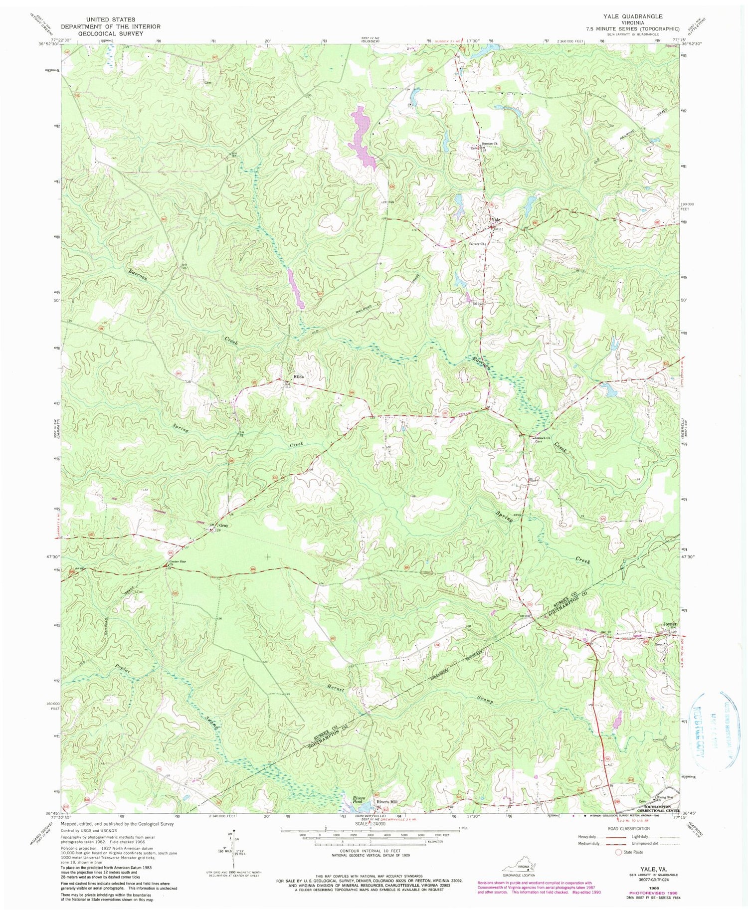
Classic USGS Yale Virginia 7.5'x7.5' Topo Map
Couldn't load pickup availability
Historical USGS topographic quad map of Yale in the state of Virginia. Map scale may vary for some years, but is generally around 1:24,000. Print size is approximately 24" x 27"
This quadrangle is in the following counties: Southampton, Sussex.
The map contains contour lines, roads, rivers, towns, and lakes. Printed on high-quality waterproof paper with UV fade-resistant inks, and shipped rolled.
Contains the following named places: Antioch Cemetery, Calvary Cemetery, Calvary Church, Center Star Church, Gray, Hilda, Joyner, Magee Dam, Magee Pond, Rising Star Church, Rivers Dam, Rivers Mill, Rivers Pond, Rivers School, Rogers Dam, Rogers Pond, Russian Church, Yale, Yale Post Office, Yale School, Yale Seventh Day Adventist School, ZIP Code: 23897


