MyTopo
Classic USGS Yanceyville North Carolina 7.5'x7.5' Topo Map
Couldn't load pickup availability
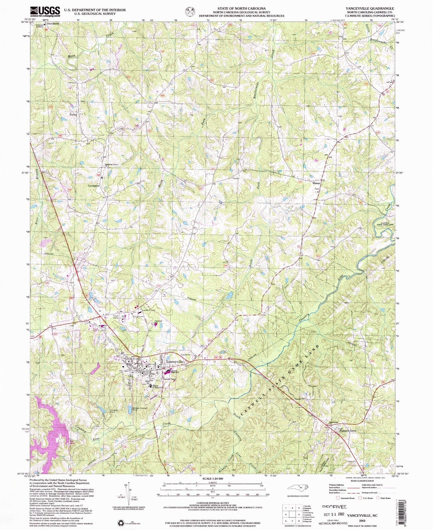
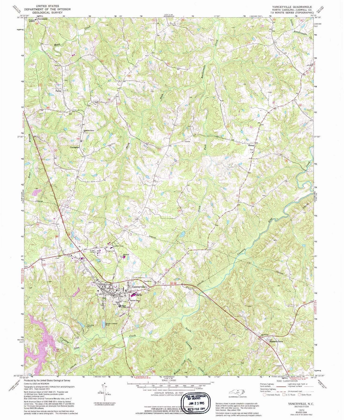
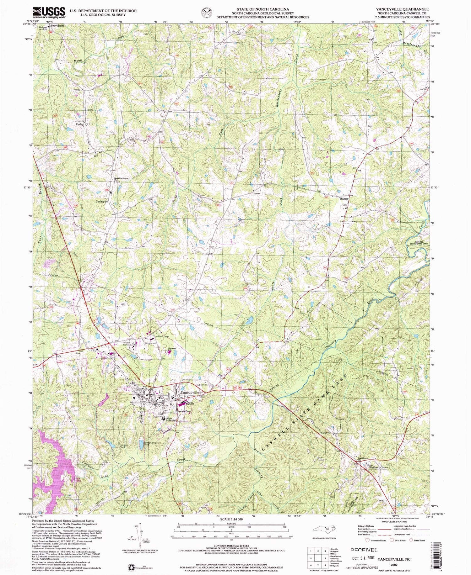
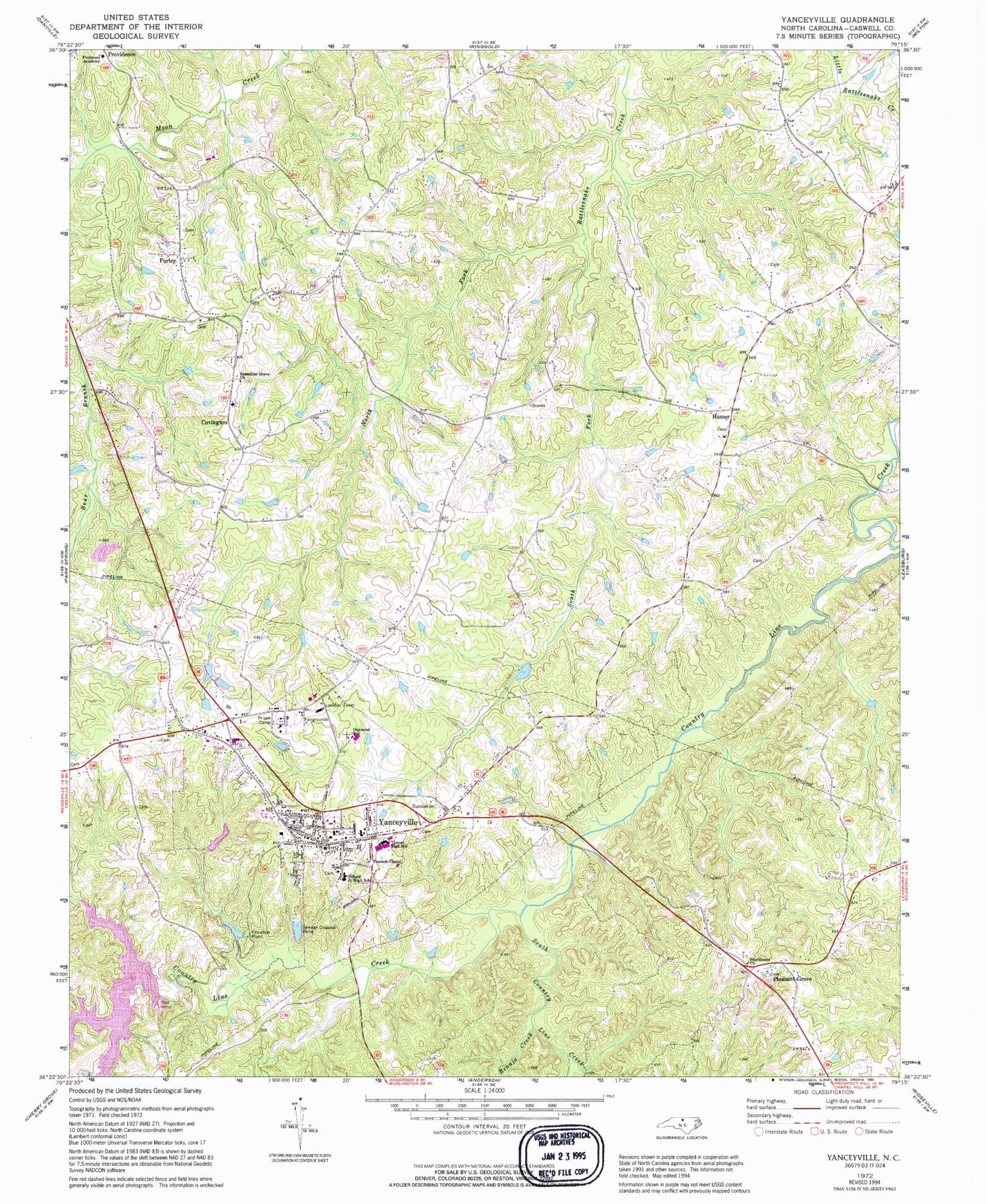
Historical USGS topographic quad map of Yanceyville in the state of North Carolina. Typical map scale is 1:24,000, but may vary for certain years, if available. Print size: 24" x 27"
This quadrangle is in the following counties: Caswell.
The map contains contour lines, roads, rivers, towns, and lakes. Printed on high-quality waterproof paper with UV fade-resistant inks, and shipped rolled.
Contains the following named places: Benaja Creek, Dillard Junior High School, Hamer, North Fork Rattlesnake Creek, Oakwood School, Pearson Chapel, Piedmont Academy, Providence Church, Sassafras Grove Church, South Country Line Creek, South Fork Rattlesnake Creek, Yancey High School, Yanceyville, Bartlett Yancey Elementary School, Caswell County, WYNC-AM (Yanceyville), Covington, Pleasant Grove, Purley, Caswell Game Land, Township of Dan River, Township of Yanceyville, Town of Yanceyville, The Cornerstone Apostolic Tabernacle, Providence Fire and Rescue, Yanceyville Municipal Volunteer Fire Department, Caswell County Emergency Medical Ambulance Services, Caswell County Sheriff's Office, Caswell Correctional Center, Dan River Prison Work Farm, Yanceyville Post Office


