
MyTopo
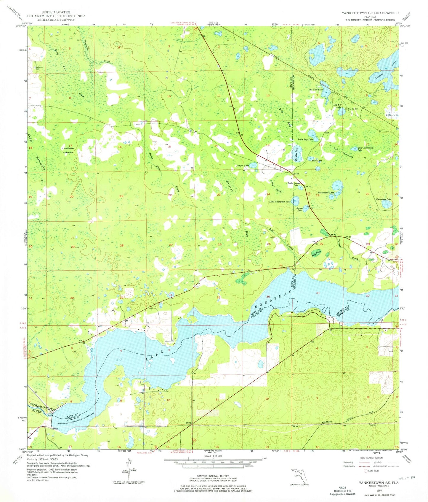
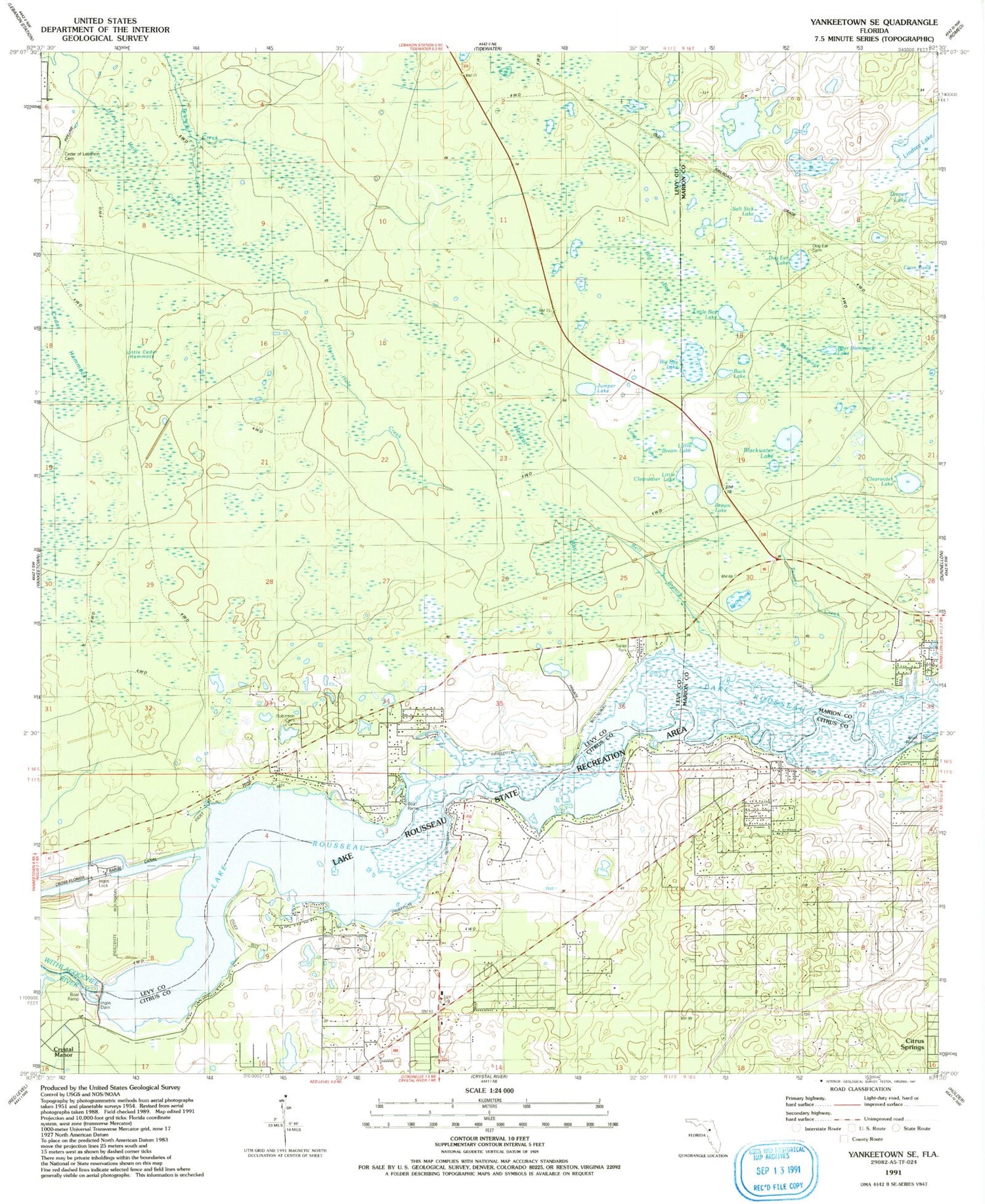
Classic USGS Yankeetown SE Florida 7.5'x7.5' Topo Map
Couldn't load pickup availability
Historical USGS topographic quad map of Yankeetown SE in the state of Florida. Map scale may vary for some years, but is generally around 1:24,000. Print size is approximately 24" x 27"
This quadrangle is in the following counties: Citrus, Levy, Marion.
The map contains contour lines, roads, rivers, towns, and lakes. Printed on high-quality waterproof paper with UV fade-resistant inks, and shipped rolled.
Contains the following named places: Bear Hammock, Bear Hammock Lake, Bell Branch, Bell Pond, Big Bay, Big Bay Lake, Blackwater Lake, Bream Lake, Buck Lake, Cedar Hammock, Cedar of Lebanon Cemetery, Citrus County Fire Rescue Station 9, Clearwater Lake, Crystal Manor, Dog Ear Cemetery, Dog Ear Lake, Hellcat Bay, Inglis Dam, Inglis Lock, J R's Airport, Jumper Lake, Lake Rousseau, Lindsey Lake, Little Bay Lake, Little Bream Lake, Little Cedar Hammock, Little Clearwater Lake, Long Pond, Red Level Substation Number 1, Robinson Cemetery, Salt Sick Lake, South Levy Volunteer Fire Station - District 1, Turner Creek, ZIP Code: 34433