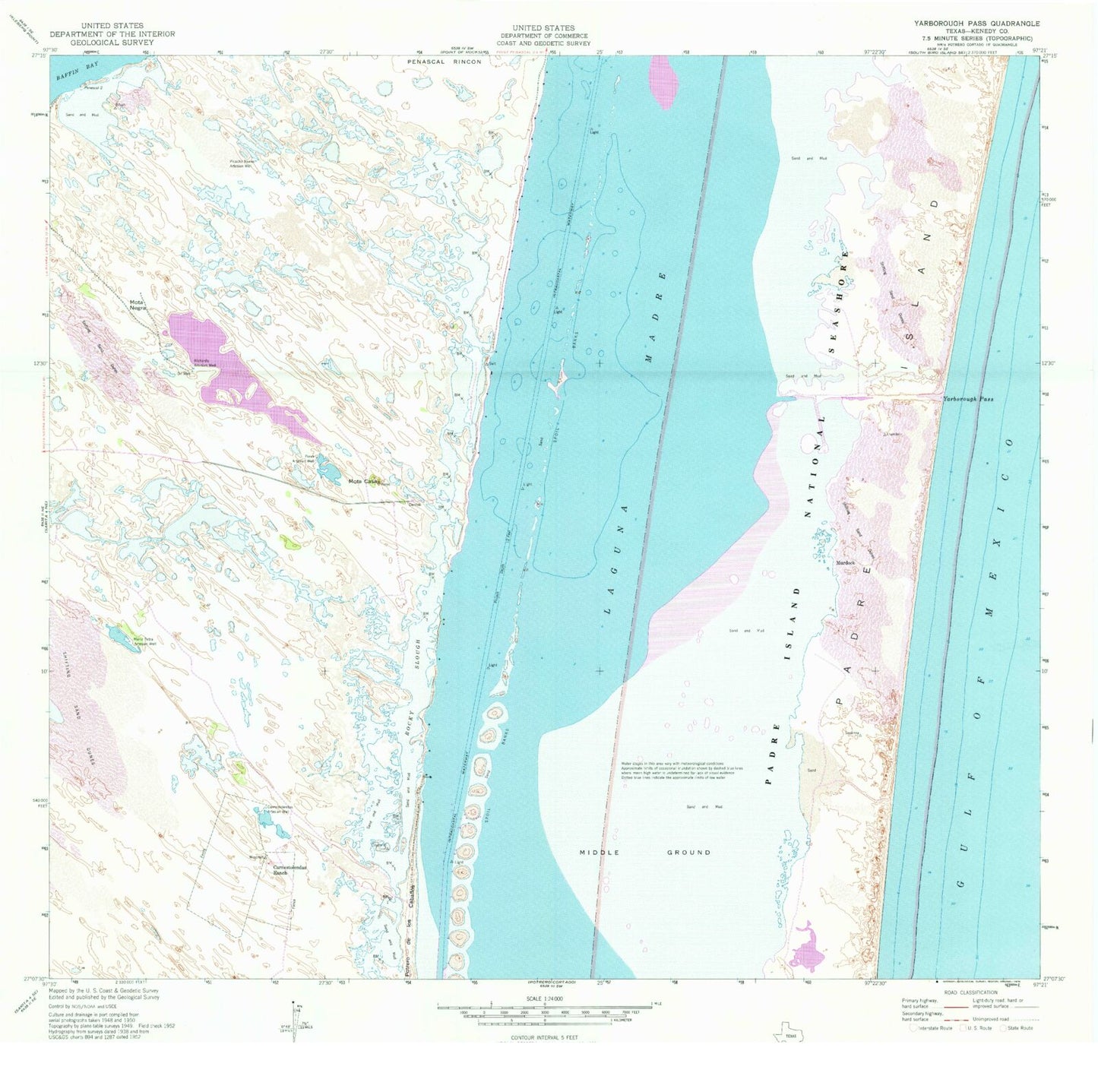
MyTopo
Classic USGS Yarborough Pass Texas 7.5'x7.5' Topo Map
Regular price
$16.95
Regular price
Sale price
$16.95
Unit price
per
Couldn't load pickup availability
Historical USGS topographic quad map of Yarborough Pass in the state of Texas. Map scale may vary for some years, but is generally around 1:24,000. Print size is approximately 24" x 27"
This quadrangle is in the following counties: Kenedy.
The map contains contour lines, roads, rivers, towns, and lakes. Printed on high-quality waterproof paper with UV fade-resistant inks, and shipped rolled.
Contains the following named places: Carnestolendas Artesian Well, Carnestolendas Ranch, Maria Petra Artesian Well, Middle Ground, Mota Casa, Mota Negra, Ojo de Agua Spring, Perez Artesian Well, Picacho Nuevo Artesian Well, Potrero de los Caballos, Richards Artesian Well, Rocky Slough, Yarborough, Yarborough Pass