MyTopo
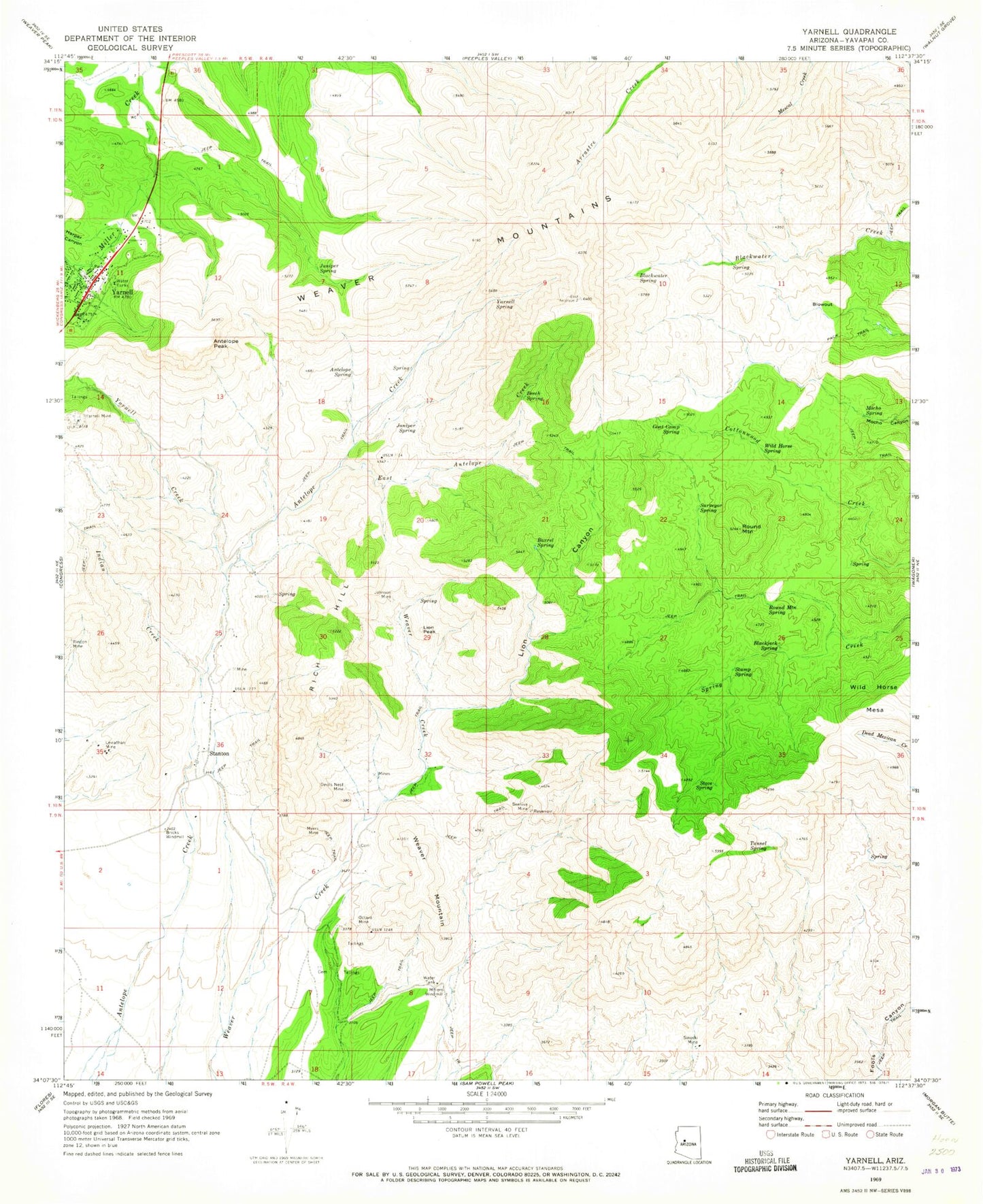
Classic USGS Yarnell Arizona 7.5'x7.5' Topo Map
Couldn't load pickup availability
Historical USGS topographic quad map of Yarnell in the state of Arizona. Typical map scale is 1:24,000, but may vary for certain years, if available. Print size: 24" x 27"
This quadrangle is in the following counties: Yavapai.
The map contains contour lines, roads, rivers, towns, and lakes. Printed on high-quality waterproof paper with UV fade-resistant inks, and shipped rolled.
Contains the following named places: Antelope Peak, Antelope Spring, Barrel Spring, Beech Spring, Beehive Mine, Blackjack Spring, Blackwater Spring, Blowout, Bricks Windmill, Devils Nest Mine, East Antelope Creek, Goat Camp Spring, Harper Canyon, Indian Creek, Johnson Mine, Juniper Spring, Juniper Spring, Leviathan Mine, Lion Canyon, Lion Peak, Millers Windmill, Mocho Spring, Myers Mine, Octave Mine, Rich Hill, Round Mountain, Round Mountain Spring, Sinoski Mine, Stove Spring, Stump Spring, Surveyor Spring, Tunnel Spring, Weaver Mountain, Wild Horse Spring, Yarnell, Yarnell Creek, Yarnell Mine, Yarnell Spring, Blowout Mountain, Carrol Well, Yarnell Community Hall, Yarnell Elementary School, Stanton, Octave, Wild Horse Mesa, Genung Mountain, Yarnell Post Office, Congress Division, Yarnell Community Presbyterian Church, Yarnell Fire Department, Yavapai County Sheriff's Office Yarnell