MyTopo
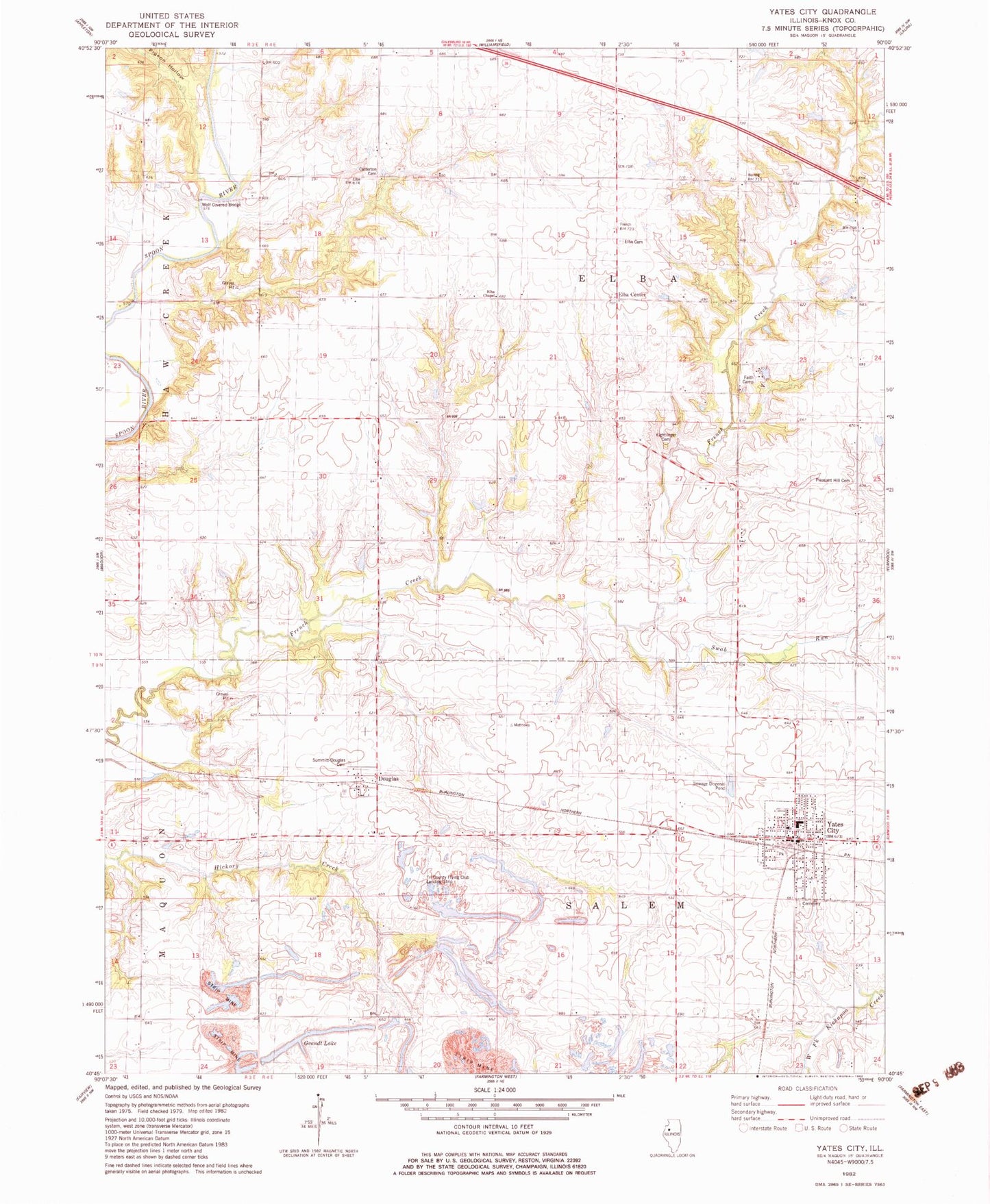
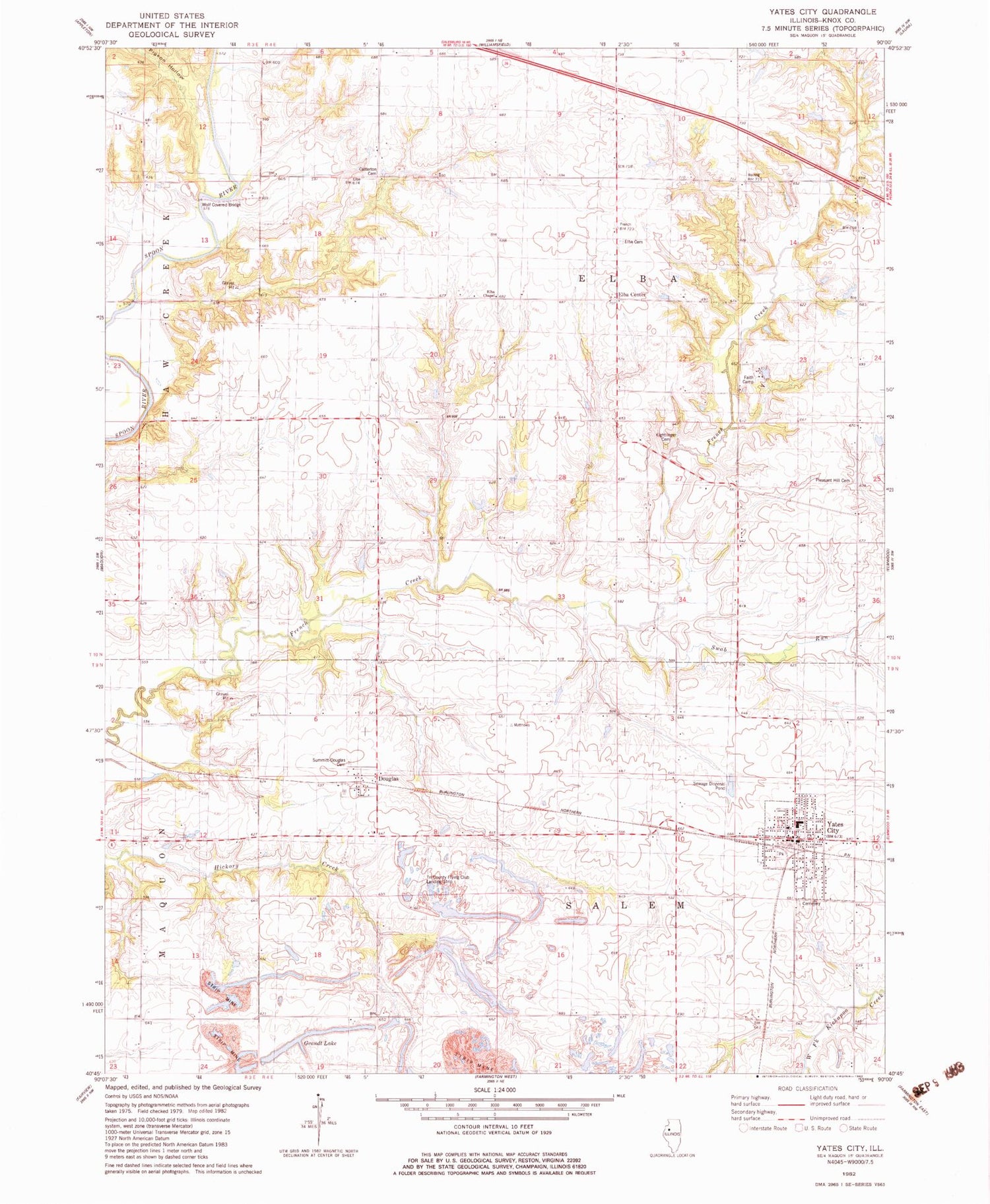
Classic USGS Yates City Illinois 7.5'x7.5' Topo Map
Couldn't load pickup availability
Historical USGS topographic quad map of Yates City in the state of Illinois. Map scale may vary for some years, but is generally around 1:24,000. Print size is approximately 24" x 27"
This quadrangle is in the following counties: Knox.
The map contains contour lines, roads, rivers, towns, and lakes. Printed on high-quality waterproof paper with UV fade-resistant inks, and shipped rolled.
Contains the following named places: Catterton Cemetery, Cedar Bluff School, Corey School, Douglas, Elba - Salem Fire Protection District, Elba Cemetery, Elba Center, Elba Chapel, Elba School, Faith Camp, Faith United Presbyterian Church, Ford School, Foster School, Grandt Lake, Kightlinger Cemetery, McGirr School, Pigeon Hollow, Pleasant Grove School, Pleasant Hill Cemetery, Pleasant Hill School, Salem Center School, Summitt - Douglas Cemetery, Swab Run, Township of Elba, Township of Salem, Tri-County Airport, Union School, Village of Yates City, West Union School, Wolf Covered Bridge, Yates City, Yates City Cemetery, Yates City Community Center, Yates City Grade School, Yates City Police Department, Yates City Post Office, ZIP Code: 61572