MyTopo
Classic USGS Yelland Dry Lake Nevada 7.5'x7.5' Topo Map
Couldn't load pickup availability
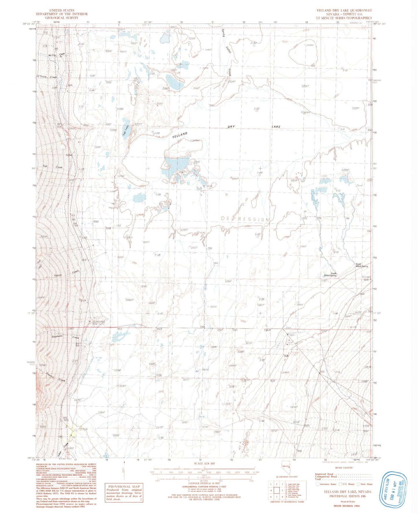
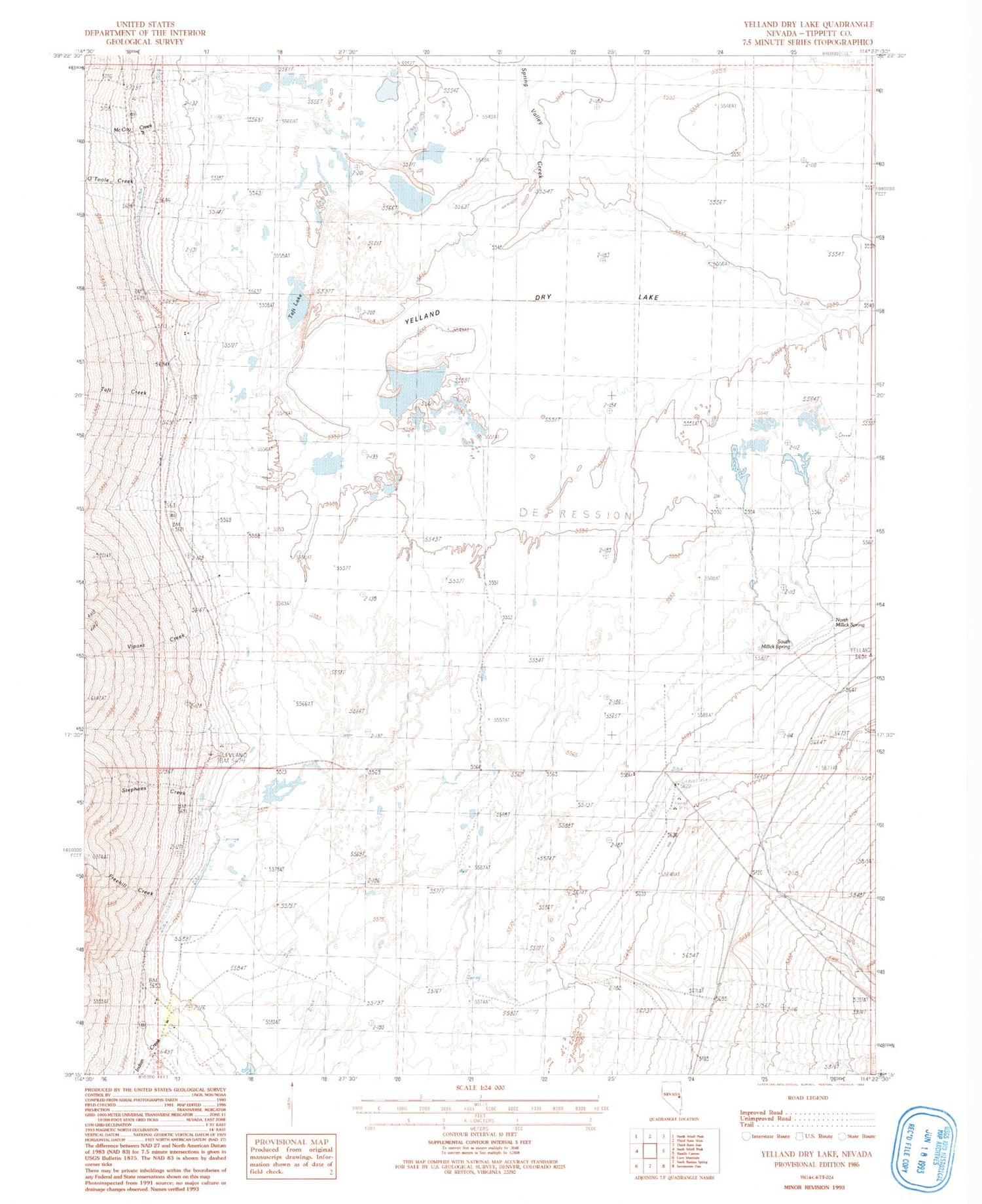
Historical USGS topographic quad map of Yelland Dry Lake in the state of Nevada. Map scale may vary for some years, but is generally around 1:24,000. Print size is approximately 24" x 27"
This quadrangle is in the following counties: White Pine.
The map contains contour lines, roads, rivers, towns, and lakes. Printed on high-quality waterproof paper with UV fade-resistant inks, and shipped rolled.
Contains the following named places: Cazier Ranch, Cleveland, Cleveland Post Office, Cleveland Ranch, Cleveland Ranch Post Office, Freehill Creek, Heckethorn Ranch, Negro Creek, North Millick Spring, O'Toole Creek, South Millick Spring, South Taft Creek, Spring Creek, Spring Valley, Spring Valley Creek, Stephens Creek, Taft, Taft Creek, Taft Lake, Taft Post Office, Taft School, Vipont Creek, Yelland, Yelland Dry Lake, Yelland Post Office, Yelland Ranch