MyTopo
Classic USGS Yellow Hill New Mexico 7.5'x7.5' Topo Map
Regular price
$16.95
Regular price
Sale price
$16.95
Unit price
per
Couldn't load pickup availability
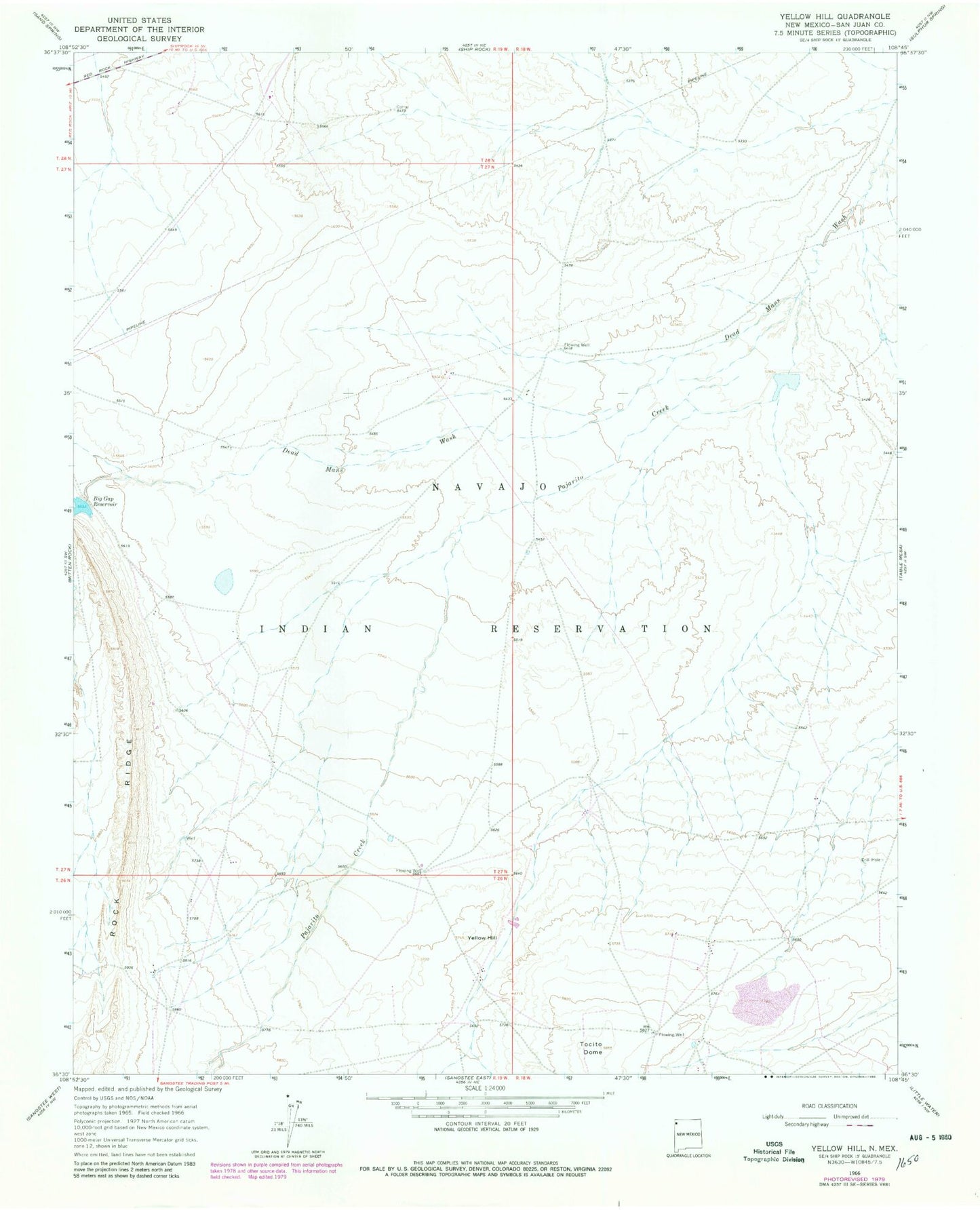
Historical USGS topographic quad map of Yellow Hill in the state of New Mexico. Map scale may vary for some years, but is generally around 1:24,000. Print size is approximately 24" x 27"
This quadrangle is in the following counties: San Juan.
The map contains contour lines, roads, rivers, towns, and lakes. Printed on high-quality waterproof paper with UV fade-resistant inks, and shipped rolled.
Contains the following named places: 12R-100 Water Well, 12T-343 Water Well, 12T-508 Water Well, 12T-646 Water Well, 12T-654 Water Well, Big Gap Dam, Big Gap Reservoir, Pajarito Creek, Rock Ridge, Shiprock-Sanostee Division, SJ-743 Water Well, Table Mesa Dam, Tocito Dome, Yellow Hill