MyTopo
Classic USGS Yellow Hills West Nevada 7.5'x7.5' Topo Map
Regular price
$16.95
Regular price
Sale price
$16.95
Unit price
per
Couldn't load pickup availability
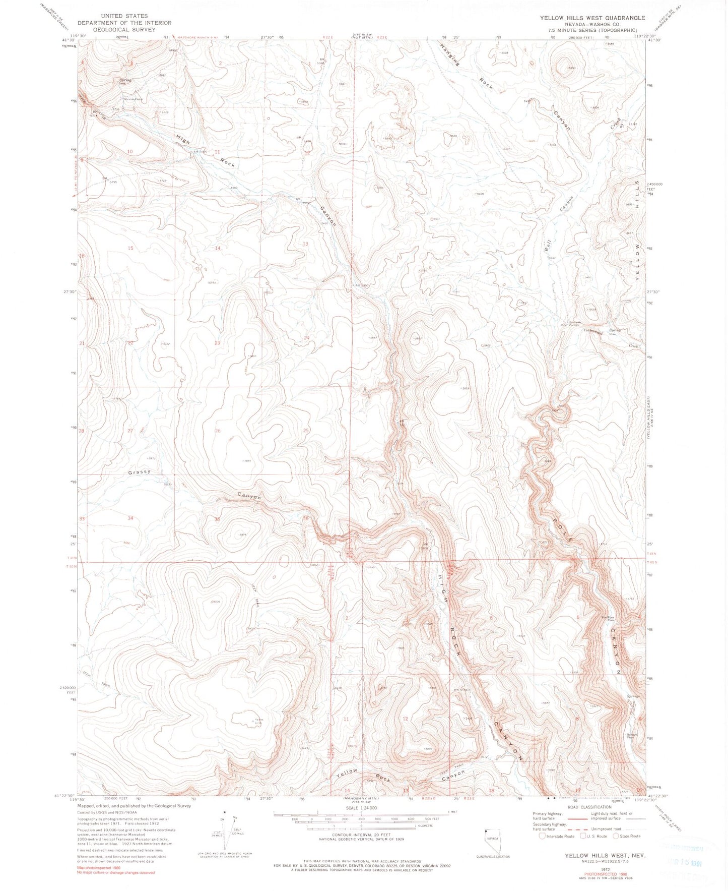
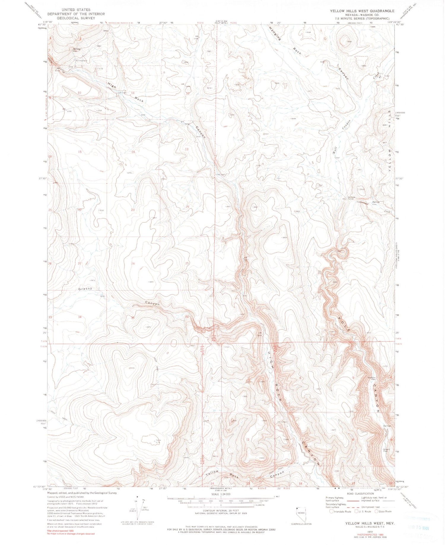
Historical USGS topographic quad map of Yellow Hills West in the state of Nevada. Map scale may vary for some years, but is generally around 1:24,000. Print size is approximately 24" x 27"
This quadrangle is in the following counties: Washoe.
The map contains contour lines, roads, rivers, towns, and lakes. Printed on high-quality waterproof paper with UV fade-resistant inks, and shipped rolled.
Contains the following named places: Bernard Place, Bernards Corrals, Cottonwood Creek, Grassy Canyon, Hanging Rock Canyon, High Rock Canyon Wilderness, Stevens Camp, Van Riper Place, Wall Canyon Creek, Yellow Rock Canon Creek, Yellow Rock Canyon