MyTopo
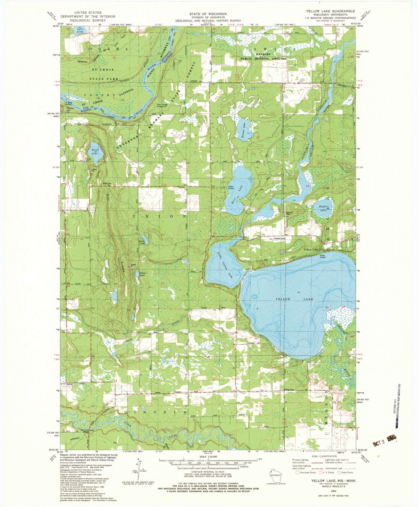
Classic USGS Yellow Lake Wisconsin 7.5'x7.5' Topo Map
Couldn't load pickup availability
Historical USGS topographic quad map of Yellow Lake in the states of Wisconsin, Minnesota. Map scale may vary for some years, but is generally around 1:24,000. Print size is approximately 24" x 27"
This quadrangle is in the following counties: Burnett, Pine.
The map contains contour lines, roads, rivers, towns, and lakes. Printed on high-quality waterproof paper with UV fade-resistant inks, and shipped rolled.
Contains the following named places: Bass Lake, Black Brook, Bluff Lake, Bluff Lake Cemetery, Bluff Lake School, Buffalo Lake, Chase Lake, Danbury Dam, Danbury Flowage, Danbury Public Hunting Grounds, Ice House Bridge, Kreiner Lake, Lake Alma, Lincoln Townhall, Little Yellow Lake, Perida Cemetery, Perida School, Rahn Lake, Saint Johns Landing, Sioux Portage Campground, Sioux Portage Creek, Town of Union, Union Townhall, Yellow Lake