MyTopo
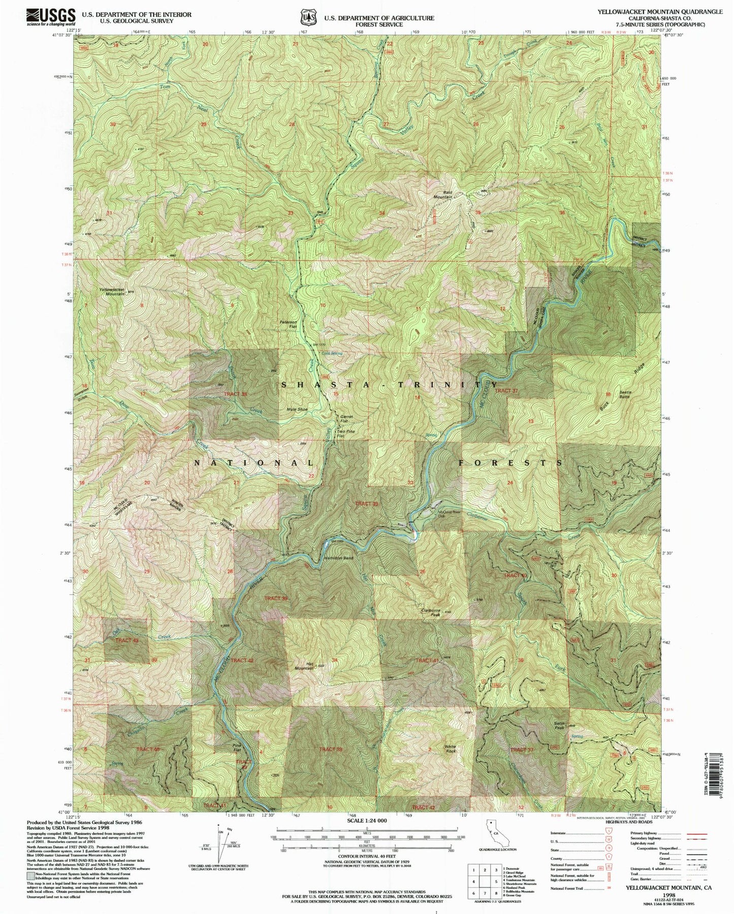
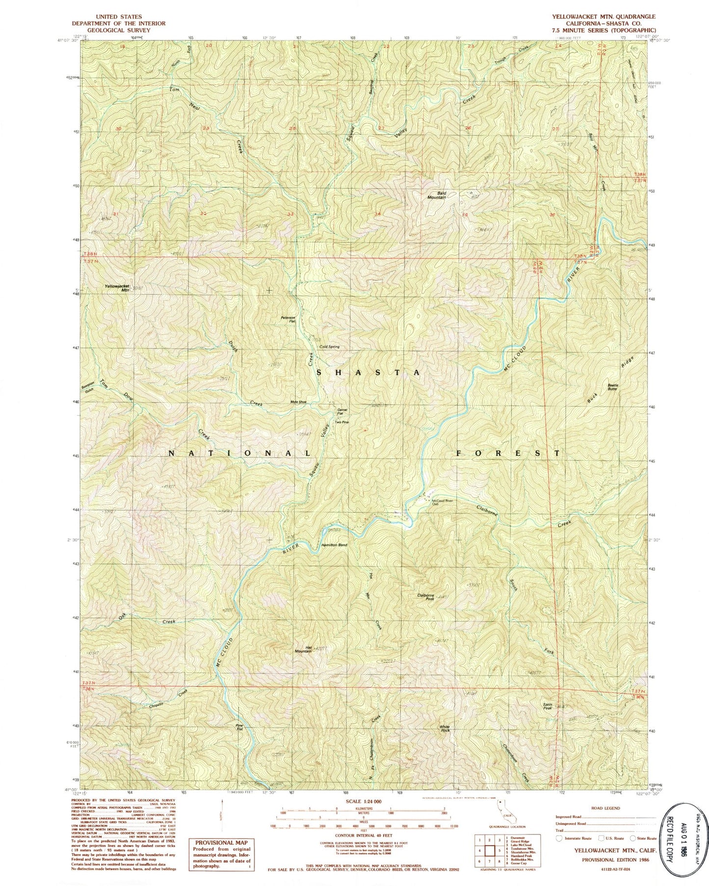
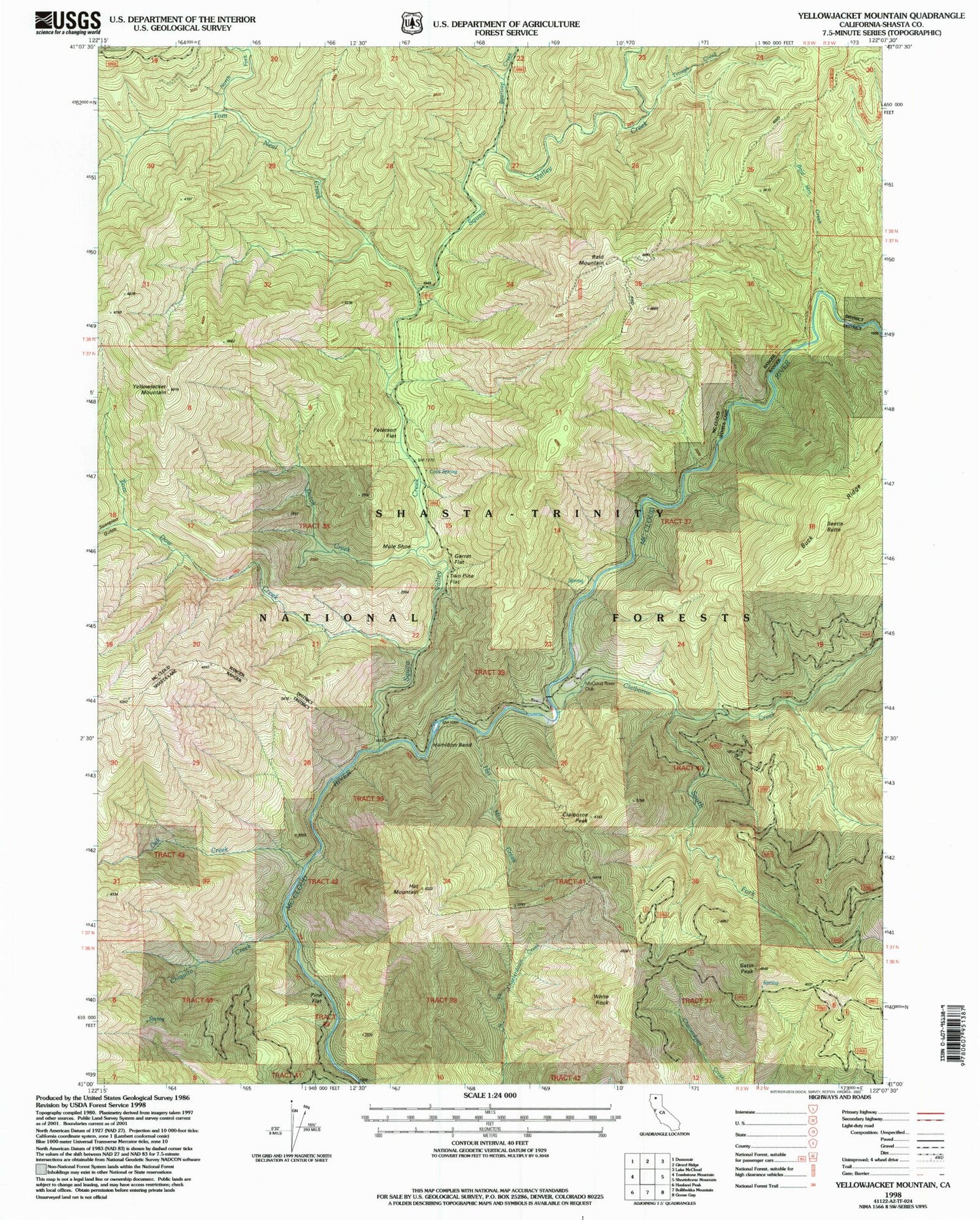
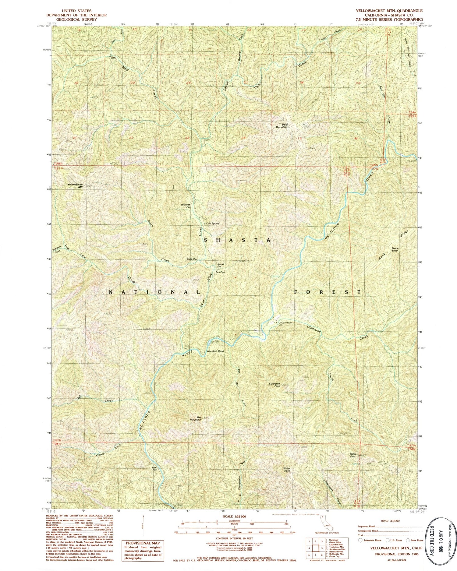
Classic USGS Yellowjacket Mountain California 7.5'x7.5' Topo Map
Couldn't load pickup availability
Historical USGS topographic quad map of Yellowjacket Mountain in the state of California. Map scale may vary for some years, but is generally around 1:24,000. Print size is approximately 24" x 27"
This quadrangle is in the following counties: Shasta.
The map contains contour lines, roads, rivers, towns, and lakes. Printed on high-quality waterproof paper with UV fade-resistant inks, and shipped rolled.
Contains the following named places: Bald Mountain, Bald Mountain Creek, Beartrap Creek, Beetle Butte, Chiquito Creek, Claiborne Creek, Claiborne Peak, Cold Spring, Dutch Creek, Garret Flat, Hamilton Bend, Hat Mountain, Hat Mountain Creek, McCloud River Club, Mule Shoe, North Fork Tom Neal Creek, Oak Creek, Peterson Flat, Pine Flat, Pine Flat Ranger Station, Satin Peak, Scorpion Gulch, South Fork Claiborne Creek, Squaw Valley Creek, Tom Dow Creek, Tom Neal Creek, Trough Creek, Two Pine, White Rock, Yellowjacket Mountain