MyTopo
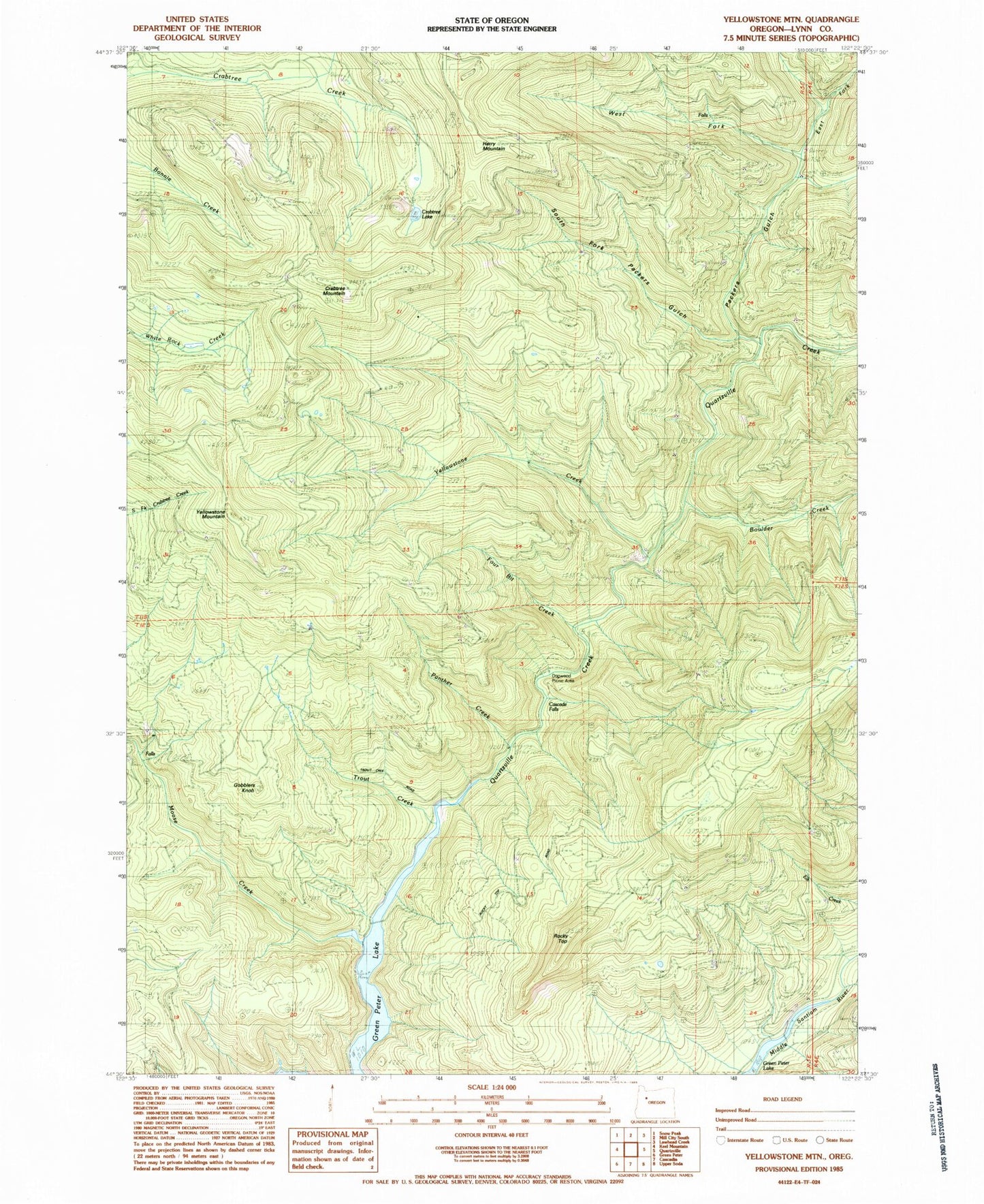
Classic USGS Yellowstone Mountain Oregon 7.5'x7.5' Topo Map
Couldn't load pickup availability
Historical USGS topographic quad map of Yellowstone Mountain in the state of Oregon. Map scale may vary for some years, but is generally around 1:24,000. Print size is approximately 24" x 27"
This quadrangle is in the following counties: Linn.
The map contains contour lines, roads, rivers, towns, and lakes. Printed on high-quality waterproof paper with UV fade-resistant inks, and shipped rolled.
Contains the following named places: Anidem, Anidem Post Office, Boulder Creek, Camp Creek, Cascade Falls, Cave Creek, Crabtree Lake, Crabtree Mountain, Dogwood Recreation Site, East Fork Packers Gulch, Four Bit Creek, Gobblers Knob, Harry Mountain, Moose Creek, Packers Gulch, Painter Falls, Panther Creek, Quartzville Creek Wild and Scenic River, Rhody Creek, Rocky Top, South Fork Packers Gulch, Thomas Fork, Trout Creek, West Fork Quartzville Creek, Yellowstone Creek, Yellowstone Guard Station, Yellowstone Mountain