MyTopo
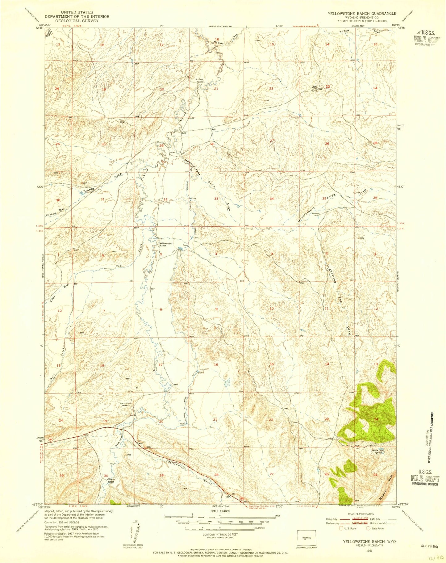
Classic USGS Yellowstone Ranch Wyoming 7.5'x7.5' Topo Map
Couldn't load pickup availability
Historical USGS topographic quad map of Yellowstone Ranch in the state of Wyoming. Map scale may vary for some years, but is generally around 1:24,000. Print size is approximately 24" x 27"
This quadrangle is in the following counties: Fremont.
The map contains contour lines, roads, rivers, towns, and lakes. Printed on high-quality waterproof paper with UV fade-resistant inks, and shipped rolled.
Contains the following named places: Arthur Ranch, Auer Dam, Auer Reservoir, Cedar Draw, Cottonwood Creek, Del Monte Draw, Devils Gap Spring, Government Slide Draw, Hall Creek, Hays Draw, Henton Ranch, J Wade Claims, Kinney Draw, Marion Claim, McTurk Draw, Reno Draw, Samuel P Large Ditch, Shearing Pen Draw, Williams Draw, Yellowstone Ranch