MyTopo
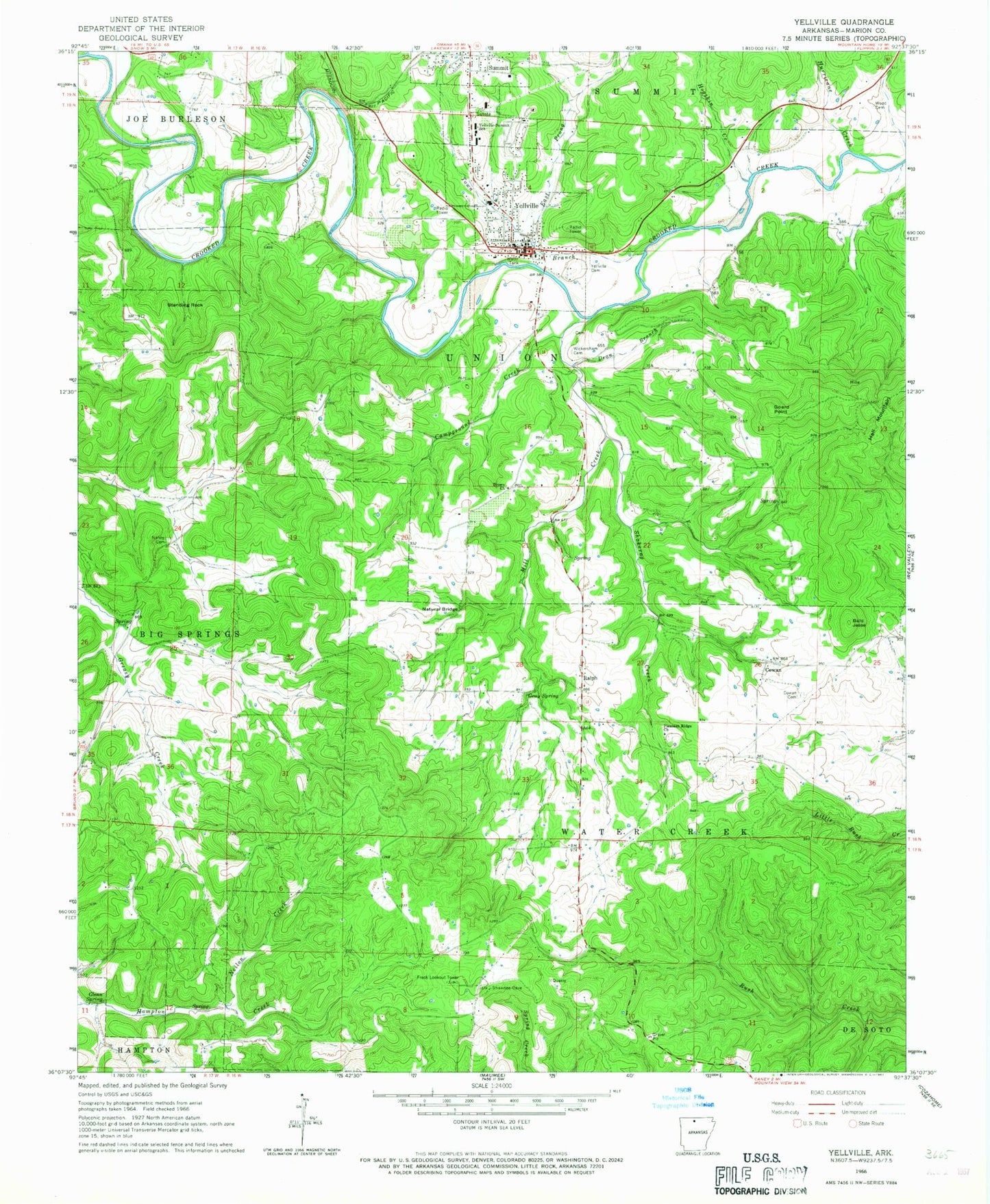
Classic USGS Yellville Arkansas 7.5'x7.5' Topo Map
Couldn't load pickup availability
Historical USGS topographic quad map of Yellville in the state of Arkansas. Typical map scale is 1:24,000, but may vary for certain years, if available. Print size: 24" x 27"
This quadrangle is in the following counties: Marion.
The map contains contour lines, roads, rivers, towns, and lakes. Printed on high-quality waterproof paper with UV fade-resistant inks, and shipped rolled.
Contains the following named places: Cowan Cemetery, Dean Branch, East Prong Town Branch, Georges Creek, Glenn Spring, Gray Spring, Hogskin Creek, Hurricane Creek, Mill Creek, Ralph Natural Bridge, Neilon Creek, Ralph, Shakerag Creek, Standing Rock, Town Branch, Wickersham Cemetery, Bald Jesse, Cowan, Goard Point, Pleasant Ridge Cemetery, New Hope Baptist Church, Marion County Courthouse, Marion County Hospital (historical), Yellville - Summit High School, Summit Baptist Church, Township of Big Springs (historical), Township of Union (historical), Township of Water Creek (historical), Brown Church, Campground Creek, Nanny Cemetery, Pleasant Ridge Methodist Church, Wood Cemetery, Yellville, Yellville Cemetery, Rocky Hollow School (historical), Freck Lookout Tower, Yellville - Summit Elementary School, Burns Funeral Home Parking Lot Heliport, Summit Post Office, Yellville Post Office, KCTT-AM (Yellville), Yellville - Summit Middle School, Yellville-summit Elementary School, Ralph - Caney Rural Fire Protection District, Yellville Volunteer Fire Department, Marion County Sheriff's Office, City of Yellville, Big Springs (historical)


