MyTopo
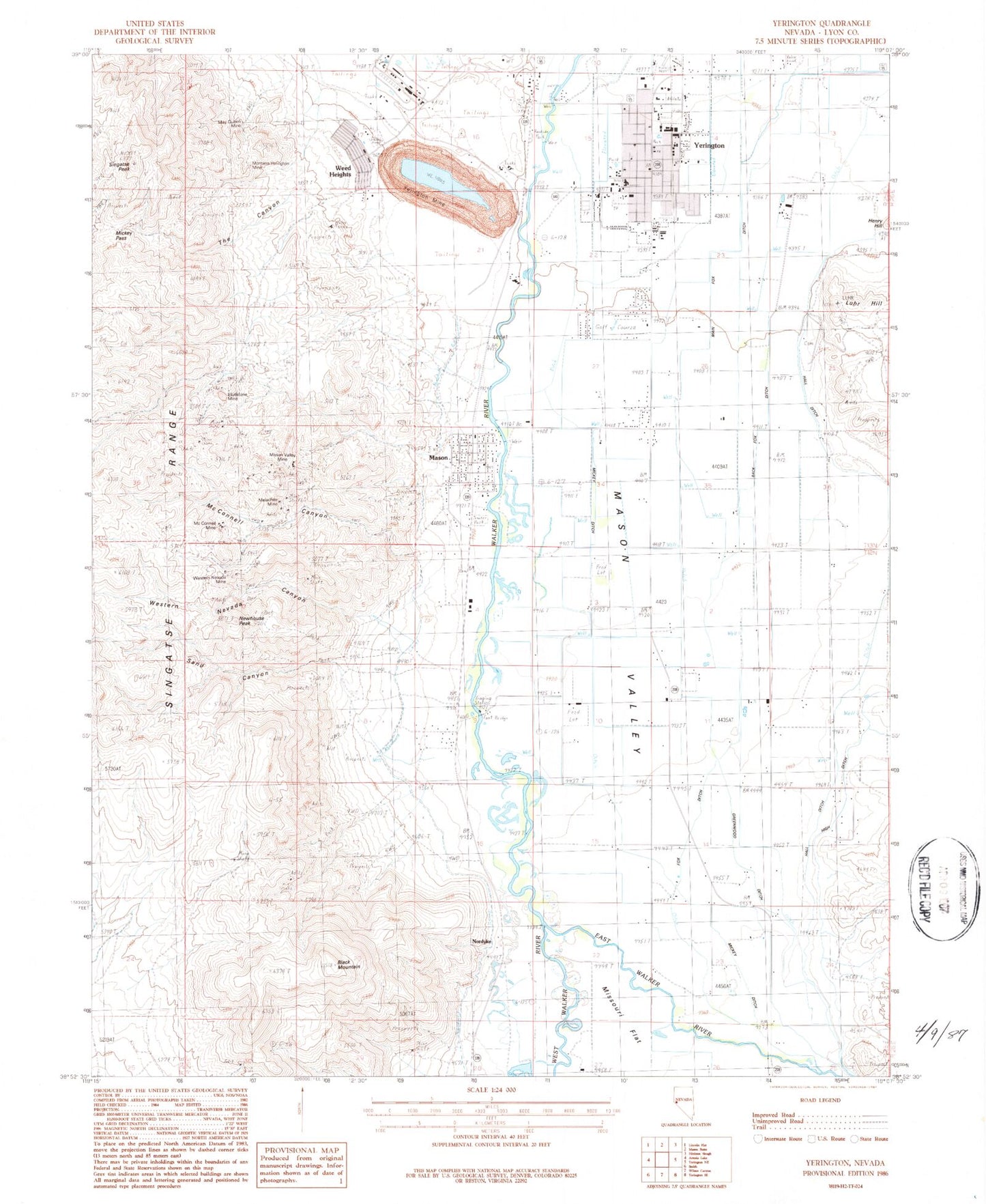
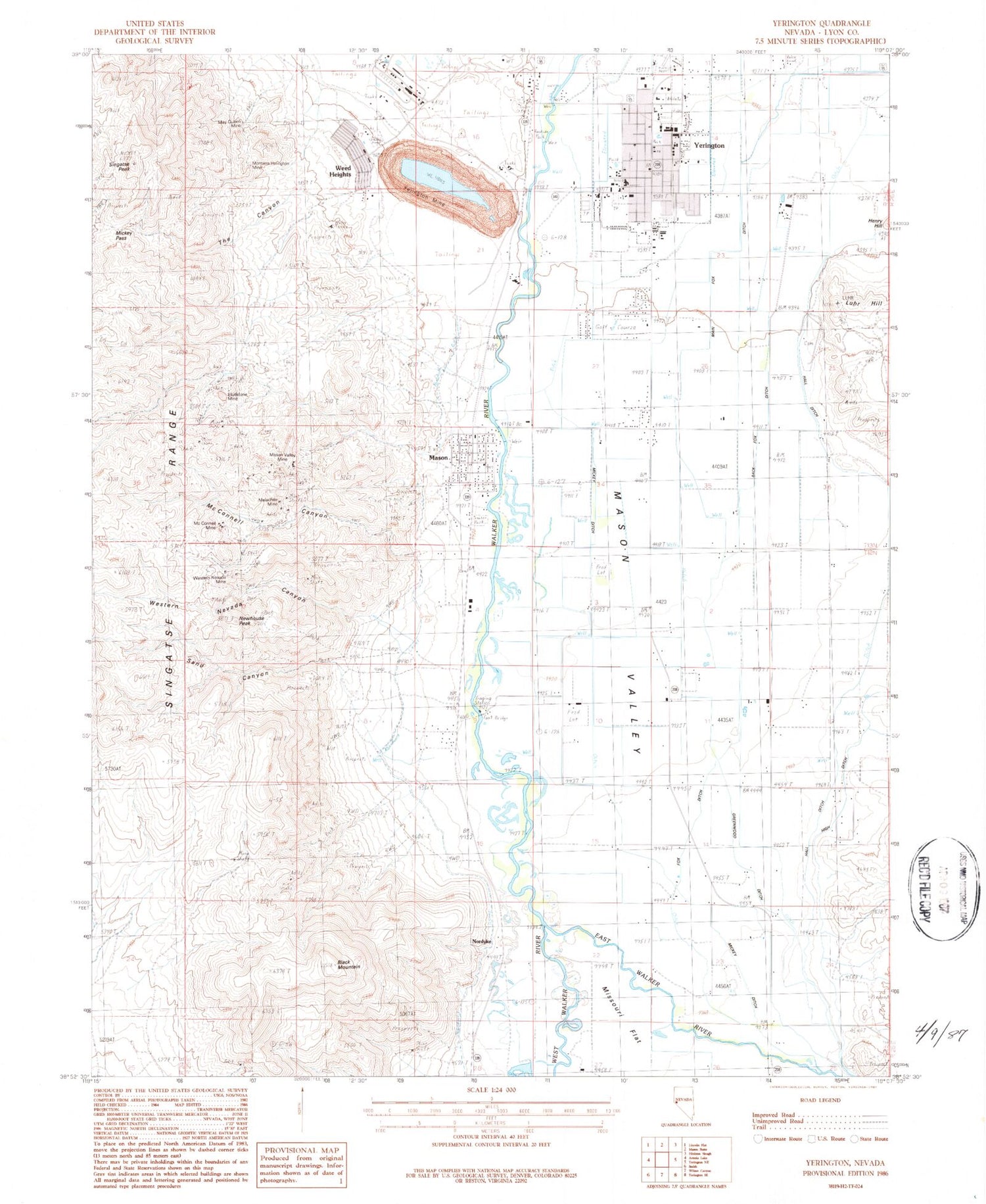
Classic USGS Yerington Nevada 7.5'x7.5' Topo Map
Couldn't load pickup availability
Historical USGS topographic quad map of Yerington in the state of Nevada. Map scale may vary for some years, but is generally around 1:24,000. Print size is approximately 24" x 27"
This quadrangle is in the following counties: Lyon.
The map contains contour lines, roads, rivers, towns, and lakes. Printed on high-quality waterproof paper with UV fade-resistant inks, and shipped rolled.
Contains the following named places: Back Fox Ditch, Barrett School, Bee Ranch, Black Diamond Mine, Black Mountain, Bluestone Crossing, Bluestone Mine, East Walker River, Fox Ditch, Gold Dyke Mine, Greenwood Ditch, Hall Ditch, Henry Hill, High Ditch, Luhr Hill, Lyon County Sheriff's Office, Lyon Health Center, Main Fox Ditch, Malachite Mine, Mason, Mason Post Office, Mason Valley Mine, Mason Valley Township, May Queen Mine, McConnell Canyon, McConnell Mine, McConnell Spur, McLeod Ditch, Mickey Ditch, Mickey Pass, Montana-Yerington Mine, Native Copper Mine, Neilson Mine, Nelson Ditch, Nevada Highway Patrol Northern Command - Yerington, Nevada-Empire Mine, Newhouse Peak, Nordyke, Nordyke Post Office, Reno-Yerington Mine, Rocky Mountain King, Sand Canyon, Sanders School, Singatse Peak, South End Community Hall, South Lyon Medical Center, South Valley Post Office, Spragg-Woodcock Ditch, The Canyon, Webster Mine, Weed Heights, Weed Heights Post Office, Western Nevada Canyon, Western Nevada Mine, Woods Ditch, Yerington, Yerington / Mason Valley Fire Department Station 1, Yerington / Mason Valley Fire Department Station 2, Yerington Cemetery, Yerington Colony, Yerington Elementary school, Yerington High School, Yerington Intermediate School, Yerington Mine, Yerington Mining District, Yerington Police Department, Yerington Post Office, Yerington Station


