MyTopo
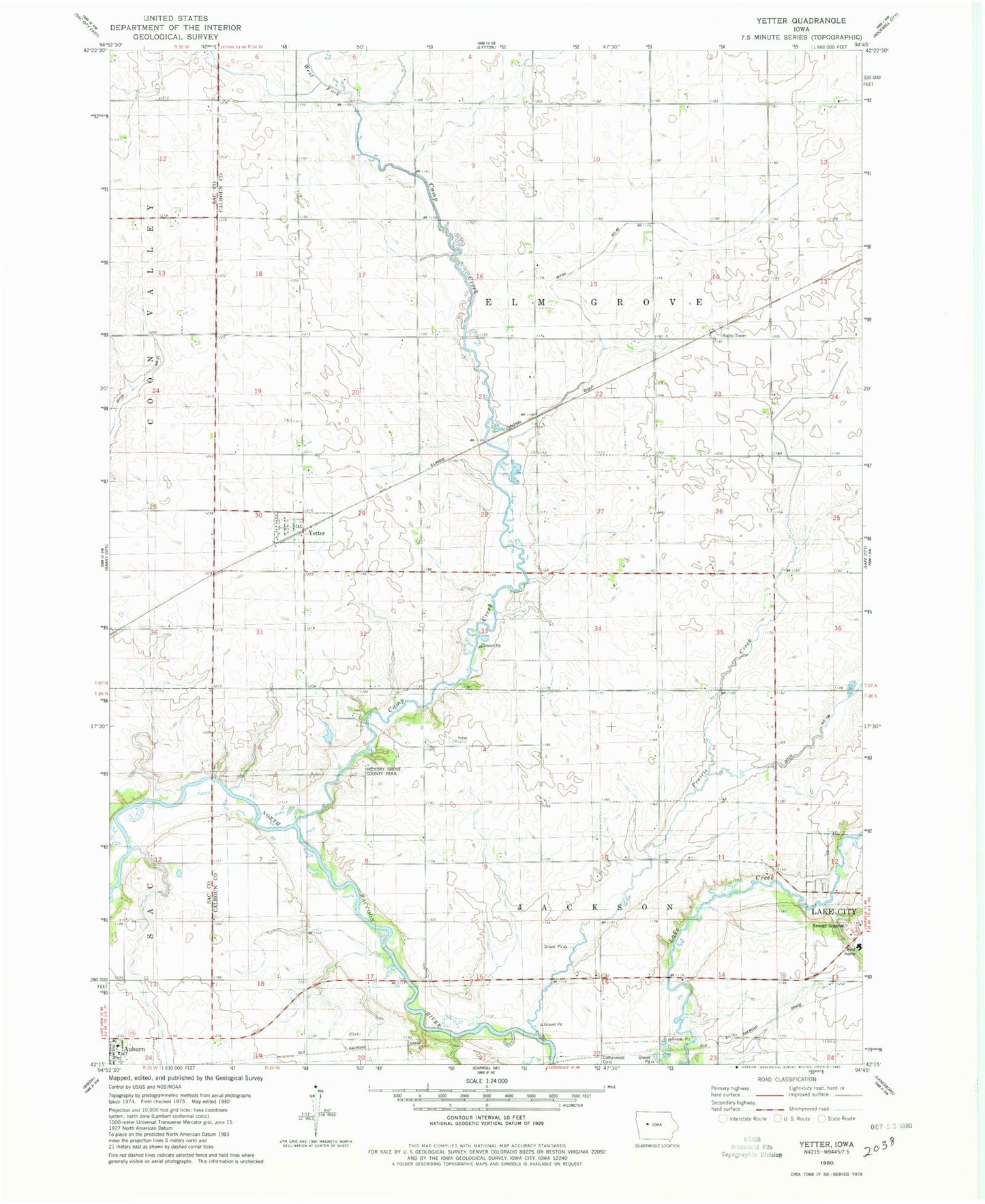
Classic USGS Yetter Iowa 7.5'x7.5' Topo Map
Couldn't load pickup availability
Historical USGS topographic quad map of Yetter in the state of Iowa. Map scale may vary for some years, but is generally around 1:24,000. Print size is approximately 24" x 27"
This quadrangle is in the following counties: Calhoun, Sac.
The map contains contour lines, roads, rivers, towns, and lakes. Printed on high-quality waterproof paper with UV fade-resistant inks, and shipped rolled.
Contains the following named places: Camp Creek, Camp Creek Wildlife Area, City of Yetter, Drainage Ditch 46, Elm Grove Wildlife Area, Elmgrove Post Office, Hickory Grove County Park, Lake City Cemetery, Prairie Creek, Saint Marys Catholic Church, Saint Marys Cemetery, Saint Marys School, Shady Oaks Center, Township of Elm Grove, Township of Jackson, West Fork Camp Creek, Yetter, Yetter Post Office