MyTopo
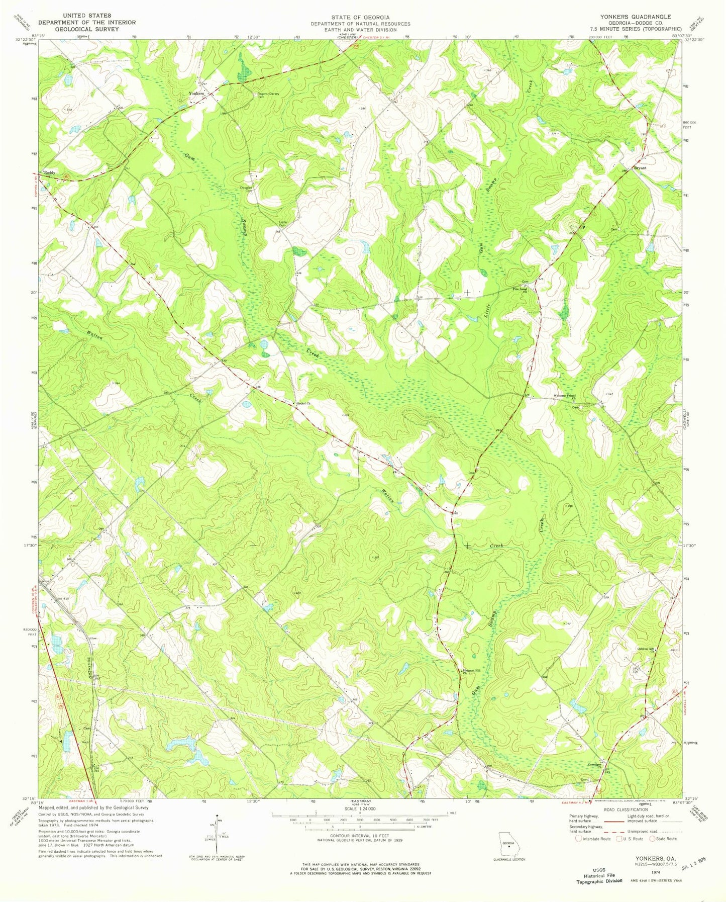
Classic USGS Yonkers Georgia 7.5'x7.5' Topo Map
Couldn't load pickup availability
Historical USGS topographic quad map of Yonkers in the state of Georgia. Map scale may vary for some years, but is generally around 1:24,000. Print size is approximately 24" x 27"
This quadrangle is in the following counties: Dodge.
The map contains contour lines, roads, rivers, towns, and lakes. Printed on high-quality waterproof paper with UV fade-resistant inks, and shipped rolled.
Contains the following named places: Bethel Church, Bryant, Chester Division, Douglas Cemetery, Giddens Gift Church, Gresston Church, Lister Cemetery, Little Gum Swamp Creek, Long Pond, Long Pond Dam, Milton Tripp Lake, Ocmulgee Church, Pine Level Church, Pleasant Hill Church, Rogers - Darsey Cemetery, Thankful Church, Tripp Dam East, Tripp Pond East, Tripp Pond West, Tripp Pond West Dam, Walton Creek, Welcome Friend Church, Wilton Tripp Dam, Yonkers